691 W 925 S — Full Deed Chain
:::caution Ownership records only — no wrongdoing implied This page is a public-records instrument log. Naming prior owners, lenders, or the university documents who held title when, nothing more. No one listed here is accused of any crime. The staging allegation is a separate, unverified lead. :::
Current parcel (the live title)
Earlier pages relied on the old serial 36:214:0001 (serial life 1983–1993). The live Utah County serial for this address is:
| Field | Value |
|---|---|
| Current serial | 36:443:0006 |
| Serial life | 1994… (open) |
| Address | 691 W 925 SOUTH – OREM |
| Taxing description | LOT 2, PLAT J, COLLEGE HEIGHTS. AREA 1.239 AC. |
| Acreage | 1.239 (matches UVU board language; the old 0.82 figure is the obsolete serial) |
| Owner of record | UTAH VALLEY UNIVERSITY (2020… and 2020NV rows) |
| Mailing address | 800 W UNIVERSITY PKWY, OREM, UT 84058-6703 (main campus) |
| Last title document | Entry 46392-2019 — Warranty Deed, May 24, 2019 |
| County photo | Assessor house image on file |
Source: Utah County Property — serial 36:443:0006 · Abstract · owner name search under UTAH VALLEY UNIVERSITY.
That mailing address is the university's main parkway address, not a private family — consistent with institutional ownership still in force years after the 2019 purchase.
Owner-of-record timeline (county name roll)
From the county property page, owner names by tax-year window (earliest first):
| Years (as shown) | Owner name on roll |
|---|---|
| (pre-1994 NV) | BRODERICK, PAULINE S |
| 1994–1996 | MARKIDES, KOSTAS and MARKIDES, KARIN E (spelling on this serial: Markides, not "Markidas") |
| 1997–1998 | MARKIDES, KOSTAS (then transition year) |
| 1997 / 1999–2019 | THEOBALD, PAUL H and THEOBALD, DOROTHY H (with trustee variants) |
| 2020… present | UTAH VALLEY UNIVERSITY |
Source: owner-name history on the 36:443:0006 property page.
Title-transfer instruments that matter
These are the actual deeds that moved fee title. Entry numbers are Utah County recorder entries so anyone can re-pull them.
1. Broderick → Markides (1993)
| Entry | Date | Type | Grantor → Grantee |
|---|---|---|---|
| 17408-1993 | 03/25/1993 (rec. 03/26) | QCD | BRODERICK, DE RAE & DERAE TEE (et al.) → BRODERICK, PAULINE S |
| 17409-1993 | 03/24/1993 (rec. 03/26) | WD | BRODERICK, PAULINE S → MARKIDES, KOSTAS & KARIN E ($10 nominal) |
| 17410-1993 | 03/25/1993 (rec. 03/26) | TR D | MARKIDES, KOSTAS & KARIN E → BRODERICK, PAULINE S ($266,650 trust deed — seller financing) |
The house sits on College Heights land the Broderick family developed; DeRae Broderick's construction firm had used this address as a registered business address in the early 1990s (see Prior Owners).
2. Markides → Theobald (1998)
| Entry | Date | Type | Grantor → Grantee |
|---|---|---|---|
| 125453-1998 | 12/03/1998 (rec. 12/04) | WD | MARKIDES, KOSTAS → THEOBALD, PAUL H & DOROTHY H ($10 nominal) |
| 125454-1998 | 12/03/1998 | D TR | THEOBALD → BANK OF AMERICAN FORK ($452,600) |
| 133017-1998 | 12/14/1998 | D TR | THEOBALD → HEADLANDS MORTGAGE COMPANY ($450,000) |
Paul and Dorothy Theobald bought the home in December 1998 and held it for roughly 20 years.
3. Theobald → Utah Valley University (2019) — the key transfer
| Entry | Date | Type | Grantor → Grantee |
|---|---|---|---|
| 21832-2019 | 03/01/2019 (rec. 03/18) | REC | ZIONS BANCORPORATION TEE → THEOBALD, PAUL H & DOROTHY H (reconveyance clearing a prior trust deed) |
| 46392-2019 | 05/24/2019 (rec. same day, 2:21 pm) | WD | THEOBALD, PAUL H TEE (et al.) → UTAH VALLEY UNIVERSITY |
| 79336-2019 | 08/15/2019 (rec. 08/19) | RSUBTEE | MERS et al. → THEOBALD (reconveyance of remaining Security Home Mortgage trust deed) |
The warranty deed of May 24, 2019 is the instrument that put UVU on title. The board minutes say the university accepted the Theobalds' contract at the appraised value of $900,000 as an extension of the campus Master Plan — ratified by the full Board of Trustees on June 18, 2019 after the Executive Committee had already approved it in May.
Sources: Abstract instruments; UVU Board of Trustees minutes, June 18, 2019 ("purchase of a house located at 691 West 925 South, Orem… contract… accepted by the Theobalds… appraised value of $900,000"); utah.gov PMN meeting record.
Later instruments (after UVU ownership)
| Entry | Date | Type | Notes |
|---|---|---|---|
| 29609 / 29610 / 29611-2025 | rec. 04/24/2025 | N / CT / M PLAT | County/state notice and map-plat entries involving Utah County / Lake Mountain Central and Timpanogos (et al.) — administrative, not a sale of the house |
| 22694-2026 | 02/17/2026 (rec. 03/20/2026) | EAS | NIELSEN, MARK DALE & CINDEE D → CITY OF OREM (easement; abstract flags "Error in Legal Description") |
No warranty deed, quitclaim, or sale out of UVU appears on the abstract through early 2026. That is strong open-source evidence the university still owns the parcel as of the last abstract pull for this page. There is also no 2024–2025 title transfer in the window around September 10, 2025 — the absence is itself a finding (a quiet flip near the event would have been a lead; none shows).
Serial-history parents
Serial 36:443:0006 was created from parents 36:443:0003 and 36:443:0004 via the 1993 QCD (entry 17408-1993) — College Heights re-platting / segregation that produced Lot 2, Plat J. Source: Serial History.
How to re-pull every instrument
- Open Utah County Property serial 36:443:0006.
- Click Documents or Abstract.
- Open any entry number (e.g.
46392-2019) for the scanned instrument. - For the obsolete early serial still floating online: 36:214:0001 — do not treat it as current title.
What this chain does and does not prove
- Does prove: continuous, ordinary residential ownership (developer → private owners → long-term family → university campus-expansion purchase), with instrument numbers.
- Does not prove: anything about who occupied the house in September 2025, whether trucks barricaded a driveway, or the staging allegation. Title and occupancy are different questions — see Rental & Listing History and Records Requests.
Laws (Charlie Kirk)
A complete public deed chain still cannot show key cards, visitor logs, or short-term use on a university-owned house. That is what GRAMA requests and the Charlie Kirk Investigation Laws are for.
Interesting In This Area
- UVU took title by warranty deed on May 24, 2019.
- Every prior owner is deceased or unconnected to the case.
- A 2019 tax adjustment marks the mid-year transfer to a tax-exempt owner.
- The staging claim names no occupant, no date and no evidence.
Interesting In Other Areas
- Four proposed federal laws would compel exactly this class of record.
- Discovery fights show what happens when records stay sealed instead.
- The same university faced GRAMA questions over its own post-event records.
- Every location in the case is indexed: courtyard, roof, airports, hospital, properties.
Other Pages In This Section
691 W 925 S — Location and the Property
A 7,486-square-foot, six-bedroom house built in 1980 — and, contrary to the real-estate aggregators, about a quarter-mile from the campus edge. UVU's own board called it "contiguous to campus."
Read this691 W 925 S — Records You Can Request (GRAMA)
Four ready-to-send GRAMA requests: the Orem police canvass file, UVU's own use and key-issuance records for the house, city license and permit files, and UVU Police reports. Filing one accuses nobody and costs nothing.
Read this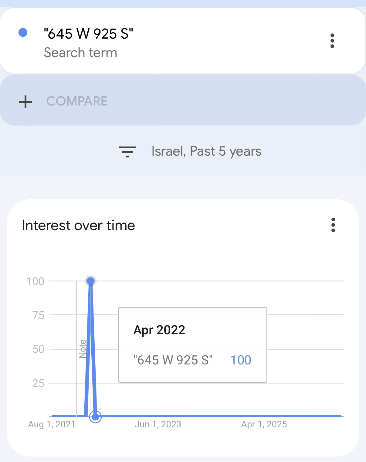
Everything downstream of 12:23 PM on September 10 — surrender, paving, gag orders, resignations, visa enforcement, and the residential block north of campus. Start here to read the aftermath as one connected thread rather than seven separate fights.
Read this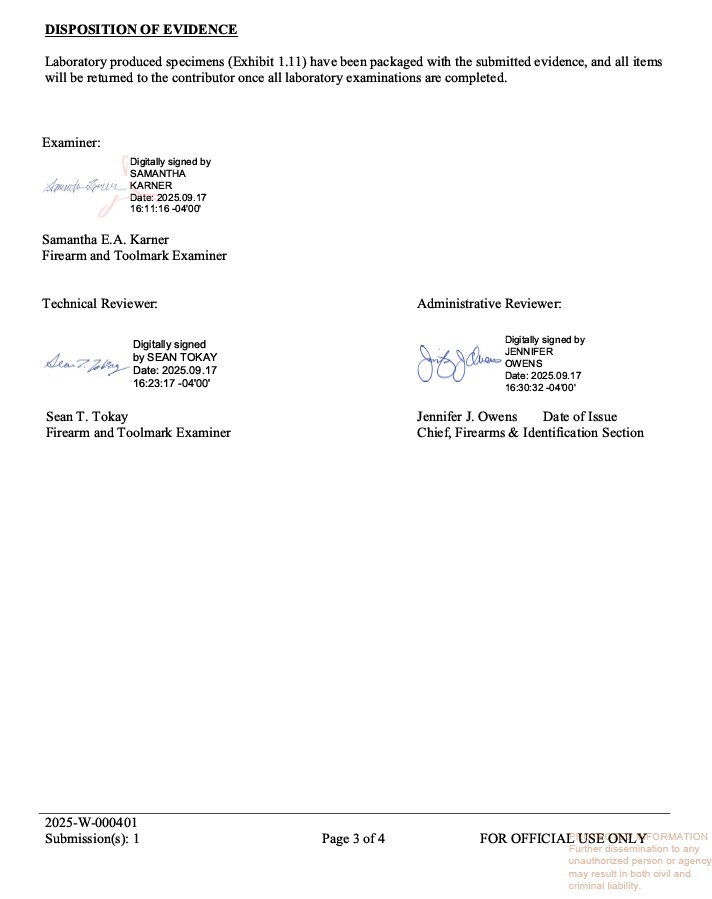
Site Changes and Crime-Scene Handling
The ground where Charlie Kirk was killed was torn up and paved within days, on a finish-by-Monday schedule that included a Sunday. The lead investigator reportedly learned of it from the news.
Read thisElsewhere In The Investigation
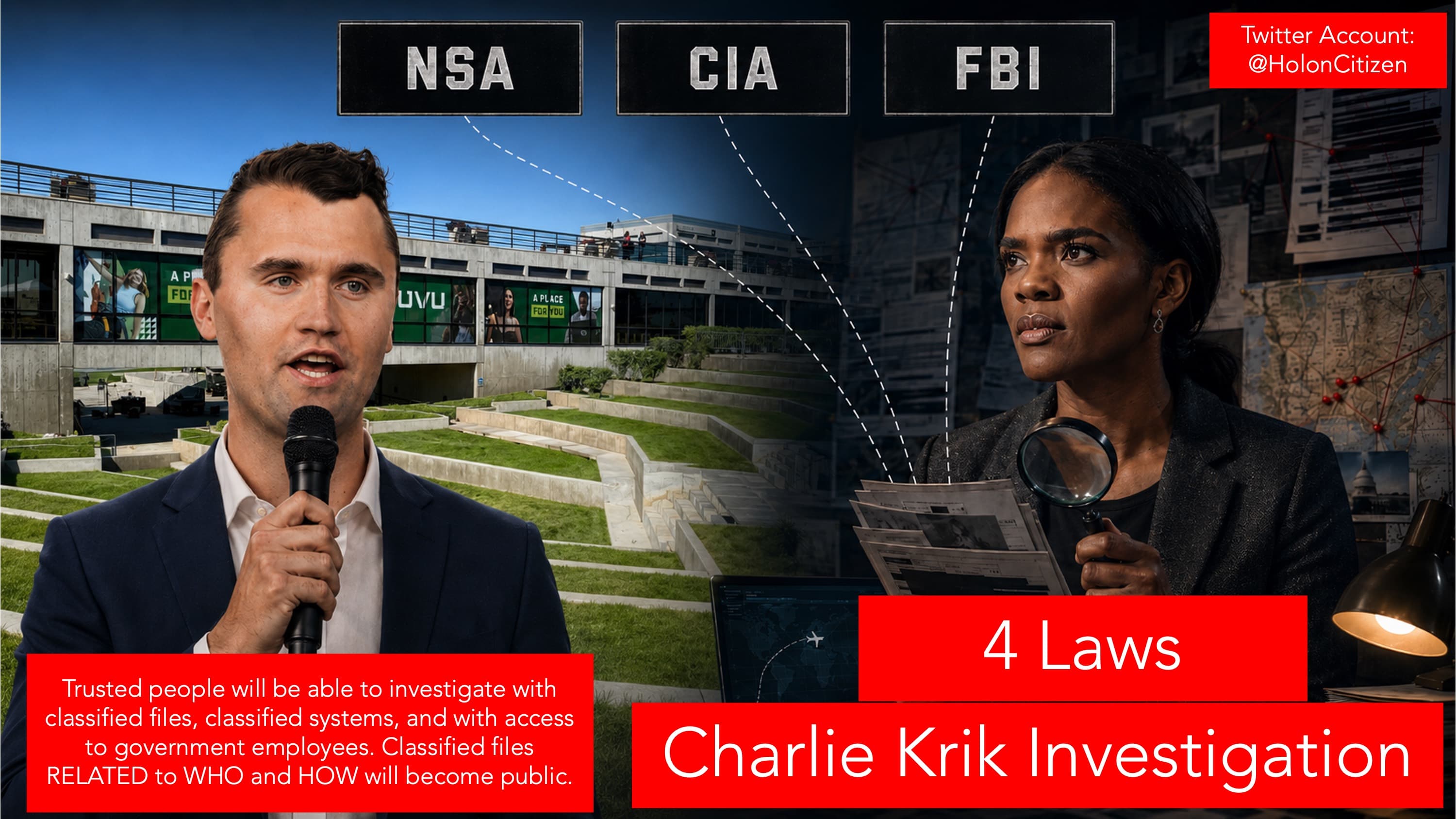
Four federal laws modeled on the Epstein Files Act, drafted to force disclosure and mandate a real investigation. Every unanswered question in the aftermath is downstream of records nobody can compel today.
Read thisA reported 600,000-file production arrived while the DNA chain-of-custody material the defense asked for reportedly did not. The fight over what the defense received is now the fight over what the public will ever see.
Read this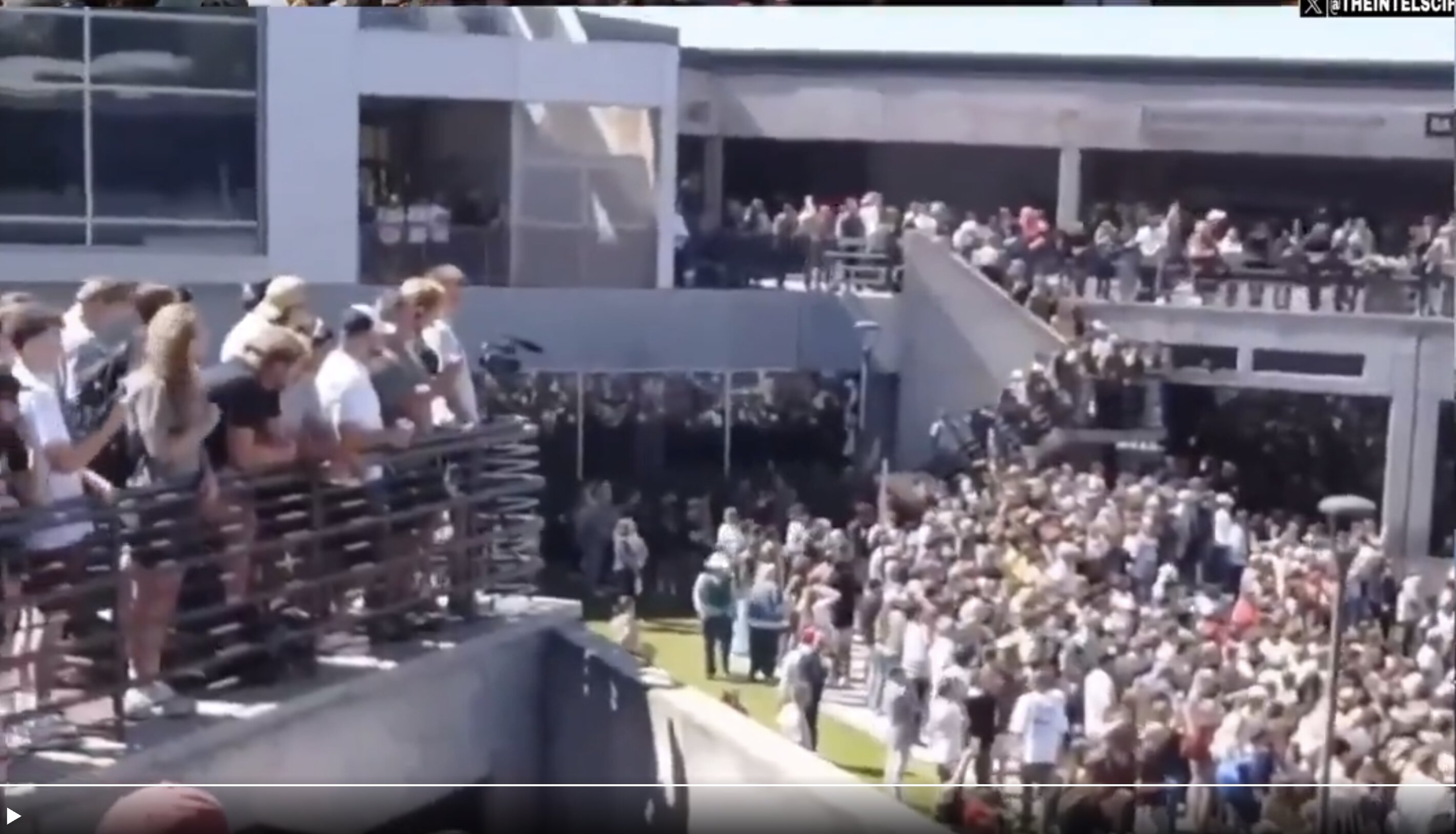
GRAMA records, undelivered warnings, emergency alerts and the university's handling of its own files — the institutional half of September 10. The same institution turns out to own the house north of campus.
Read this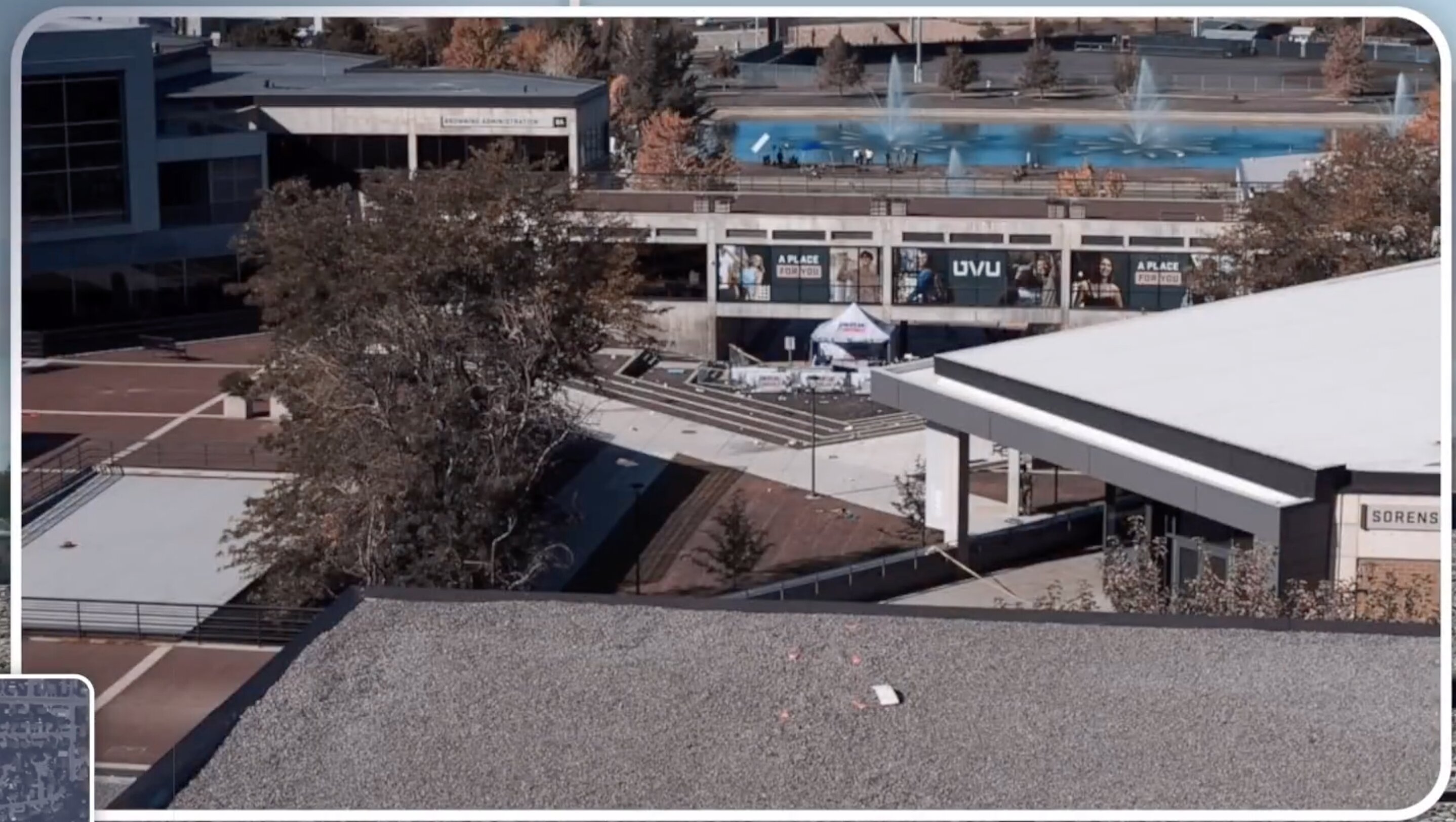
A hyperlinked index of every location that matters: the courtyard, the roof, the custody chain, the airports, the hospital and the disputed properties north of campus.
Read thisThis website's author is @HolonCitizen on X and YouTube/@HolonCitizen. Follow me there.
Interesting
- One prior owner died days after the property closed to UVU in May 2019.
- A surveillance cut stamped 12:23:35 PM pins the roof-figure sequence to seconds after the report.
- A SEAL Team Six veteran and a retired brigadier general say the official account fails operationally.