691 W 925 S — Location and the Property
This page collects the plain physical facts about the address at the center of the staging allegation. None of it, on its own, implies wrongdoing — it is the baseline a reader needs before weighing any claim about the house.
The address
- Street address: 691 W 925 S, Orem, UT 84058
- County: Utah County, Utah
- Neighborhood: Sunset Heights, Orem (just north of the UVU campus), per real-estate aggregators
- ZIP+4 on county mailing record: 84058-6784
What the property is
Public real-estate databases describe the home as follows. Figures differ slightly between sources, so both are shown rather than a single "clean" number:
| Attribute | Value (as listed publicly) |
|---|---|
| Property type | Single-family home |
| Bedrooms | 6 |
| Bathrooms | 6 (some aggregators say 5) |
| Living area | ~7,486 sq ft |
| Year built | 1980 |
| Lot size | 1.239 acres on the live county serial (36:443:0006, Lot 2, Plat J, College Heights). The older serial 36:214:0001 still shows 0.82 — obsolete. |
| Subdivision | College Heights, Plat J, Lot 2 |
| Tax assessed market value (2019–2020 roll) | $755,000 (UVU paid appraised $900,000) |
| Aggregator value / rent est. | Realtor.com ~$1.50M est.; Zillow rent est. ~$3,783/mo (automated) |
| Neighborhood tag | Real-estate sites say "Sunset Heights"; UVU's board calls it "contiguous to campus" with "excellent access… from Campus Drive" |
| Current owner mailing | UVU main campus: 800 W University Pkwy |
Lot-size discrepancy resolved: trust 1.239 acres from the current assessor/taxing description and UVU board paperwork. Sources: current parcel 36:443:0006, Trulia, Movoto, Zillow, Realtor.com (notes UVU Bookstore ~0.3 mi).
Distance and relationship to the shooting site
The house is close to campus — this is the single most important geographic fact, and an earlier draft of this page had it wrong. By the Orem street grid and by geocoding, 691 W 925 S sits only about a quarter-mile from the northern edge of the Utah Valley University campus — a few minutes' walk, not the "roughly three miles" a previous version stated.
The strongest proof is UVU's own paperwork. When the university bought this house in 2019, its Board of Trustees described the property as "contiguous to campus" and framed the purchase as a way to "expand the campus footprint to the north" — an institution does not call a home three miles away "contiguous." UVU's Computer Science Building sits at 601 West 1000 South; the house at 691 West 925 South is one block north of it on the same grid. The board record and the building grid agree: this is a campus-edge property, which is why the aggregators' "Sunset Heights, several miles off" tag is simply a geocoding error.
The grid makes it concrete. UVU's north-campus building, the Utah County Academy of Sciences, carries the address 940 W 800 S; the house is at 691 W 925 S — about 125 address-units south and 250 units east, which on Orem's grid is roughly 0.2 mile. Geocoding puts the house near 40.2801, −111.7106 and the UVU campus point near 40.2778, −111.7139, a straight-line separation of about 0.25 mile. The exact door-to-door distance to the Losee Center courtyard where Charlie Kirk was struck should still be measured on a current map, but it is well under a mile — walking distance.
| Reference point | Grid address | Approx. from the house |
|---|---|---|
| The house | 691 W 925 S | — |
| UVU north-campus (UCAS) | 940 W 800 S | ~0.2 mi |
| UVU campus point (geocode) | ~40.2778, −111.7139 | ~0.25 mi |
So the property is not a distant address in "south Orem" — it is an ordinary residential home immediately north of the UVU campus. That proximity does not by itself prove anything: thousands of homes sit near a university, and closeness is exactly what an innocent explanation predicts too. But it does mean the staging allegation describes a house within easy walking distance of the shooting site, which is why the lead is worth checking rather than dismissing on distance grounds. Note also that the house is a residence near — not a firing position on — the campus; the shooting position reported by authorities was the Losee Center roof, not this address. Sources: UVU campus address / UCAS grid address, and geocoding of the property grid address.
Look it up yourself
- Current Utah County parcel (36:443:0006): property page · abstract / deeds
- Obsolete serial (36:214:0001): old snapshot only
- Trulia: 691 W 925 S
- Zillow: 691 W 925 S
- Movoto: 691 W 925 S
- Same-block court camera address: 680 W 925 S context
- Map: search the address on any mapping service to see its position relative to UVU.
Laws (Charlie Kirk)
Establishing whether an off-campus residence played any role in the attack requires the vehicle, phone, and occupancy records that only a mandated, transparent investigation can compel — see the Charlie Kirk Investigation Laws.
Interesting In This Area
- UVU board minutes call the property contiguous to campus, not miles away.
- Neighbor cameras on these blocks were canvassed door to door.
- Court video places a Challenger on the same street at 00:30.
- The staging claim describes planning, never a firing position.
Interesting In Other Areas
- Authorities place the firing position on the Losee Center roof instead.
- The escape route ran through these same residential streets.
- Spatial analysis of the courtyard, roof and corridor is collected separately.
- Every location in the case sits in one hyperlinked index.
Other Pages In This Section
691 W 925 S — Neighborhood, Cameras and Witnesses
ATF and police went door to door on these blocks for doorbell video, and one homeowner's camera caught the man authorities identify as the suspect. The page also separates three different grey Challenger claims that are routinely merged into one.
Read this691 W 925 S — Rental and Listing History
"Was it rented?" is the one part of the staging claim that records can actually settle. No listing for this address surfaces on any platform checked — which is not proof, because delisted bookings do not stay indexed.
Read this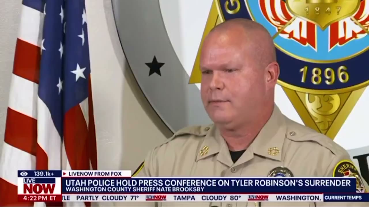
Institutional Resignations After the Shooting
A sheriff, a university president, a state chief medical examiner and an FBI field boss all left their posts inside a year. Each departure has an ordinary explanation; the page tracks the timing anyway, because the surrender dispute runs through some of the same people.
Read thisVisa Revocations After Online Celebrations
Visa revocations, deportations and a reported 600-plus workplace actions followed celebration posts. It is the aftermath thread with the least to do with ballistics and the most to do with how institutions behave under pressure.
Read thisElsewhere In The Investigation
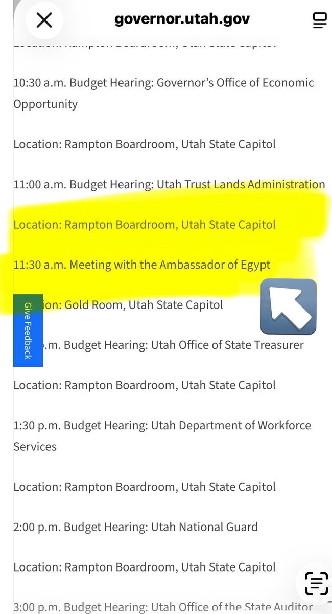
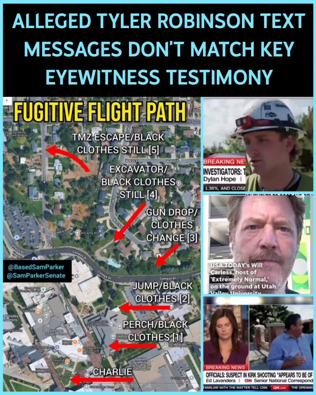
Black-Clad Fugitive Escape Path
An 11:47 reconstruction of every reported sighting of the all-black figure who left the Losee Center roof — dispatch audio, the crawl, the woods, and the residential streets north of campus.
Read this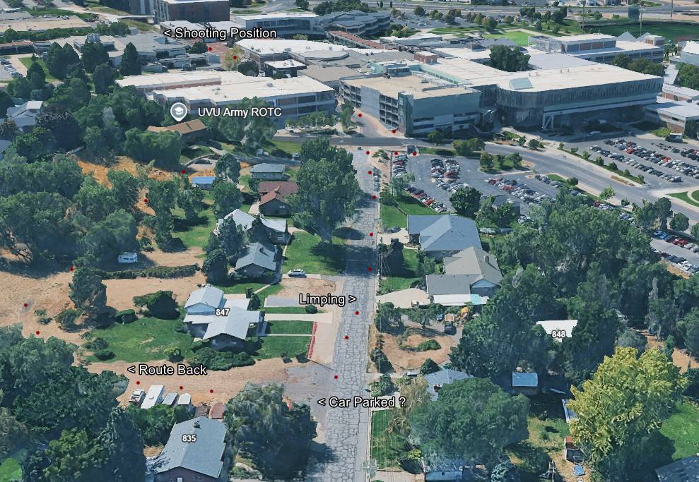
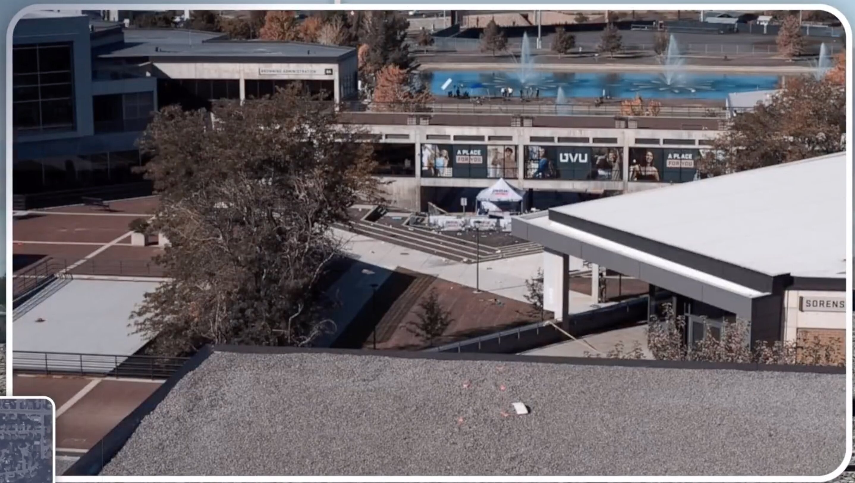
A hyperlinked index of every location that matters: the courtyard, the roof, the custody chain, the airports, the hospital and the disputed properties north of campus.
Read thisThis website's author is @HolonCitizen on X and YouTube/@HolonCitizen. Follow me there.
Interesting
- A walkthrough video claims box trucks and a dumpster barricaded this property the morning of 9/10.
- An FBI contact reportedly told a witness to erase video — cameras hub.
- Tyler on cameras in the courtyard and rooftop the same second.