Cedar City Maverik Gas Station (I-15)
The Maverik gas station in Cedar City, Utah (on I-15, roughly 215–250 miles south of UVU) is a confirmed surveillance point on Tyler Robinson's southbound drive after the September 10 shooting.
What the record describes
According to Charlie_Kirk.txt researcher compilation and consistent reporting:
| Detail | Source type |
|---|---|
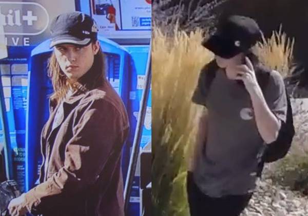
| Date/time: Sept 11, ~7:15–7:17 AM MDT | Surveillance stills referenced in reporting |
| Vehicle: Gray Dodge Challenger | Same vehicle tied to southern-Utah residences |
| Payment: Credit card at pump | No approach to trash cans (initial dump-alert cleared) |
| Direction: Southbound on I-15 toward St. George / Washington City area | Fits overnight drive narrative |
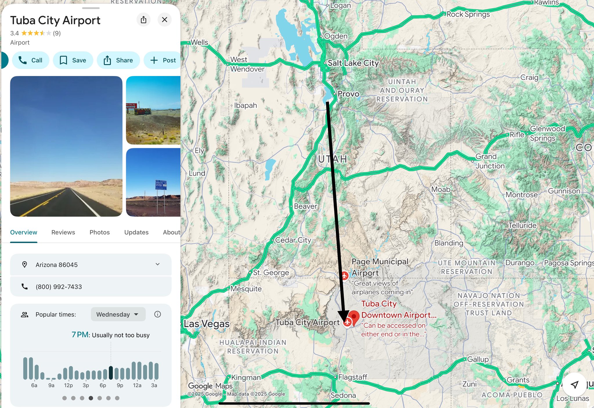
This stop sits between the Dairy Queen — Orem (~6:38 PM Sept 10) sighting and Robinson's arrival at his family's Washington City home before the evening surrender at Washington County Sheriff.
Why investigators focus here
- Hard timestamp on a public camera — rare fixed point in a contested timeline
- Vehicle identification — links Orem-area events to southern-Utah custody chain
- Trash-can alert — authorities initially asked stations to check for dumped evidence; Robinson reportedly did not use trash cans
Tyler Robinson is the accused and is presumed innocent. We do not claim Maverik staff or other customers were involved in the assassination.
Laws (Charlie Kirk)
Pump video, card-authorization logs, and geofence dumps for this Maverik on September 11 are among records the Charlie Kirk Investigation Laws may compel.
Citizen Investigator Claims on X
Citizen investigators treat the Cedar City Maverik stop as a fixed-camera time pin on the I-15 corridor between the Orem/UVU area and Washington County. Public commentary places surveillance around 7:15–7:17 AM on September 11, 2025 in the charged-suspect travel narrative. Online timeline builders contrast this morning pin with the earlier Orem Dairy Queen evening claim and the later Washington County Sheriff’s Office surrender window.
These location pins are used to stress-test whether the official path is continuous and whether any gap allows an alternate actor narrative. They do not, alone, prove guilt or innocence. Robinson is charged, not convicted. Related: Dairy Queen — Orem, Tyler Apartment / family home, Washington County Sheriff location.
Interesting In This Area
- Dairy Queen CCTV puts the accused in Orem at 6:38 PM.
- The surrender came that evening; the county says it never questioned him.
- Two southern-Utah addresses anchor the far end of this drive.
- Booking 460956 followed an overnight transport of roughly 250 miles.
Interesting In Other Areas
- Doorbell and traffic cameras build the movement chain that drive times test.
- Mirandized at 6:25 PM; the sheriff describes learning of him at 8:02.
- The first-hours description named a stiff right-leg gait, absent when running.
- Restricted housing and remote appearances followed the Spanish Fork booking.
Other Pages In This Section
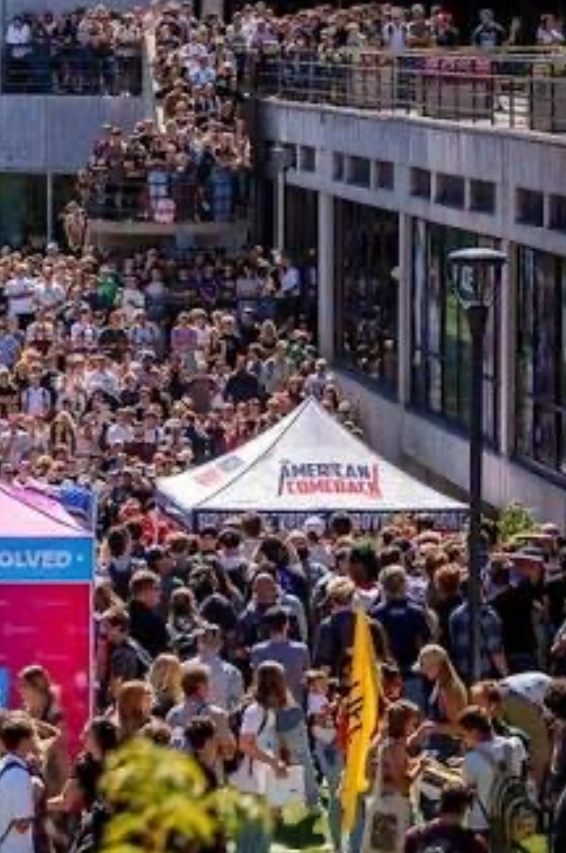
Construction Site — 785 College Dr, Orem
A worker at 785 College Drive reportedly described a man in a black trench coat and tactical gear, matching early dispatch language rather than the later T-shirt imagery. Officers reportedly showed the crew a photo that did not match.
Read this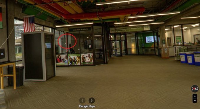
The airfield ten minutes from campus, where a badge-access list was reportedly updated the day after the shooting and an Egypt-registered Falcon had sat since September 4. Reported questions, not established facts.
Read this
A Danish house down the road from Goat Island, and an FBI director's press-conference line about seeing a friend in Valhalla. The page keeps the coincidence and the debunk side by side.
Read this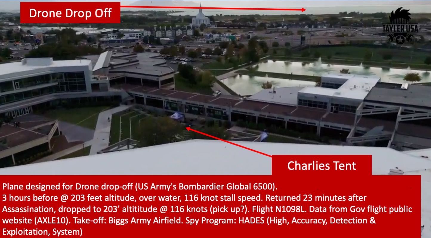
Dairy Queen — Orem (813 E 800 N)
Six hours after the shooting the accused was reportedly on restaurant CCTV at 6:38 PM, calm, seventeen minutes from campus. Timeline builders use the pin to test whether the affidavit's movement chain actually closes.
Read thisElsewhere In The Investigation
Doorbell, traffic, and campus cameras stitched into a movement chain, then tested against drive times. The southbound leg to St. George is where the timing questions get sharpest.
Read this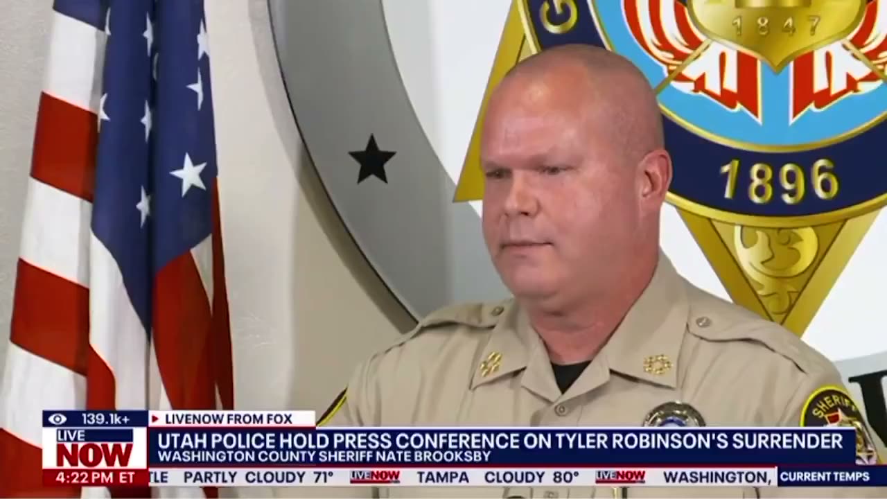
Sept 11 Surrender and Custody Timeline
Mirandized at 6:25 PM by one record; the sheriff describes learning of him at 8:02 PM. The gap between those two timestamps is where the discovery questions live.
Read thisSuspect Manhunt & Misidentification
The first-hours description — dark hat, flag shirt, dark jeans, a stiff right-leg gait — set against the man eventually charged. A witness says the photo he was shown was someone else.
Read thisBooking 460956 in Spanish Fork, restricted housing, remote appearances, and the jailhouse-informant process questions that follow from all three.
Read thisThis website's author is @HolonCitizen on X and YouTube/@HolonCitizen. Follow me there.
Interesting
- Witnesses at a nearby Orem construction site reportedly described a man in black tactical gear.
- Kirk's protection ran through a firm trading under a different legal name than its signage.
- The jet N1098L is reportedly flown by an ISR defense contractor.
Related Areas
Images