Property & Locations
Every murder investigation eventually becomes a map. In the Charlie Kirk case, citizen threads on X converge on whether the official geography — rooftop shot, wooded gun drop, Dairy Queen sighting, I-15 escape, Hurricane surrender — holds together in time and space. Start with the investigation index. Charlie Kirk was assassinated on September 10, 2025 at Utah Valley University, and the majority citizen finding — that an explosive at the microphone rather than a distant rifle shot did the killing — is what every location below is ultimately being tested against.
The highest-signal confirmed pins are the UVU courtyard event (~12:23 PM MDT), Timpanogos Regional Hospital transport, the wooded Mauser recovery, the Dairy Queen CCTV (~6:38 PM), the Cedar City Maverik stop (~7:15 AM Sept 11), the Hurricane sheriff surrender, and Spanish Fork jail booking. Those fixed coordinates let readers test drive-time math and custody transfers without accepting every theory.
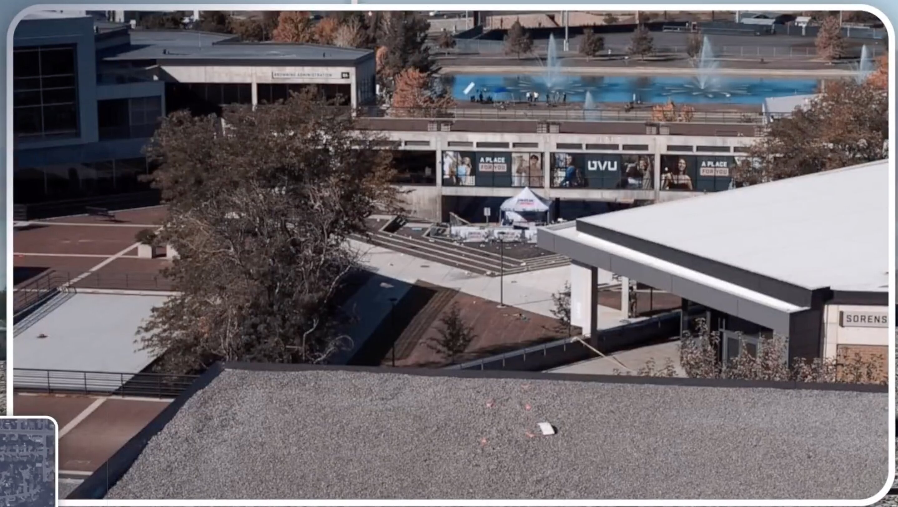
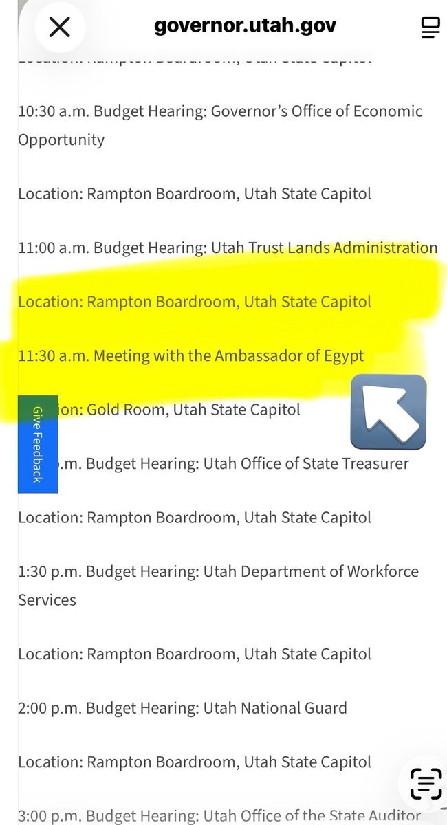
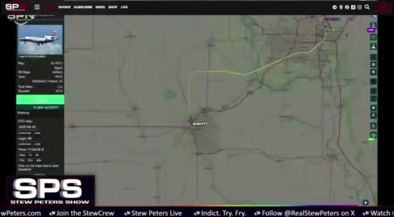
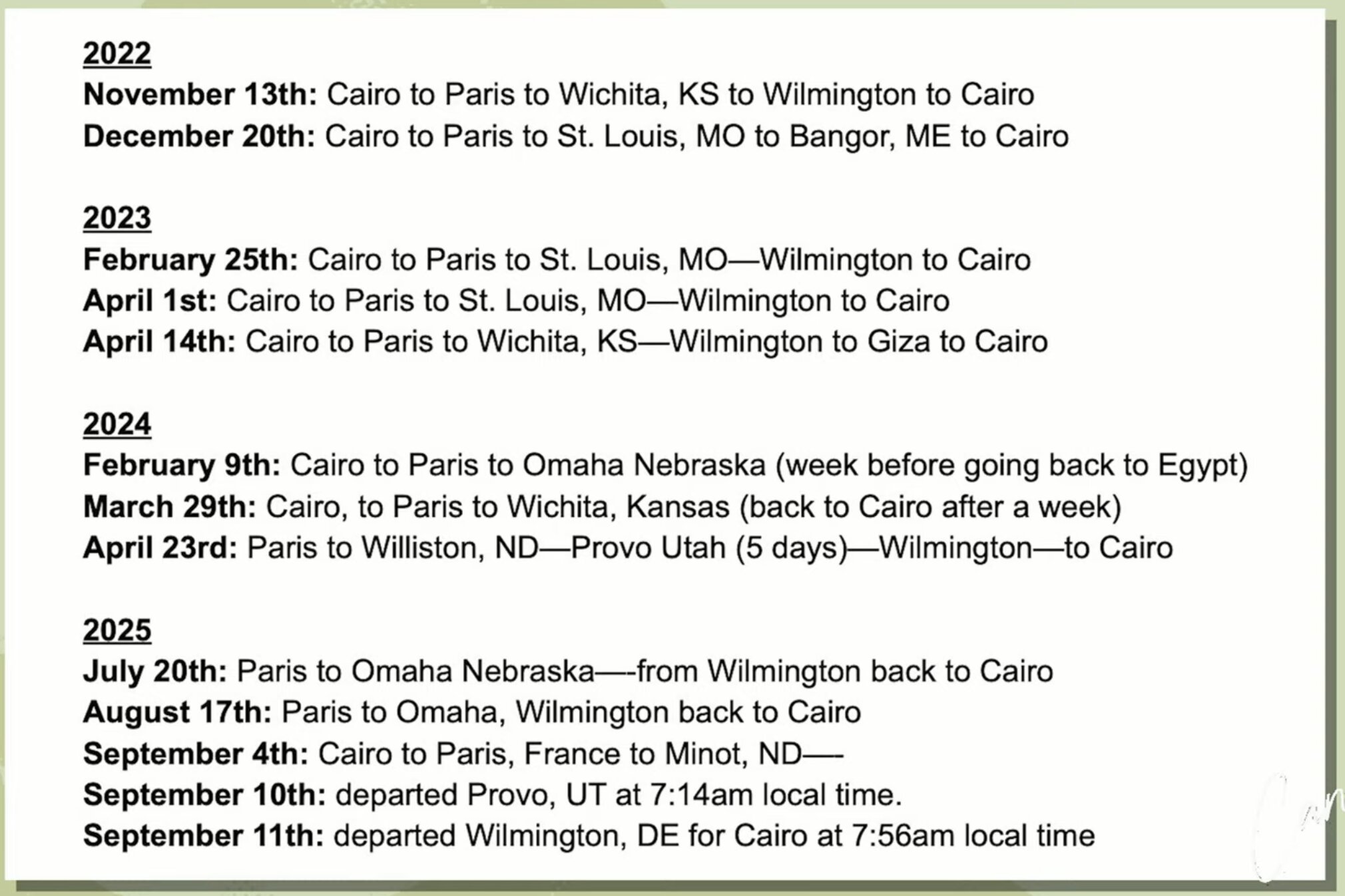
Parallel disputed-location threads keep resurfacing: 785 College Dr construction (all-black eyewitness vs affidavit clothing), university / Palentire parcels at the gun-drop edge, Provo Airport badge and foreign-jet claims, and the Valhalla / Goat Island coincidence after Kash Patel's press-conference wording. Campus spatial detail (Losee rooftop, tent, pavers) lives in UVU; flight numbers live in Planes.
Prioritize Investigation Index → your story (crime scene vs custody chain vs aviation) → cross-links into Tyler Robinson — Travel, Proof Not Tyler, and Maps. Confirmed addresses and booking records should be weighted heavier than OSINT property theories until deeds and CCTV are released.
Related Geography Across the Case
Many places that matter to the location story are documented in detail under other sections. These grouped links jump straight to that spatial detail — the campus crime scene, the airfields behind the flight-tracking questions, the places tied to Charlie Kirk himself, and the out-of-state and reported-claim sites that recur in open-source threads.
On the UVU campus (the crime scene):
Airports, jets & flight-tracking:
Places tied to Charlie Kirk:
Out-of-state & reported-claim sites (for verification, not established facts):
Laws (Charlie Kirk)
Geofence dumps, merchant CCTV, Provo Airport badge logs, property deeds, and crime-scene chain-of-custody for the courtyard and wooded recovery zone are exactly the records the Charlie Kirk Investigation Laws are designed to force into the open.
What Citizen Investigators Are Watching (Attributed)
Spatial debates on X group into crime-scene alteration (courtyard paving), alternate flee paths (construction site), I-15 camera pins, hospital routing, rifle woods, and symbolic geography (Valhalla/Goat Island). Use the TOC children for depth; this overview stays a map, not a dump of every thread.
Interesting In This Area
- The courtyard, the wooded recovery and the jail are the hardest pins.
- Cedar City Maverik timestamps the southbound drive at roughly 7:15 AM.
- Provo Airport, Valhalla and Palentire remain reported claims awaiting records.
- Washington County Sheriff says it asked nothing before custody moved north.
Interesting In Other Areas
- The UVU hub holds the rooftop, tent and paver detail this index omits.
- Planes carries the tail numbers behind every airport question raised here.
- The travel timeline sequences the drive south that these pins measure.
- Campus maps convert these addresses into distances and sight lines.
Other Pages In This Section
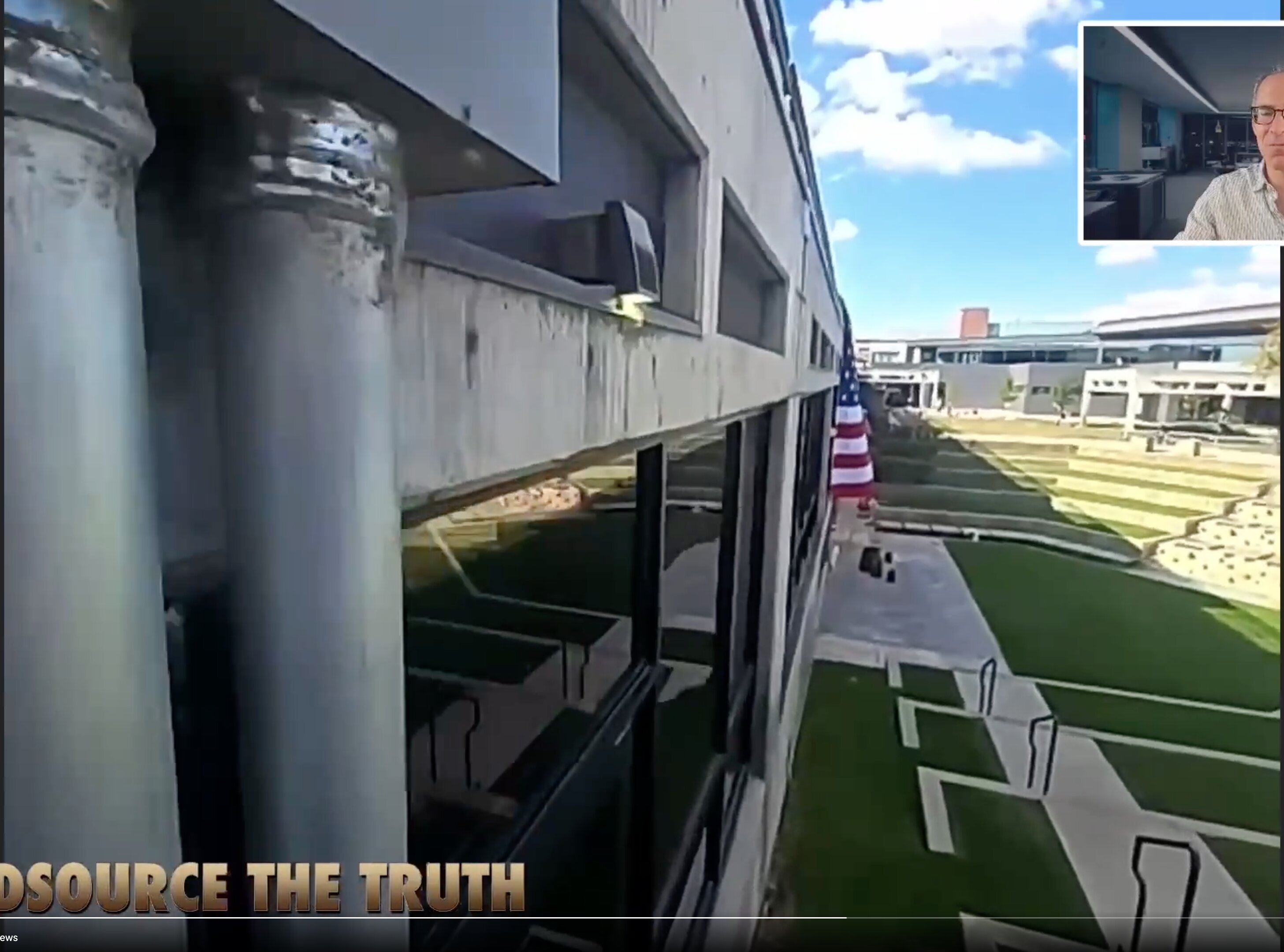
UVU Public Speaking Event (September 10, 2025)
The courtyard itself: tent stage, hybrid security, the 12:23 PM shot, and the paving that followed within days. The location page for the crime scene, with the mechanism argued elsewhere.
Read this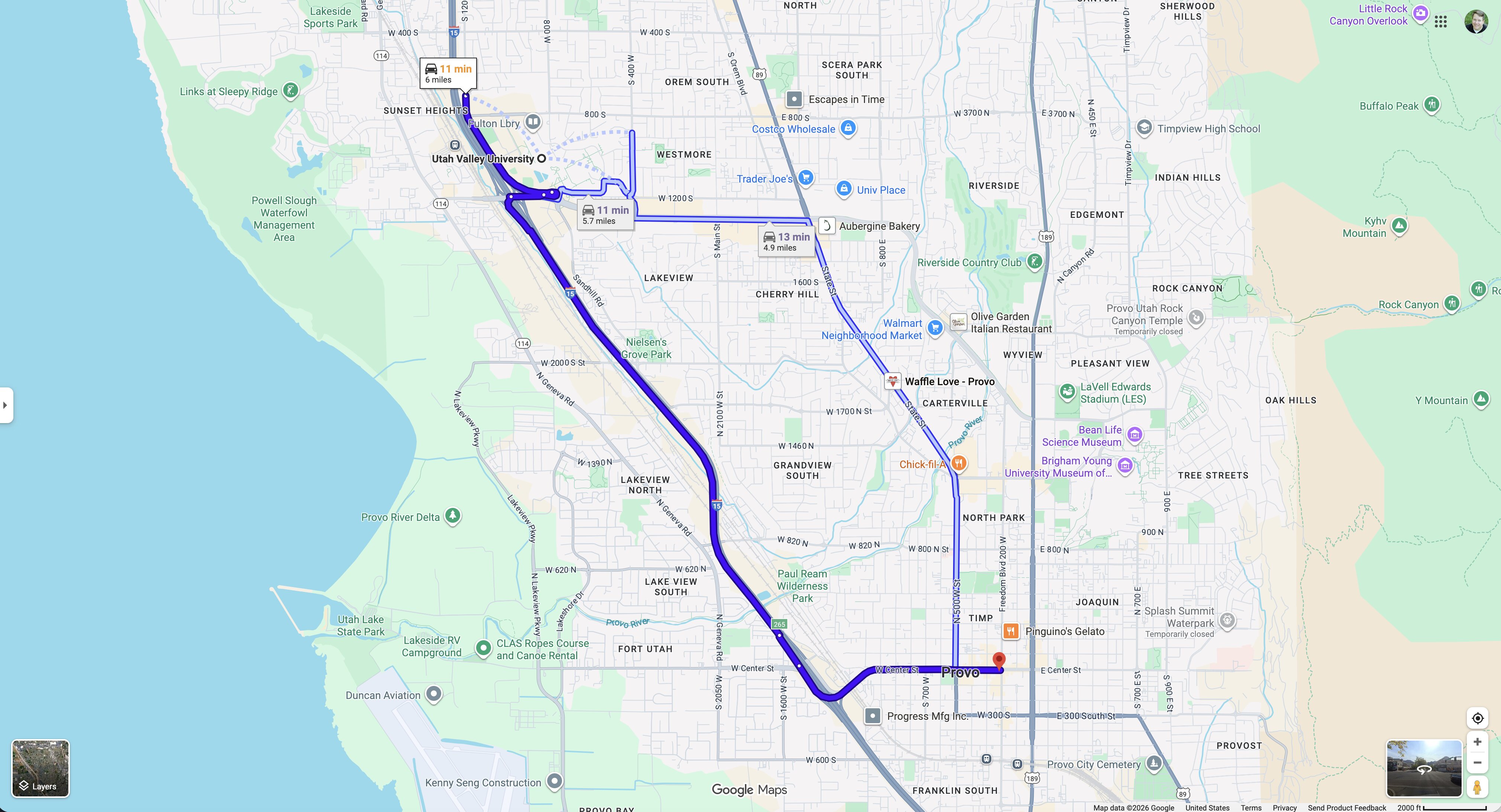
Wooded Area — Gun Recovery (North of UVU)
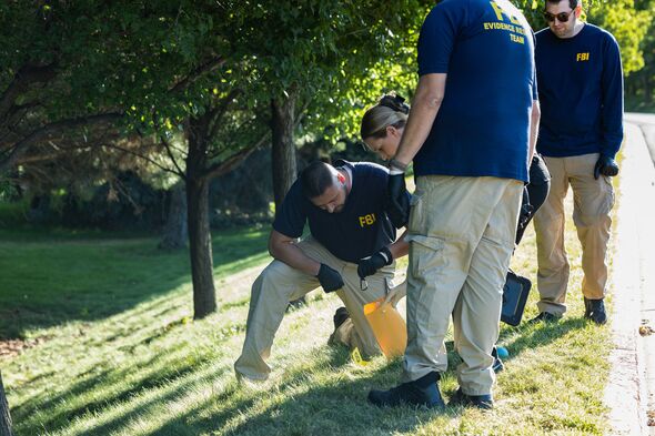
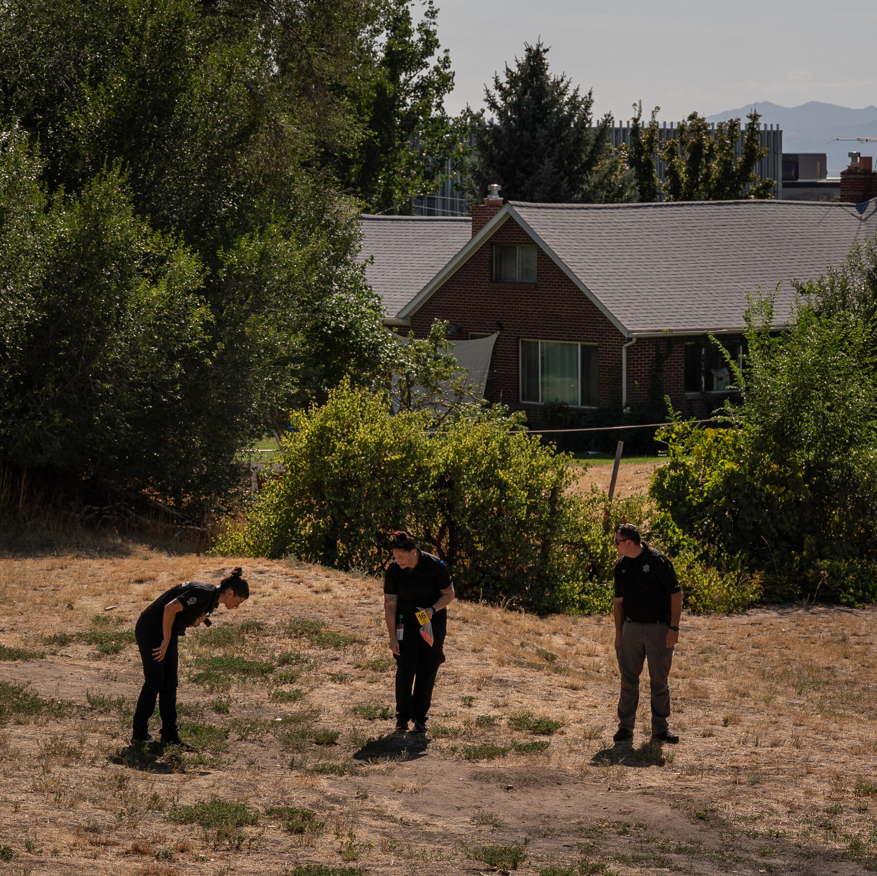
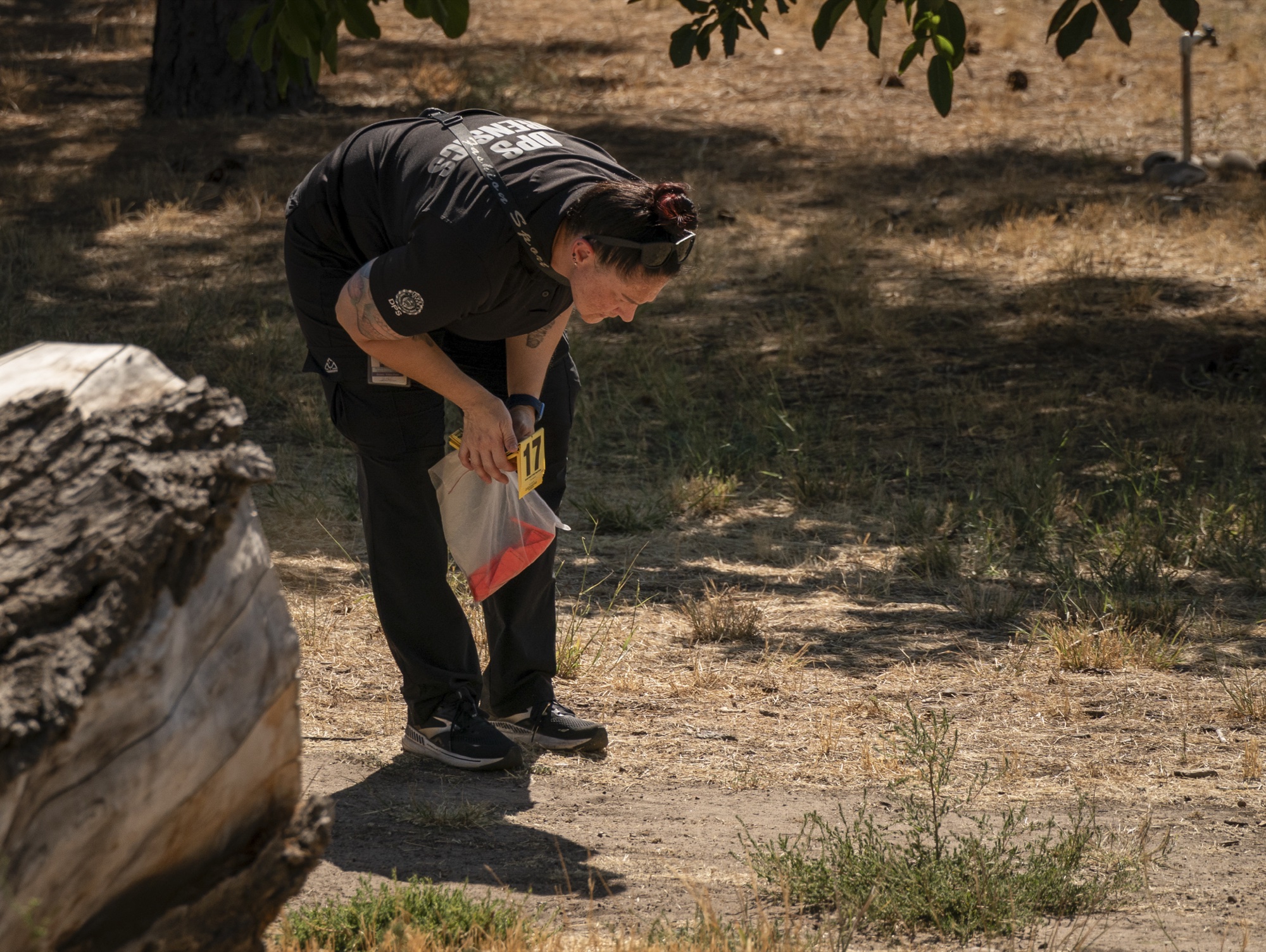
A scoped Mauser .30-06, reportedly wrapped in a dark towel, found in trees north of campus after earlier sweeps and a K-9 pass reportedly found nothing. The state's whole theory rests on that recovery.
Read this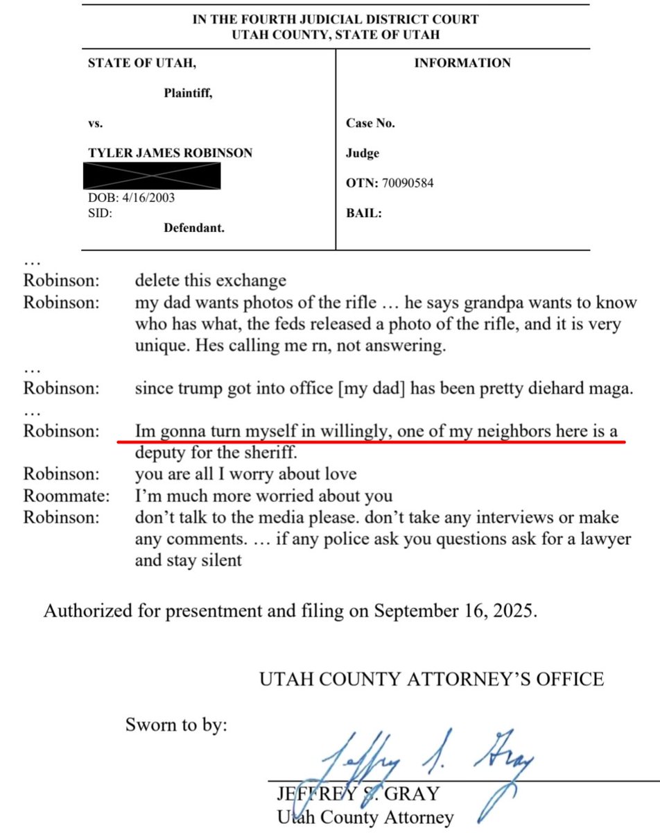
Washington County Sheriff's Office (Surrender Site)
The Hurricane office where the accused arrived with his parents, sat unrestrained with water, and was never questioned by the county. Federal and state investigators took custody around 2 AM and drove north.
Read this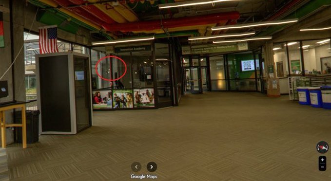
The airfield ten minutes from campus, where a badge-access list was reportedly updated the day after the shooting and an Egypt-registered Falcon had sat since September 4. Reported questions, not established facts.
Read thisElsewhere In The Investigation
Doorbell, traffic, and campus cameras stitched into a movement chain, then tested against drive times. The southbound leg to St. George is where the timing questions get sharpest.
Read this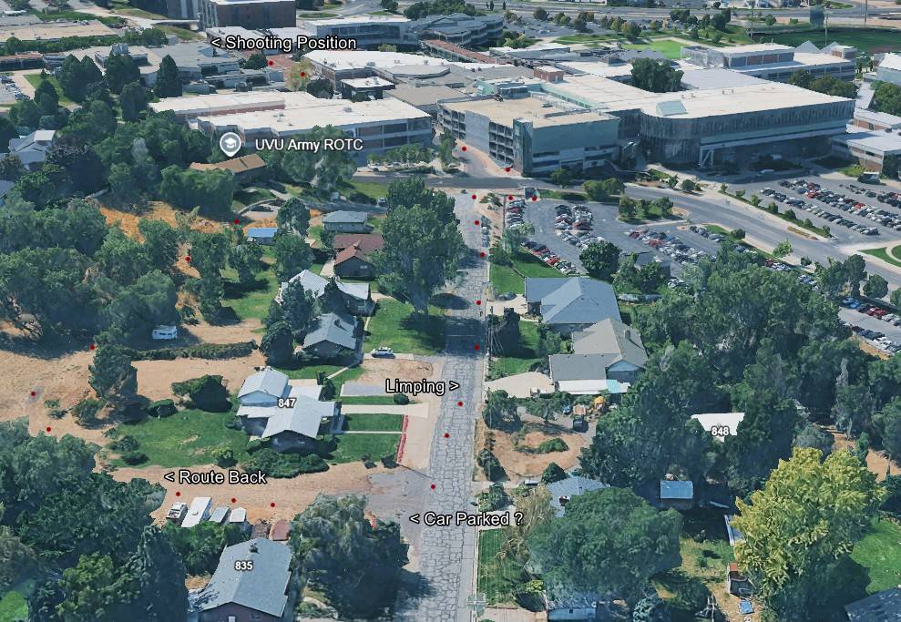
This website's author is @HolonCitizen on X and YouTube/@HolonCitizen. Follow me there.
Interesting
- A judge seated four months earlier issued the Provo gag order himself.
- Only six officers reportedly covered the event and a drone request was denied, with no counter-snipers.
- A transport officer was reportedly hours away before the 8:04 PM surrender call.
Related Areas
Images