Drone Drop Off Slide 3: Tent and Water
 Next Image
What This Image Shows
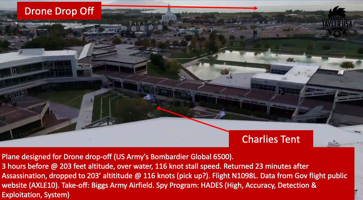
One cut of a thirteen-slide deck built on a single annotated aerial photograph of the Utah Valley University campus.
The red banner across the bottom reads: "Plane designed for Drone drop-off (US Army's Bombardier Global 6500). 3 hours before @ 203 feet altitude, over water, 116 knot stall speed. Returned 23 minutes after Assassination, dropped to 203' altititude @ 116 knots (pick up?). Flight N1098L. Data from Gov flight public website (AXLE10). Take-off: Biggs Army Airfield. Spy Program: HADES (High, Accuracy, Detection & Exploitation, System)." The misspelling of "altititude" and the question mark after "pick up?" are in the original.
This cut looks down at the plaza, the reflecting pond and the distant temple, with the red arrows and banner overlaid. Worth holding alongside it: the operator has been reported as describing low passes of this kind as drone retrieval training, and researcher @tjphager has argued the airframe was never configured to launch drones at all.
Go up to Drop Off for the clean unannotated aerial, then weigh the claim against N1098L Spy Plane and Sept 10 Flight Timeline.
This website's author is @HolonCitizen on X and YouTube/@HolonCitizen. Follow me there.
Where This Image Appears
This image is used on the following investigation pages:
Related Areas
- Cluster: 2 Drop Off Spy Plane
- All photos: Photos
More In This Cluster
- Previous: Drone Drop Off Slide 2: Tent and Water