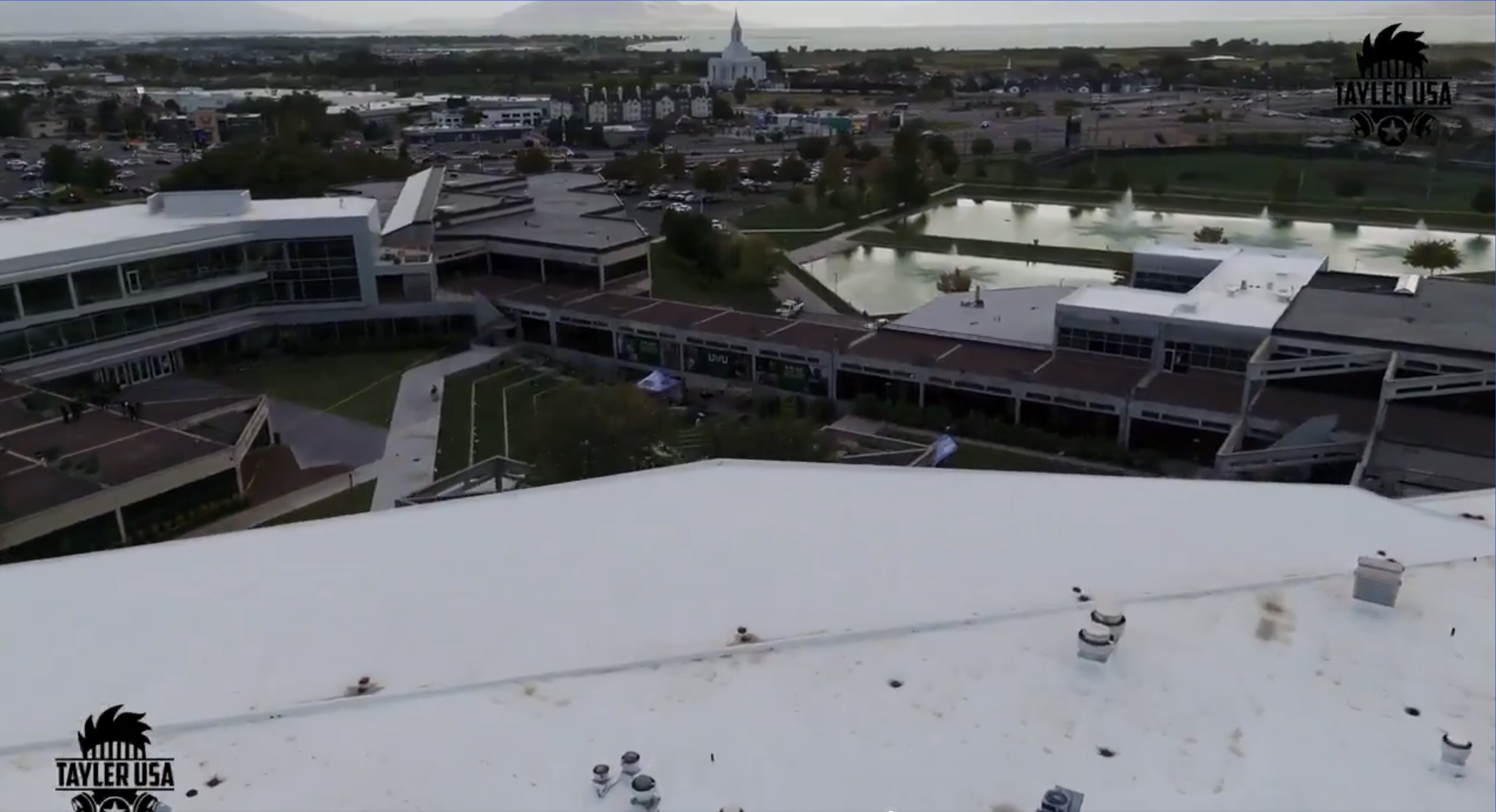
Unannotated Aerial of the UVU Campus
 Next Image
What This Image Shows
A high-angle aerial photograph of the campus with no annotations at all. The white sloped roof of the building the shot was taken from fills the foreground; low-rise modern academic buildings, courtyard pathways and a large reflecting pond with fountains occupy the middle distance; and a prominent white temple stands against the sprawl of the valley under hazy overcast sky, with the lake beyond.
This is the base image for the entire drop-off argument, shown before anyone has drawn on it. Every red callout and every line of banner text in the 2 Drop Off Spy Plane deck is overlaid on this same photograph.
Seeing it clean is worth doing deliberately. It lets a reader judge the distance from the courtyard to the open water for themselves, before a graphic tells them that distance is significant. The water researchers identify as a release point is roughly a mile out; the aircraft's reported low passes were over it, not over the crowd.
What the photograph cannot show is any aircraft, any drone, or any event. The claim built on it rests entirely on separate flight-tracking data.
See the annotated deck, N1098L Spy Plane, and Maps.
This website's author is @HolonCitizen on X and YouTube/@HolonCitizen. Follow me there.
Where This Image Appears
This image is used on the following investigation pages:
- Officer's Body Camera Died on the Roof (Claims)
- Img Photo 409bfe
- overview
- overview
- The Body Flown Out, and No Burial Site (Claims)