Tuba City Airport, Satellite View
 Next Image
What This Image Shows
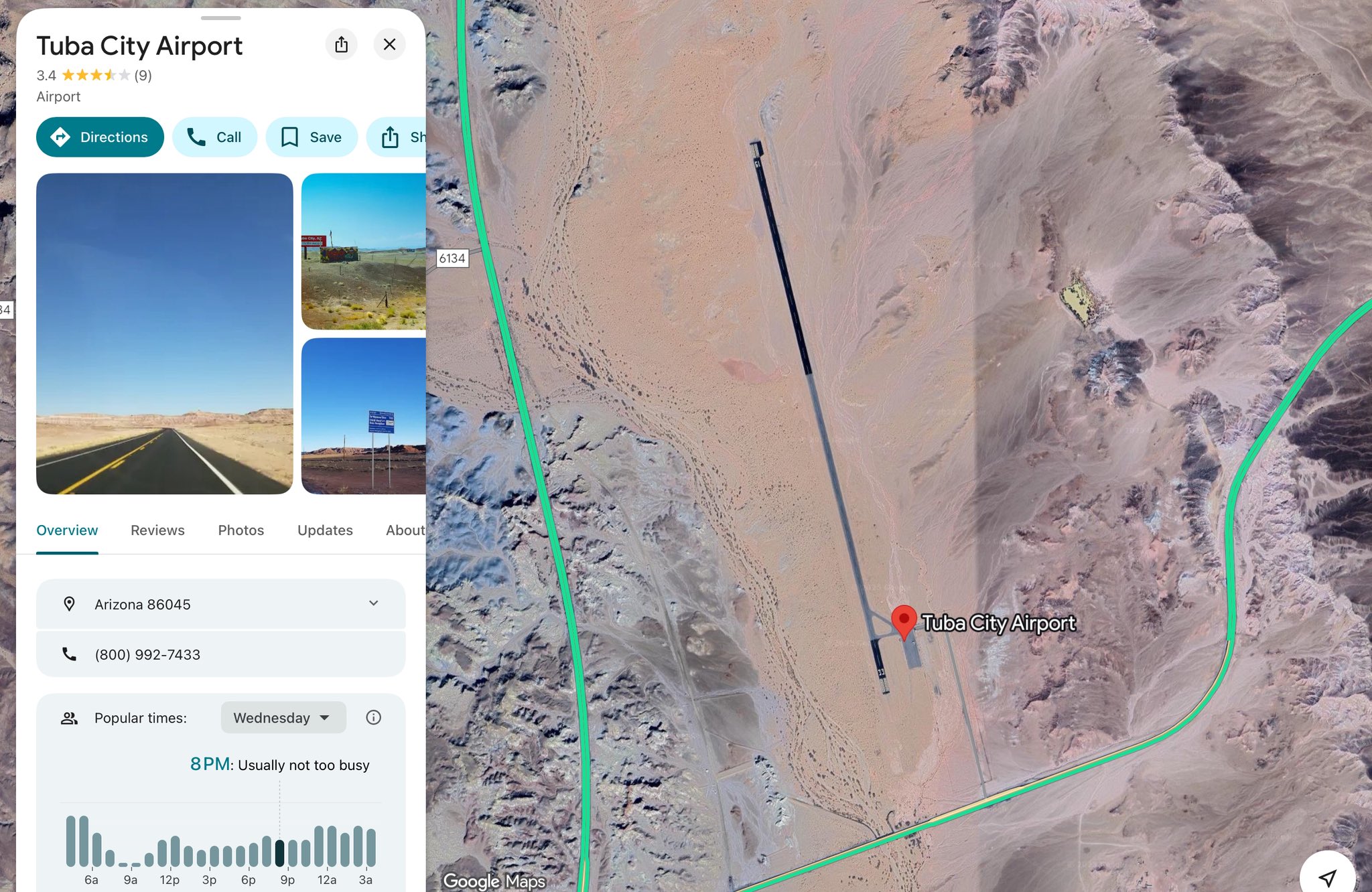
A second Google Maps capture of Tuba City Airport, this one on satellite view with the terrain and runway visible, alongside the same information card -- Arizona 86045, rated 3.4 from nine reviews, popular-times chart, phone number.
The satellite view adds what the road map cannot: the field is a single strip in open high desert with almost no supporting infrastructure. That is the physical fact underneath the "super-remote" characterization in the claim about where N888KG may have been heading.
It cuts both ways as proof. A strip like this would be unobserved, which is the poster's point. It would also be unlit, unstaffed and unattractive for a jet arrival, which is the counter-point. Nothing in the tracking record shows the aircraft landing here or anywhere else during the coverage gap, and no arrival at Tuba City has been documented.
See the road-map view on Photo 40, the flight claim on Photo 3, and N888KG.
This website's author is @HolonCitizen on X and YouTube/@HolonCitizen. Follow me there.
Where This Image Appears
This image is used on the following investigation pages:
- Provo Municipal Airport (PVU)
- Img Photo 781289
- overview
- Provo Airport Counter-UAS
- The Canon XA55 Audio and a Third Boom (Claims)
- UVU Campus Maps
- Factual Challenges — REMAINING UNFIXED ITEMS
Related Areas
- Cluster: Aircraft and Flight Records
- Section: Planes
- All photos: Photos