N888KG Flight Path Toward Tuba City
 Next Image
What This Image Shows
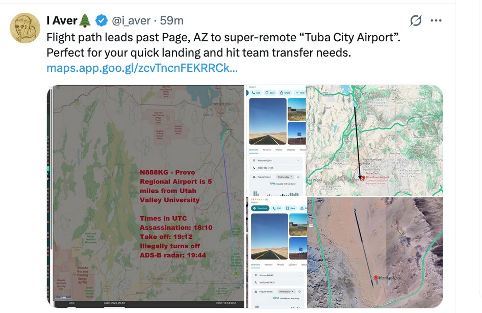
A screenshot of an X post by the account I Aver (@i_aver), combining a flight-tracking view with a Google Maps location card. The post reads: "Flight path leads past Page, AZ to super-remote 'Tuba City Airport'. Perfect for your quick landing and hit team transfer needs."
The overlaid timeline block gives the poster's reconstruction in UTC: "N888KG - Provo Regional Airport is 5 miles from Utah Valley University. Times in UTC. Assassination: 18:10. Take off: 19:12. Illegally turns off ADS-B radar: 19:44." Reading those against local time places the departure roughly an hour after the 12:23 PM MDT shooting, with the transponder dropping out about half an hour into the flight.
The checkable part is the ADS-B gap, which shows on public tracking data. Everything past that -- where the aircraft went during the gap, and who or what was aboard -- is inference. The "hit team" language is the poster's rhetoric, not a finding, and nothing has been produced tying any person to that aircraft. Researchers including MonkeyWerx have asked the FBI to interview the owner and pilots; there is no public record that this has happened.
The aircraft page is N888KG. For the day's other flights see Sept 10 Flight Timeline.
This website's author is @HolonCitizen on X and YouTube/@HolonCitizen. Follow me there.
Where This Image Appears
This image is used on the following investigation pages:
Related Areas
- Cluster: Aircraft and Flight Records
- Section: Planes
- All photos: Photos