Two-Minute Walk Between Two Wilmington Addresses
 Next Image
What This Image Shows
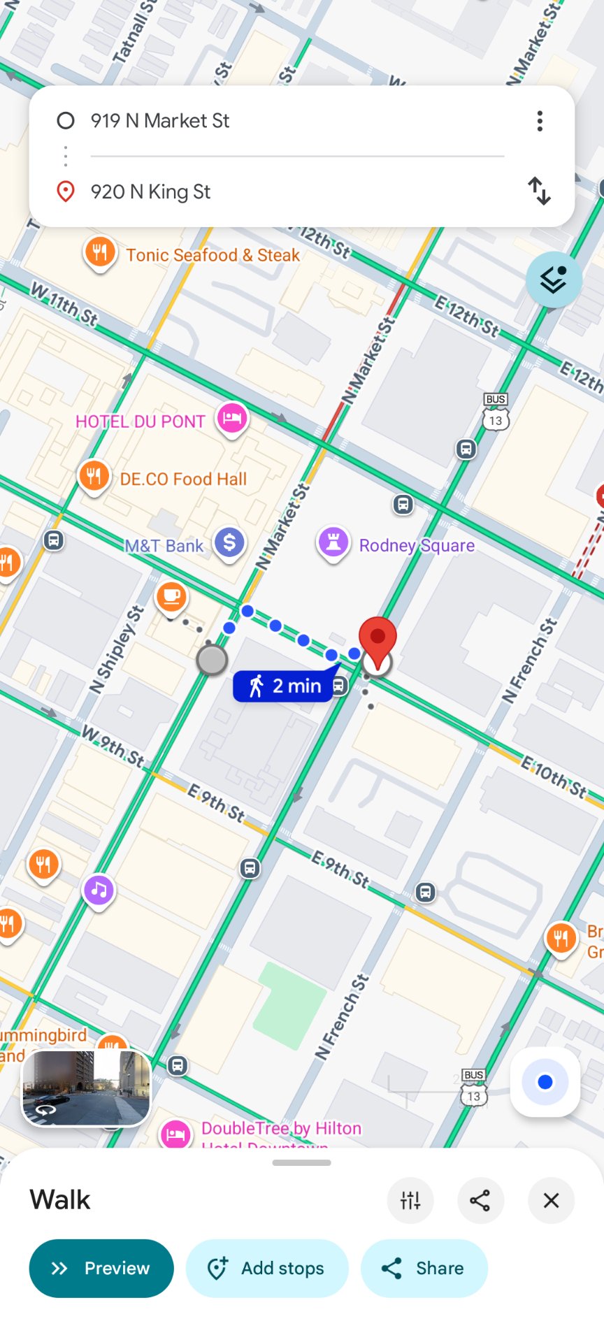
A Google Maps mobile capture showing a walking route in downtown Wilmington, Delaware, from 919 N Market St to 920 N King St, marked as a 2 min walk along a dotted blue path. Rodney Square, the Hotel du Pont, the DE.CO Food Hall, M&T Bank and a DoubleTree by Hilton are all visible on the surrounding grid.
The point of the capture is proximity. Two addresses that appear separately in the investigation's Wilmington notes turn out to be a two-minute walk apart, which is the kind of geographic detail researchers use to argue that separately reported entities occupy the same small downtown block.
It is worth being clear about how weak that inference is on its own. Downtown Wilmington is a dense, compact grid where a very large share of American corporate registrations are addressed, so almost any two addresses in that area will be minutes apart. Proximity here is a starting point for a question, not an answer to one, and no connection between the entities at these addresses and the events of September 10, 2025 has been established.
See the annotated map on Photo 76 and SU-BTT Israel/Egyptian Jet.
This website's author is @HolonCitizen on X and YouTube/@HolonCitizen. Follow me there.
Where This Image Appears
This image is used on the following investigation pages:
- Img Photo e7ffb3
- overview
- Egyptian Crew Hotel (Claims)
- The COO's Alleged Call to 'Pierre Du Pont' (Claims)
- UVU Campus Maps
- French Foreign Legion Claims
Related Areas
- Cluster: Aircraft and Flight Records
- Section: Planes
- All photos: Photos