Aerial Angle Measurement at Hall of Flags
 Next Image
What This Image Shows
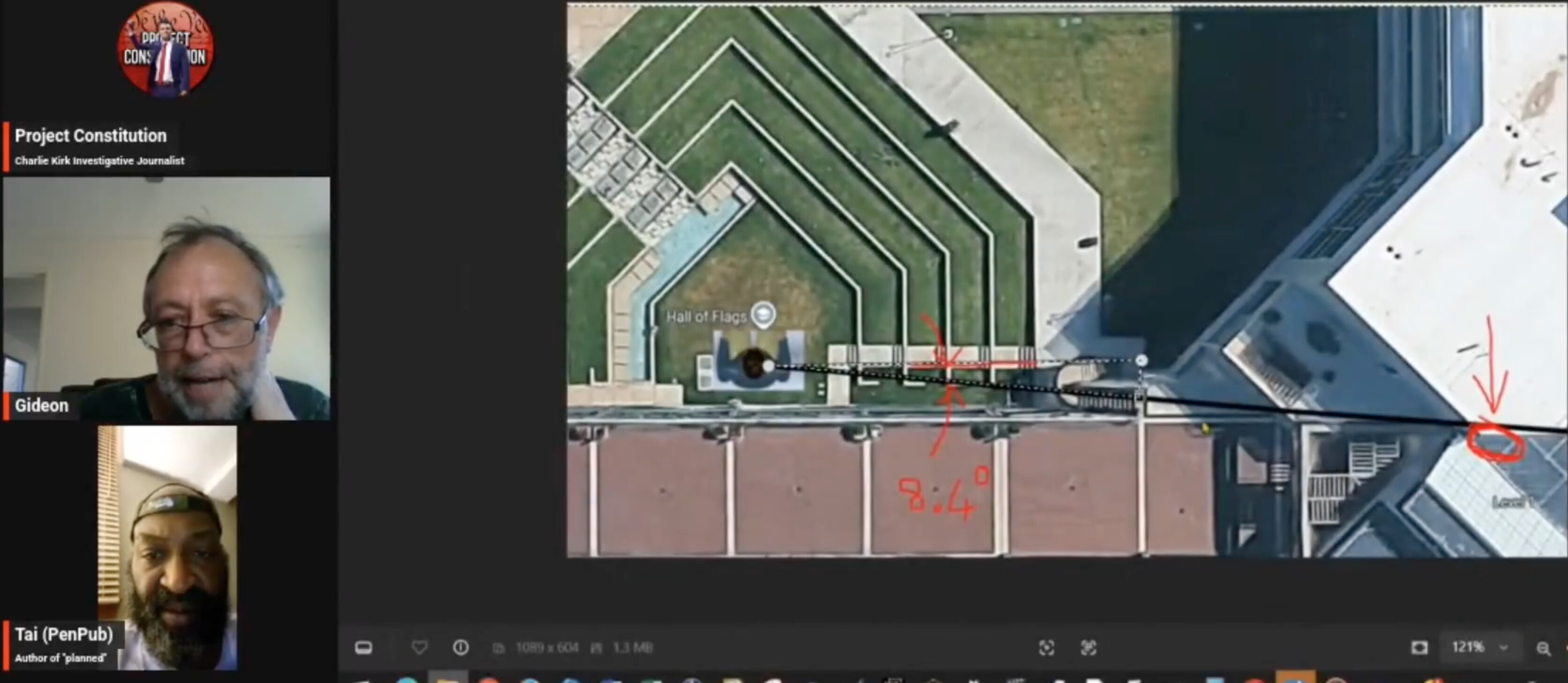
A livestream frame from the same Project Constitution discussion, with Gideon and Tai (PenPub) in the sidebar. The main window holds an aerial satellite view of the plaza, with a location marker reading Hall of Flags and a faint building label reading Level 1. Digital measurement lines and red handwritten annotations are drawn across it, including an angle written as 8.4 degrees.
That figure is the substance. Angles in this range are what the whole trajectory dispute is fought over: a shot from the rooftop in the official account arrives at a shallow downward angle over the distance involved, and the presenters are measuring the geometry on the map to test what that angle implies for where the sound and the impact originated.
An angle measured on an aerial map is a horizontal bearing, and converting it into a firing solution requires the elevations as well — which is what the CAD models elsewhere in this sub-cluster are for. Read it alongside Wound Trajectory Angle, Acoustic Two-Event Split, and Courtyard.
This website's author is @HolonCitizen on X and YouTube/@HolonCitizen. Follow me there.
Where This Image Appears
This image is used on the following investigation pages:
Related Areas
- Cluster: Acoustics Expert
- All photos: Photos
More In This Cluster
- Previous: Wireframe Model of Camera Sightlines
- Next: Acoustics Expert — Photo 3