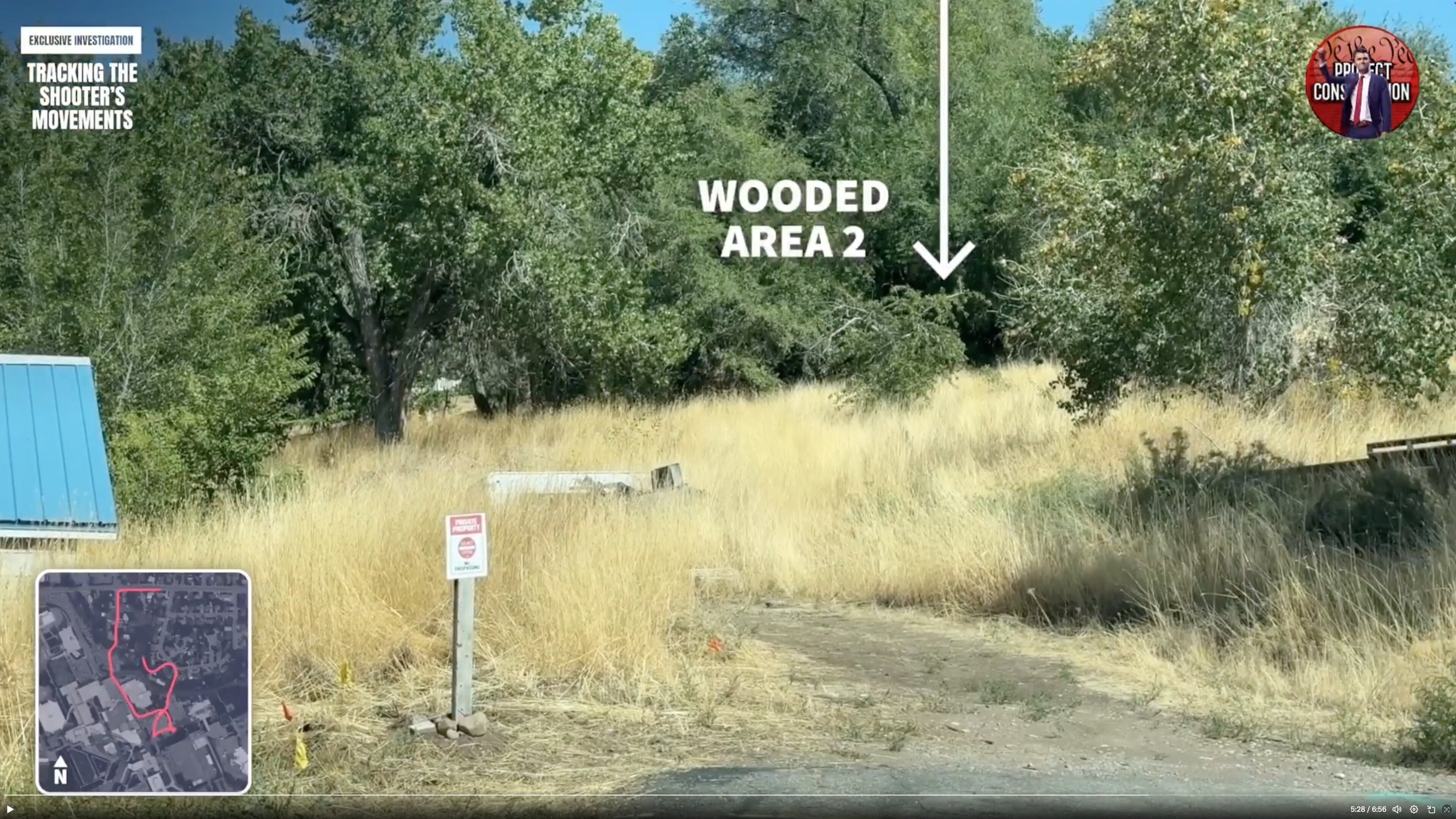
Broadcast Still: Wooded Area 2
 Next Image
What This Image Shows
A still from the same independent video investigation, showing a sunlit field of tall dry grass bordered by a dense line of trees. A large white label reads WOODED AREA 2 with an arrow pointing to the tree line, the header reads TRACKING THE SHOOTER'S MOVEMENTS, and an inset route map sits at the lower left. In the foreground a weathered post carries a white sign reading PRIVATE PROPERTY, NO TRESPASSING, and a building with a blue metal roof is visible at the far left.
The numbering is the point. The video identifies more than one wooded area along the route, and labels them, because the official account refers simply to a wooded area near the campus without specifying which — a level of imprecision that makes the recovery location impossible to verify from the public record.
The private property signage matters too: parts of the claimed route cross ground where any camera coverage would be privately owned rather than institutional, which affects what footage exists and who holds it. See Gun Dropped Location, Ring, and Gun Discovery Sequence.
This website's author is @HolonCitizen on X and YouTube/@HolonCitizen. Follow me there.
Where This Image Appears
This image is used on the following investigation pages:
- Gun & Bullet Analysis
- Wooded Area — Gun Recovery (North of UVU)
- Img Photo 3cf394 x
- overview
- overview
- Img Photo 3cf394
- overview
- overview
- overview
- Tyler Robinson
Related Areas
- Cluster: Drop Off Locations
- All photos: Photos