Aerial Still: Arrow Into the Vacant Lot
 Next Image
What This Image Shows
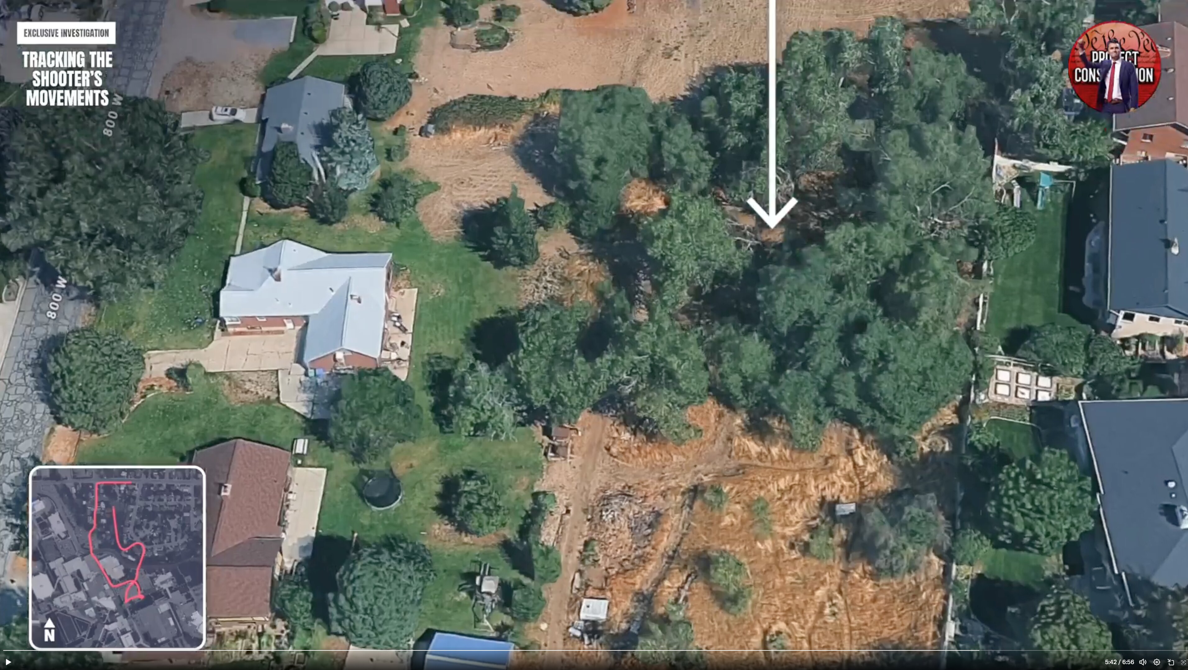
An oblique aerial view of the suburban neighbourhood taken from digital mapping imagery, integrated into the route video at five minutes forty-two. Houses with green lawns surround a central unkempt vacant lot of dense trees and dry golden grass. A large white arrow points down into those trees. The road is labelled 800 West, and the inset route map with its compass sits at the lower left.
The arrow identifies the wooded pocket itself rather than a street position, and the aerial view shows what a street-level photograph cannot: that this is an enclosed patch of overgrowth in the middle of a residential block, overlooked on several sides by houses, a shed, and a garden trampoline.
That is the geometry researchers keep returning to. A wooded area in this corridor is not remote ground; it is surrounded by homes. Who saw what, and what any nearby private camera recorded, is not in the public record. See Gun Dropped Location, Ring, and Walk Path.
This website's author is @HolonCitizen on X and YouTube/@HolonCitizen. Follow me there.
Where This Image Appears
This image is used on the following investigation pages:
- Img Photo 48c72b x
- overview
- overview
- Img Photo 48c72b
- overview
- overview
- overview
- Possible Shooter Locations
Related Areas
- Cluster: Drop Off Locations
- All photos: Photos
More In This Cluster
- Previous: Broadcast Still: Wooded Area 3
- Next: Drop Off Locations — Photo 15