Broadcast Still: Houses on the Slope
 Next Image
What This Image Shows
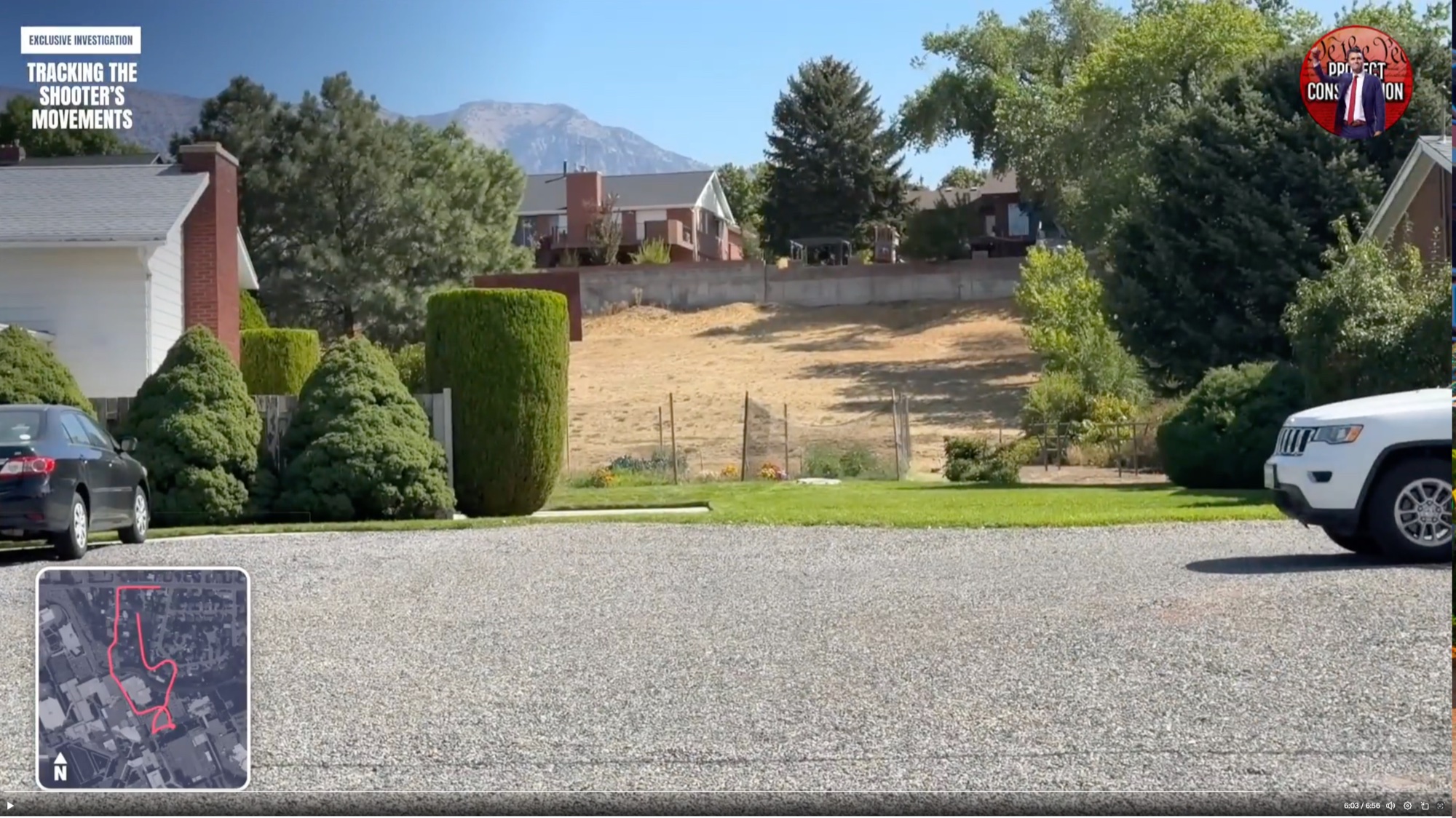
A wide daytime frame from the route video, six minutes into a nearly seven-minute piece. A gravel driveway runs across the foreground past manicured lawns, sculpted hedges, a dark sedan and a white SUV, up to houses set on a dry sloping hill, with a mountain peak behind under clear sky. The header graphics and the inset route map with a pink trail are in place as before.
The position in the video matters: this is near the end of the reconstruction, at the far end of the claimed route from the campus.
What the frame shows plainly is ordinary residential ground — driveways, parked cars, hedges — which is the point researchers keep making about this route. A person walking it in daylight would be visible to residents, to doorbell cameras, and to passing traffic, and the absence of a published witness and camera reconstruction of that walk is what the questions turn on. See Gun Dropped Location, Ring, and Merchant and Travel CCTV.
This website's author is @HolonCitizen on X and YouTube/@HolonCitizen. Follow me there.
Related Areas
- Cluster: Drop Off Locations
- All photos: Photos
More In This Cluster
- Previous: Aerial Route Still Near the ROTC Building
- Next: gettyimages AFP