Aerial Route Still Near the ROTC Building
 Next Image
What This Image Shows
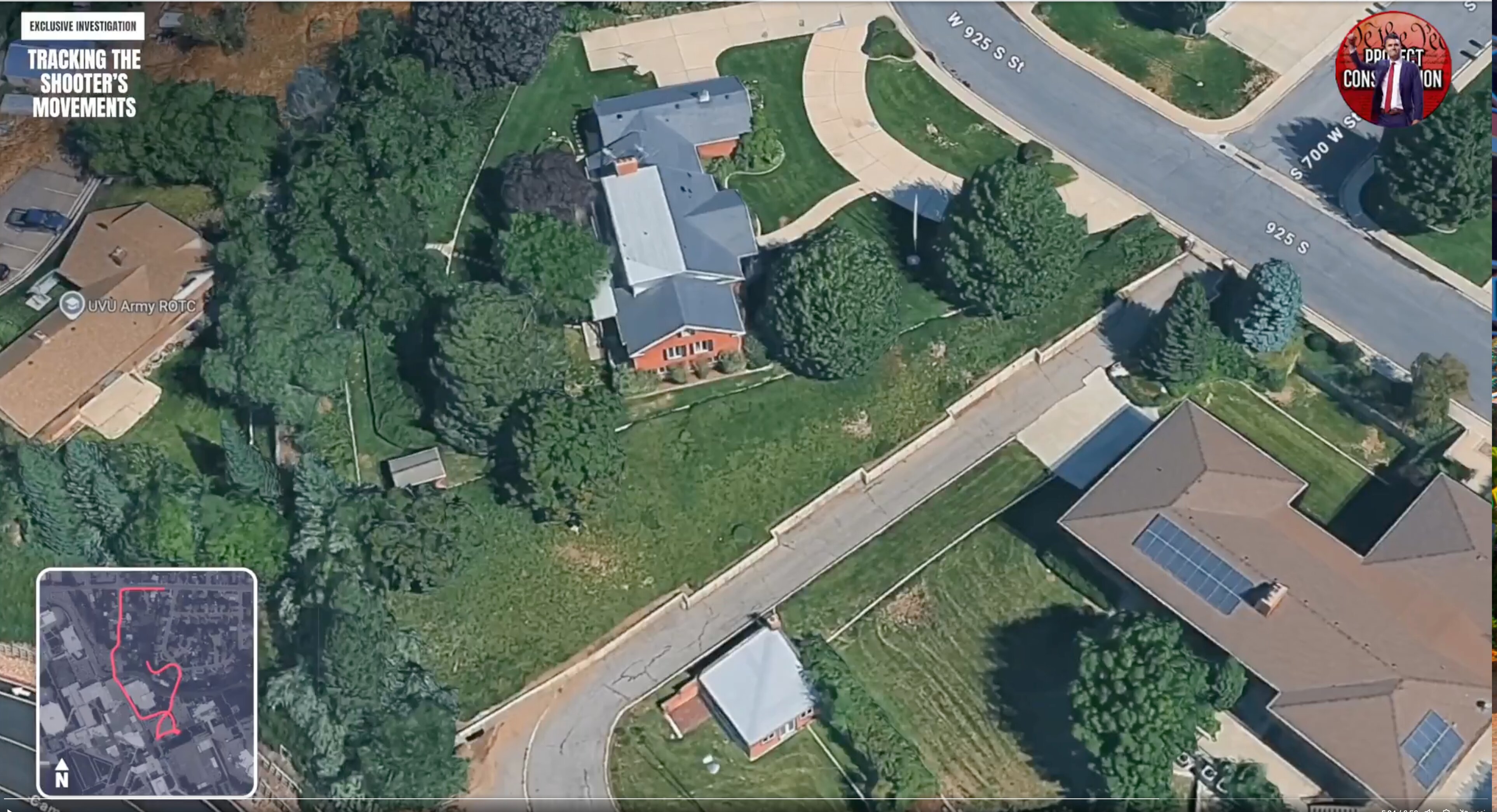
An oblique aerial satellite render of the suburban neighbourhood, overlaid with the same broadcast graphics — EXCLUSIVE INVESTIGATION, TRACKING THE SHOOTER'S MOVEMENTS, and the We the People Project Constitution logo. Map labels read UVU Army ROTC, West 925 South Street, South 700 West Street, and 925 South. An inset at the lower left shows the route as a red line with a compass rose.
The inset is the thing to read. It draws the claimed path as a continuous line rather than as a set of points, which is more than the public record does — the official account gives a rooftop, a wooded area, and a car park, without a published reconstruction between them.
The ROTC building appears again in the Walk Path aerials and in the gun drop area map, where it is boxed alongside the Center for National Security Studies. Whether the route running past those facilities means anything is not established. See Gun Dropped Location and CIA and UVU Profiles.
This website's author is @HolonCitizen on X and YouTube/@HolonCitizen. Follow me there.
Where This Image Appears
This image is used on the following investigation pages:
- Img Photo dbec62 x
- overview
- overview
- Img Photo dbec62
- overview
- overview
- overview
- Possible Shooter Locations
Related Areas
- Cluster: Drop Off Locations
- All photos: Photos
More In This Cluster
- Previous: Overhead View of the UVU Campus Plaza
- Next: Drop Off Locations — Photo 11