Drop Off Locations — Photos
Photos filed under Drop Off Locations — 17 images on this page. Scan the list and open any image for the full picture and its write-up.
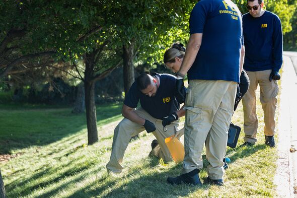
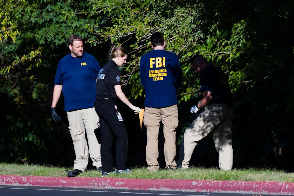
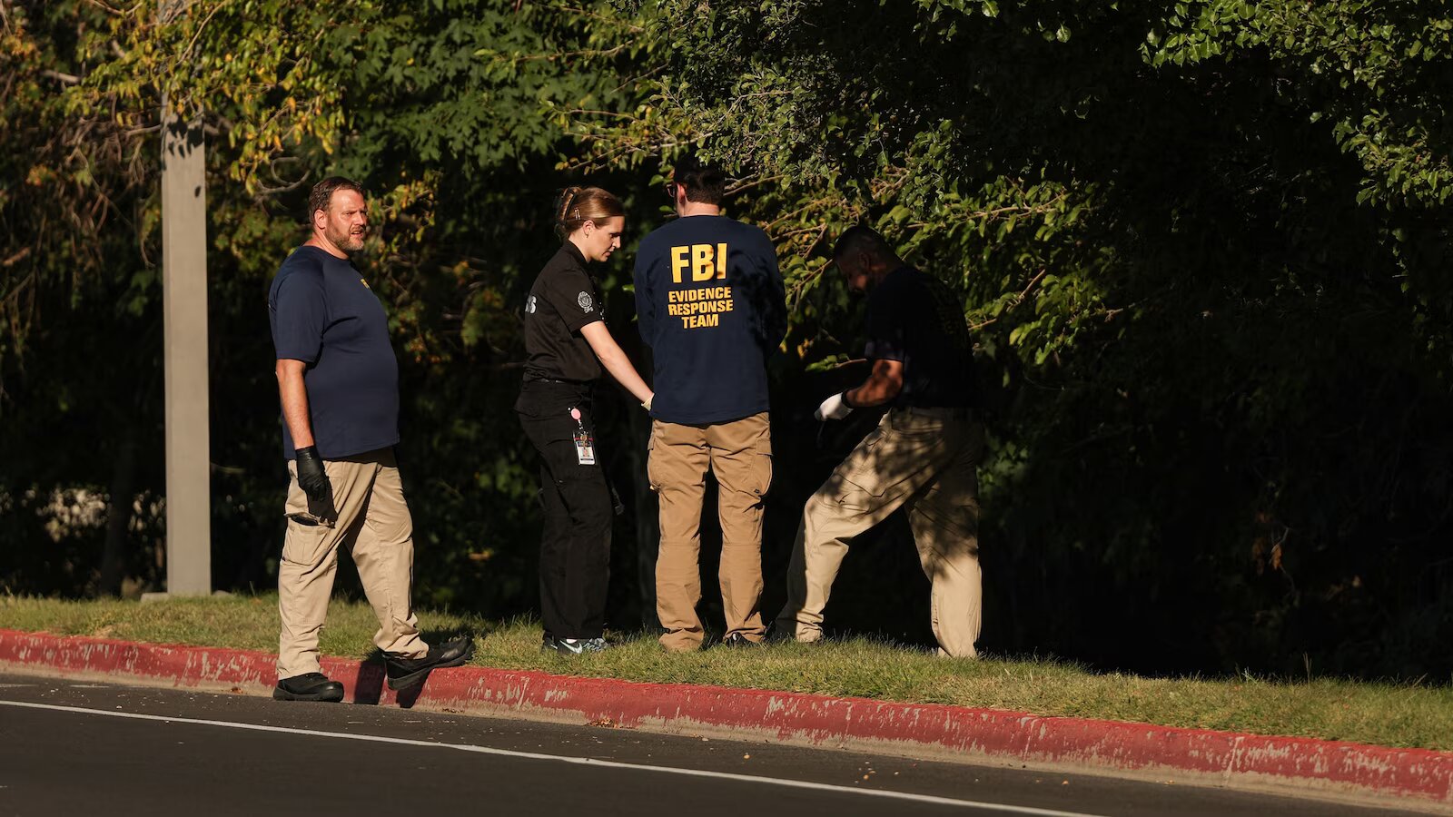
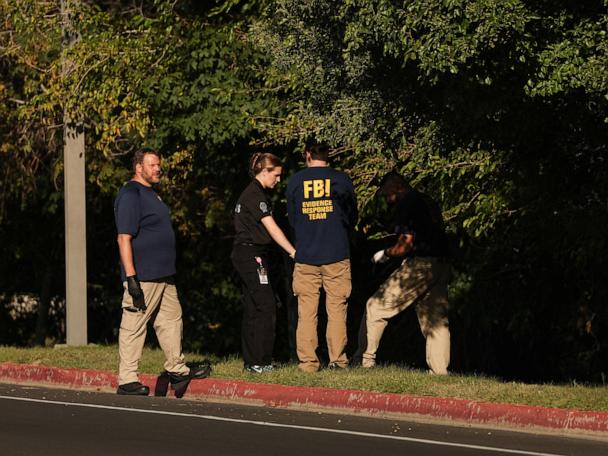
- FBI Team Searching the Roadside Slope
- Numbered Marker 8 on the Grass Verge
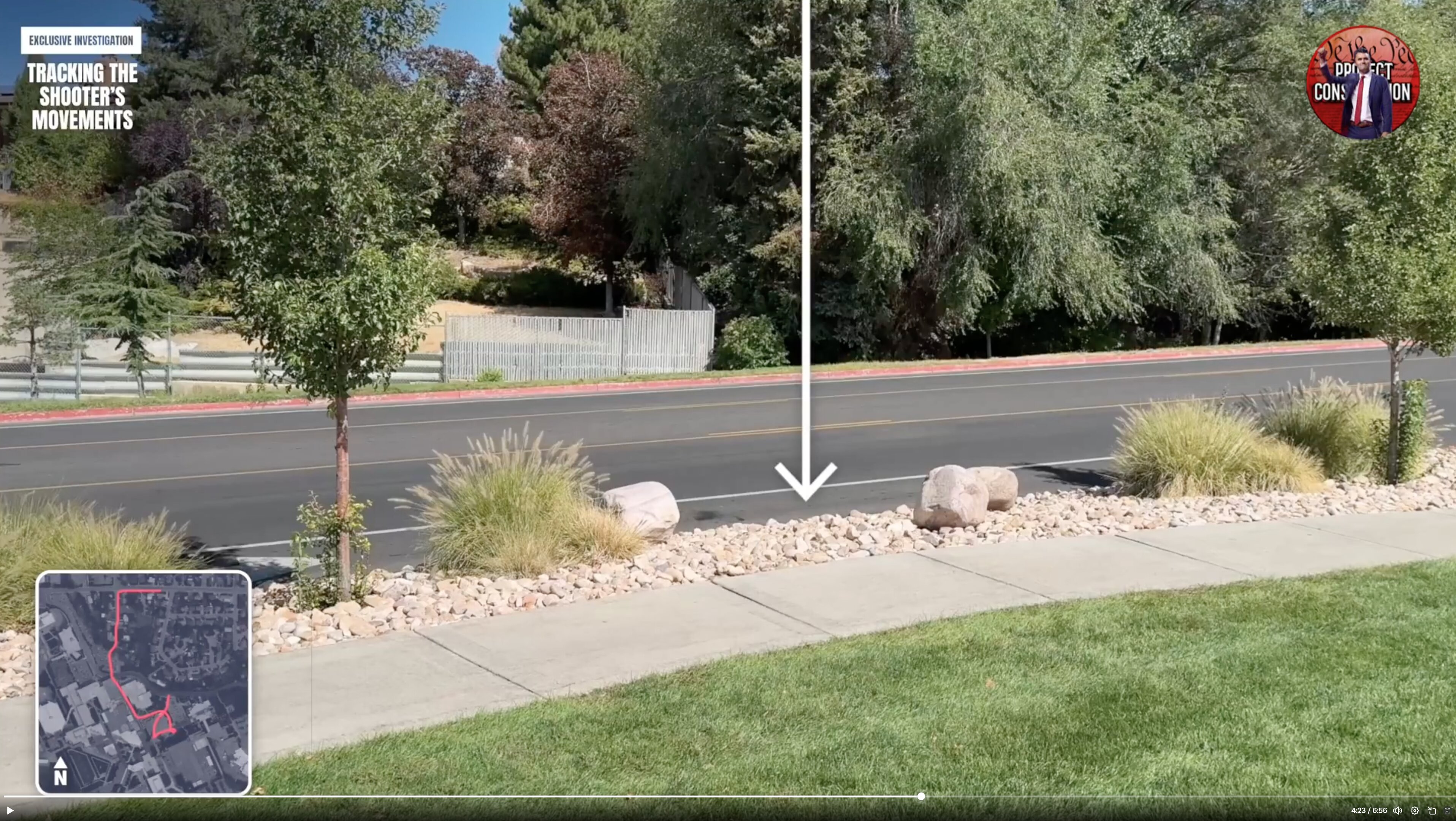
- Broadcast Still: Arrow to the Road Shoulder
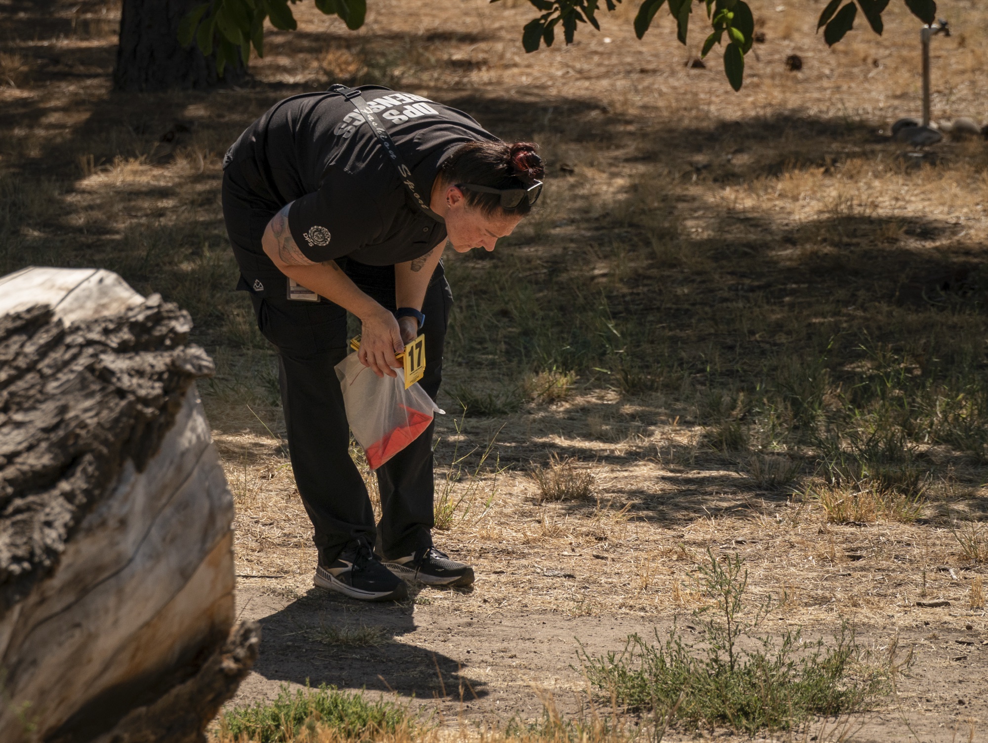
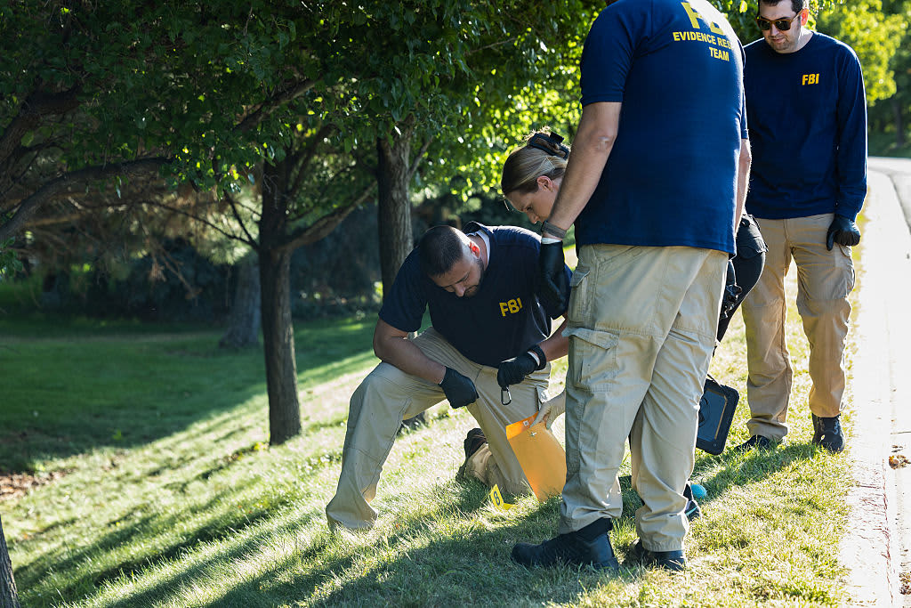
- Placing a Yellow Marker at the Tree Line
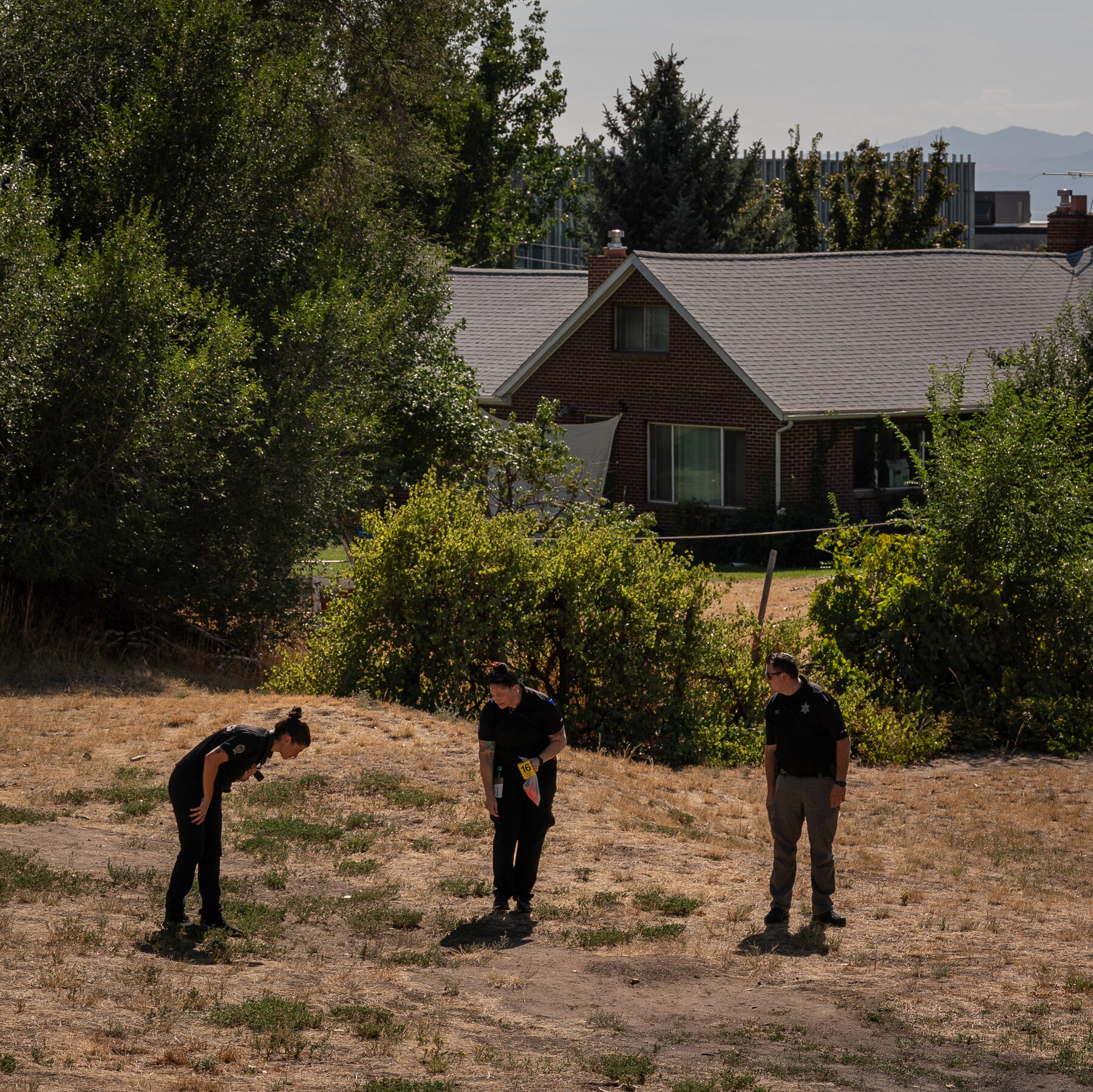
- Bagging Marker 16 Near a House
- Agents at the Wooded Roadside, Late Afternoon
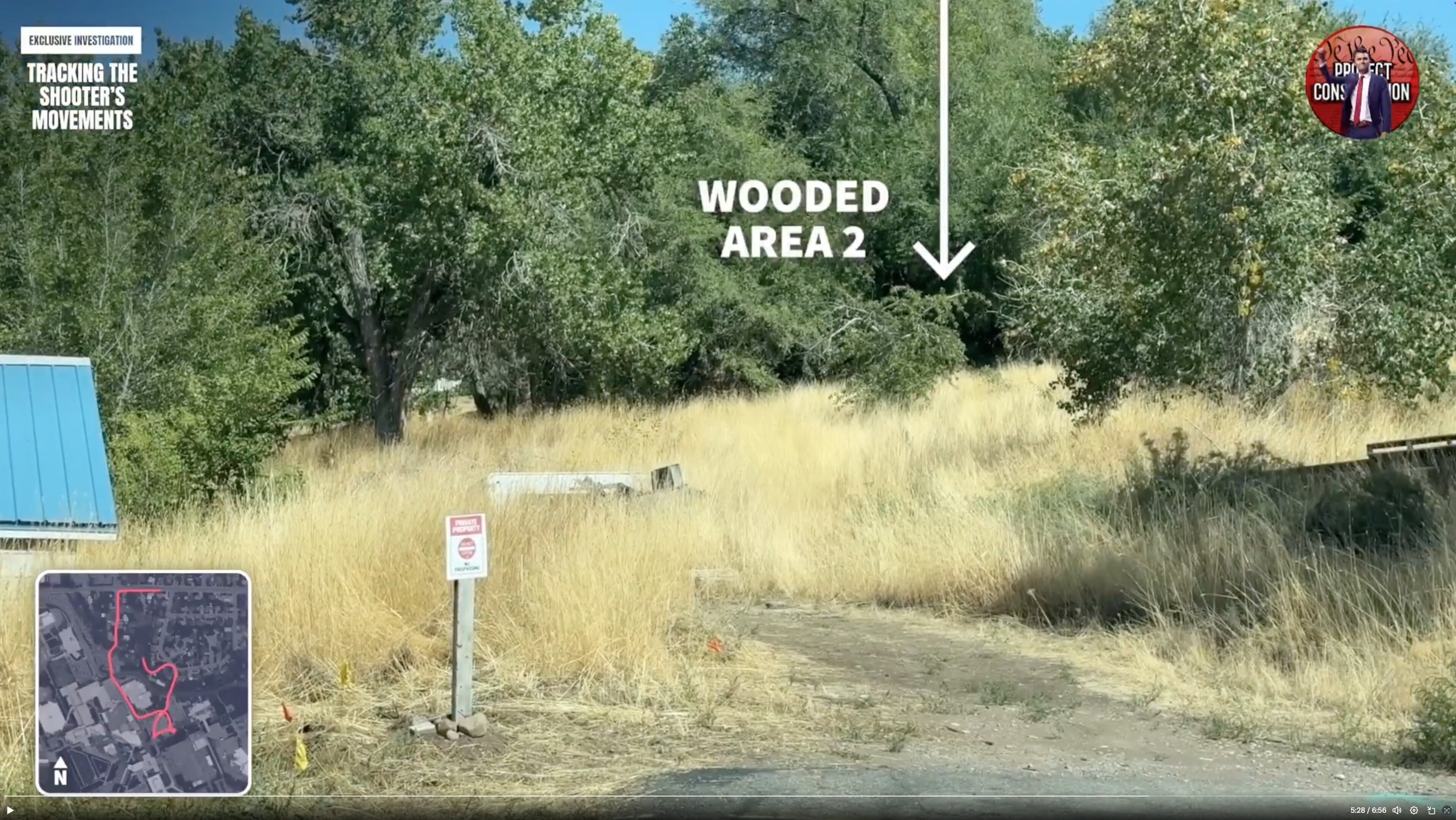
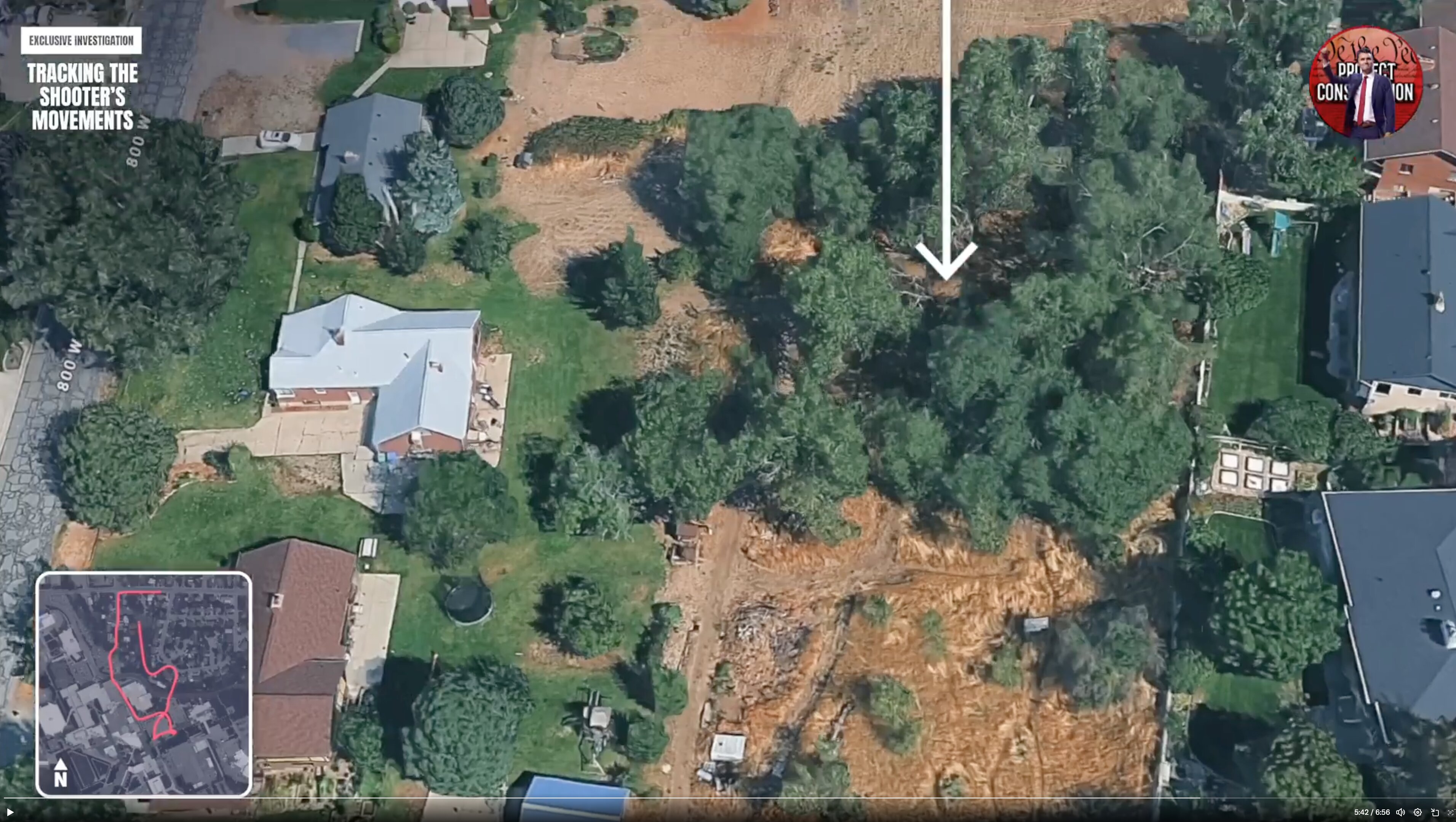
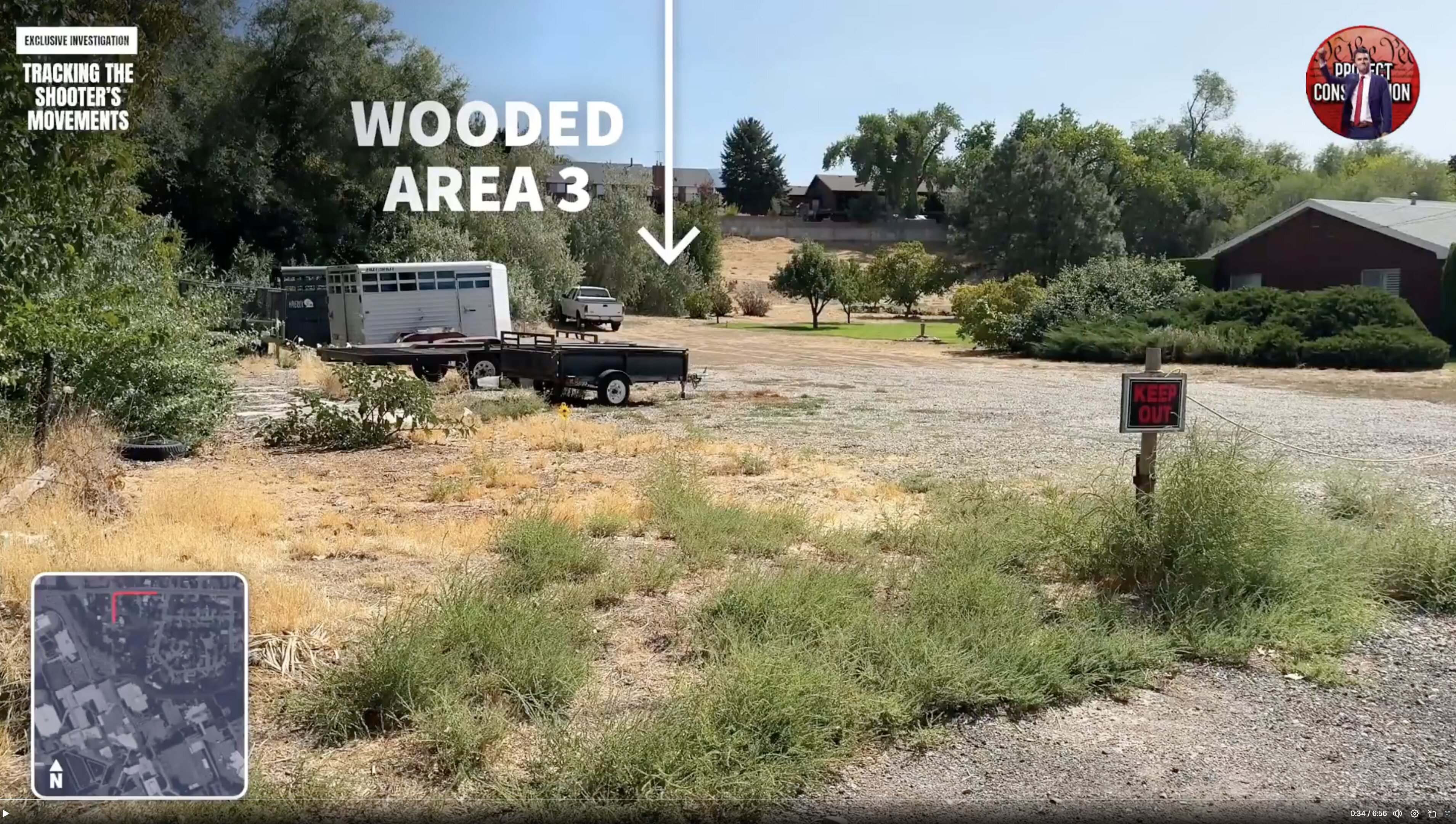
- Broadcast Still: Wooded Area 2
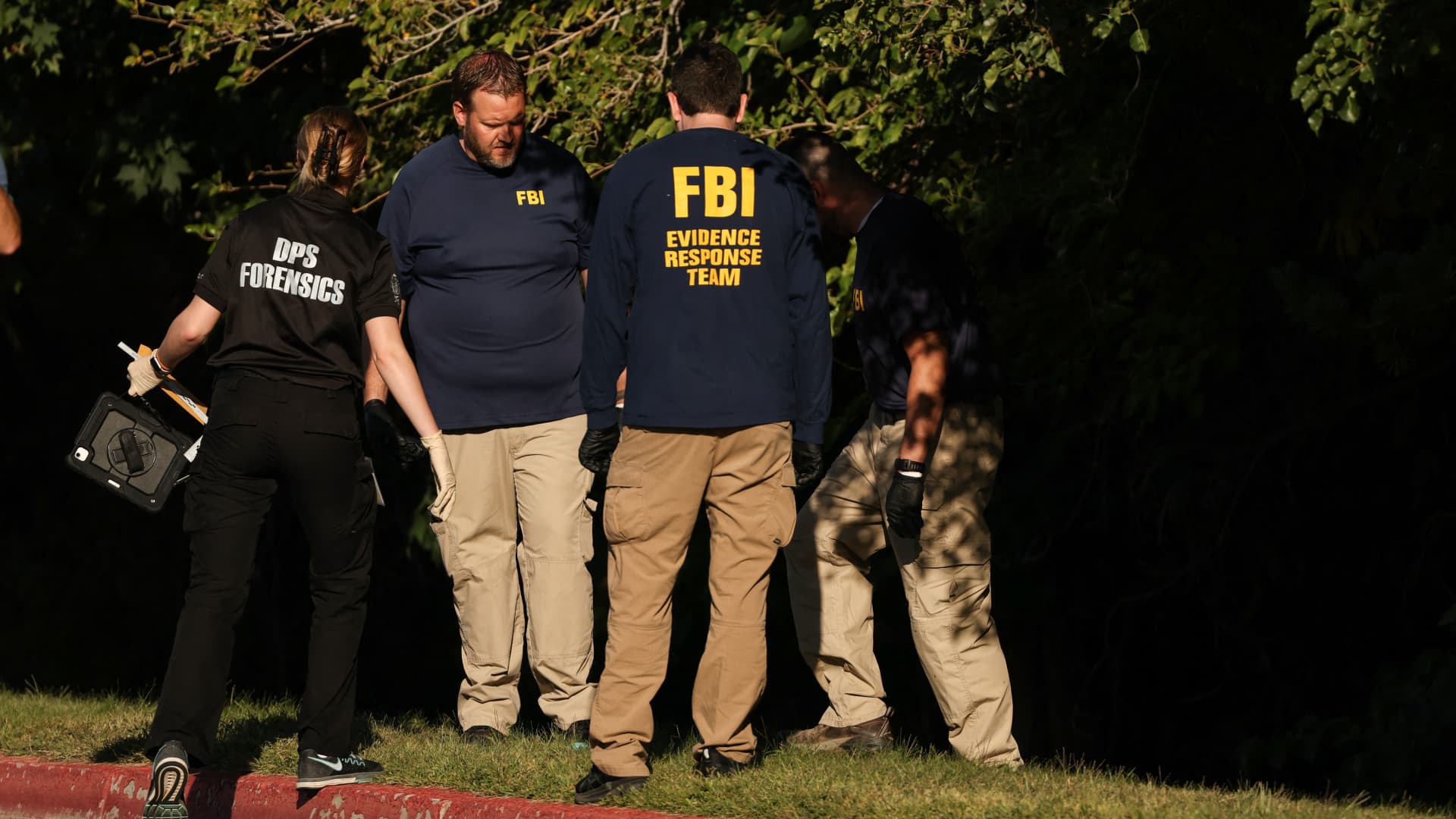
- FBI Team at the Foliage Edge
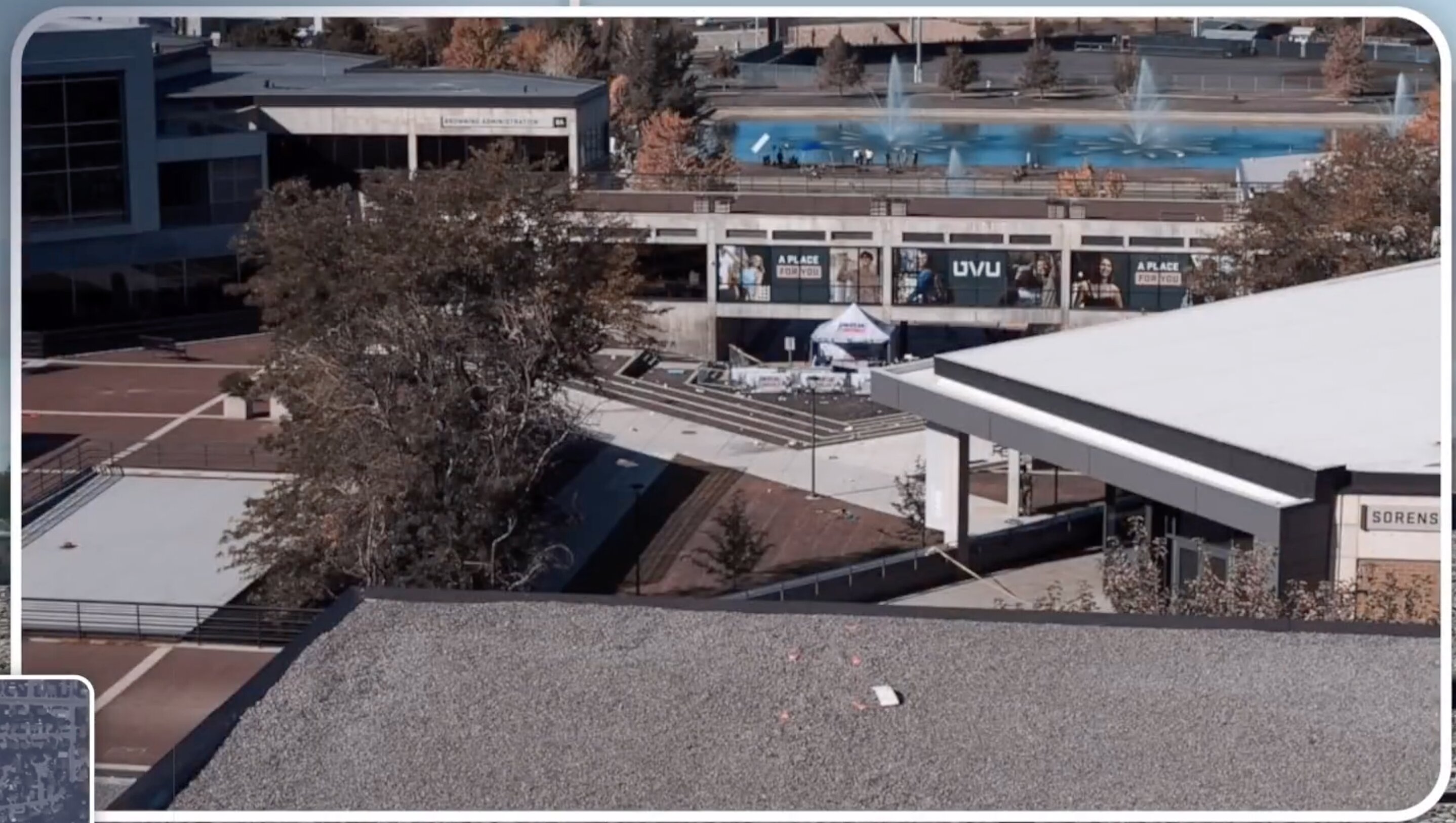
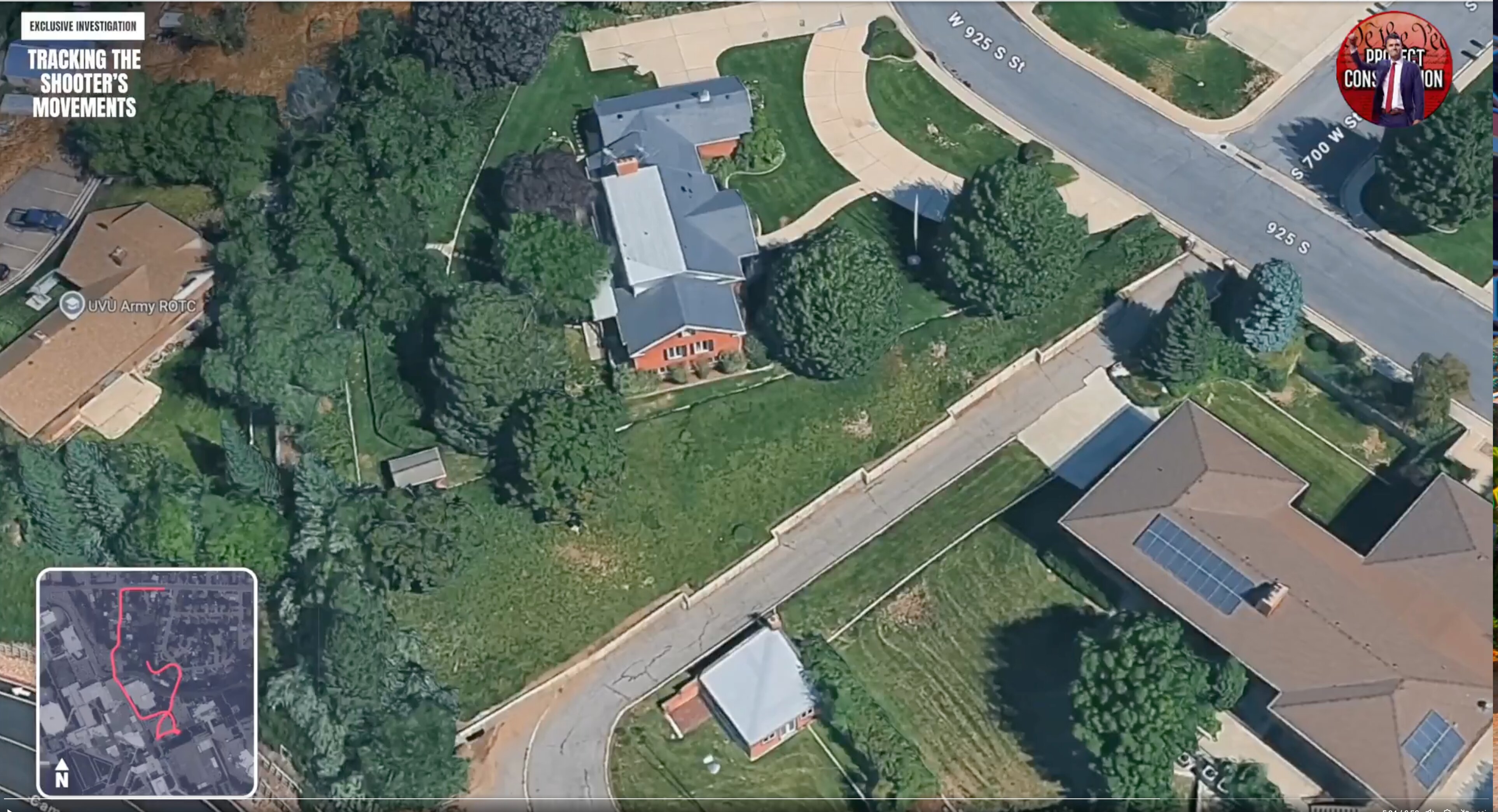
- Overhead View of the UVU Campus Plaza
About This Cluster
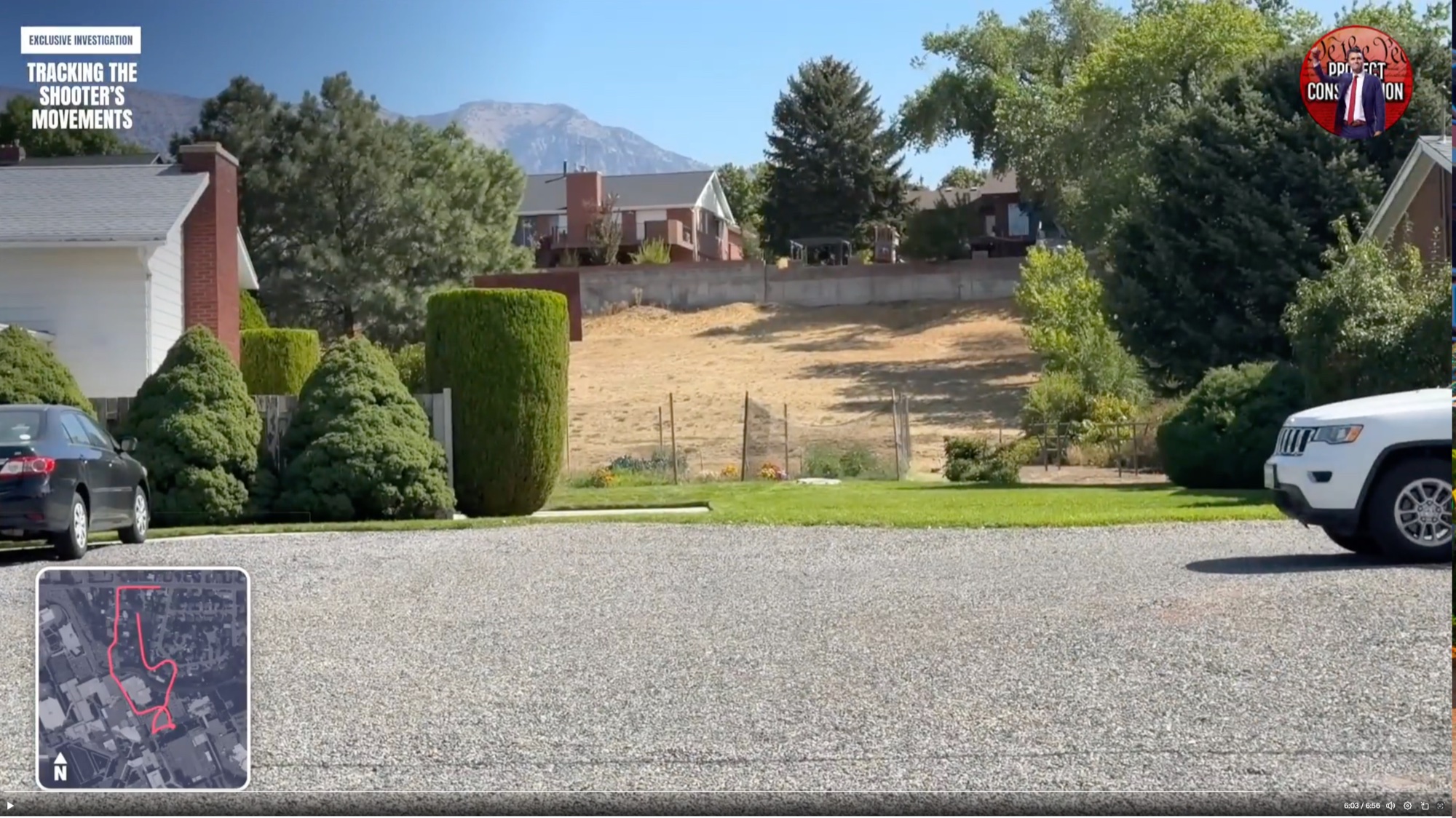
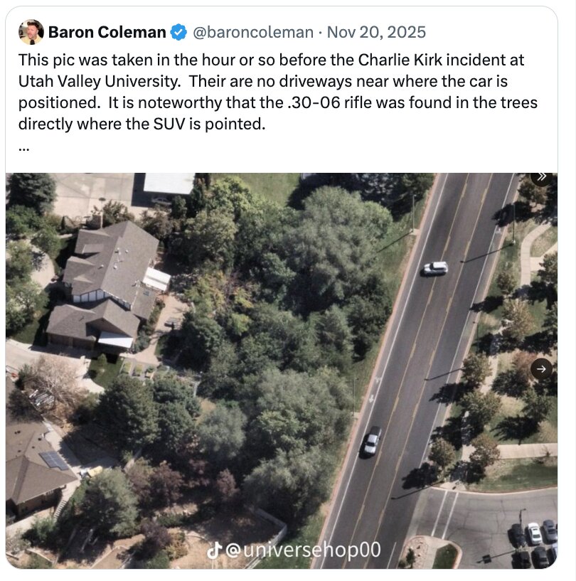
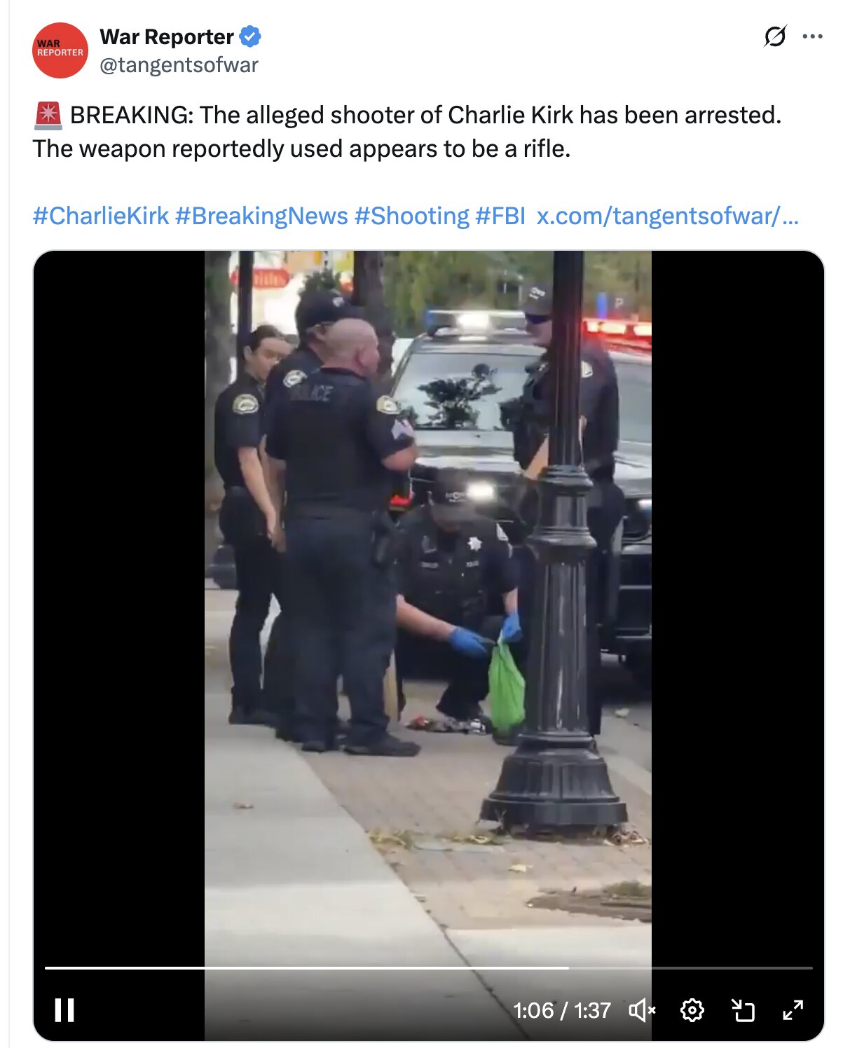
This cluster gathers the news photographs, release frames, and map screenshots tied to where the rifle in the Charlie Kirk case was reportedly abandoned. The official account has the shooter fleeing the Losee Center roof and the Mauser .30-06 recovered from a wooded area north of the UVU campus, reportedly wrapped in a dark towel. Getty, AFP, and network imagery of the recovery scene sits here beside citizen screenshots mapping the spot and the buildings around it.
The location itself is the open question. A June 2026 post by @MuppetMasher points out the buildings on either side of the reported drop point and asks why the official timeline states the suspect parked at UVU at 8:29 a.m. but never says when he left the parking lot — arguing that cell-tower data should make his path precise, and calling the gaps "convenient." Researchers have also questioned how the towel-wrapped rifle, the flight path over the roof edge, and the wooded-area recovery fit together into one continuous route. These are the posters' questions, reported here with attribution; the official recovery account stands as the narrative under test.
Open the aerial and street-level frames first to fix the geography, then the recovery-scene photographs. The full written treatment is at Gun Dropped Location, with the weapon details at Mauser .30-06 Rifle and the suspect-route questions continued in the FBI Walk Path photo cluster.
This website's author is @HolonCitizen on X and YouTube/@HolonCitizen. Follow me there.
Related Areas
- Up: Ballistics and the Gun
- All photos: Photos
Peer clusters: Acoustics Expert · Inscribed Cartridges From a Separate Shooting · Mauser Model 98 · Gun Dropped Location — Photo 1 · .30-06 Energy Mismatch · Wound Trajectory & Angle — Photo 1 · Barrel Dust & Bullet Diameter — Photo 1 · The Engraved Bullets in a Towel — Why the Story Does Not Hold — Photo 1 · Rifle Site — White Kia Soul Turnaround (Claims) — Photo 1