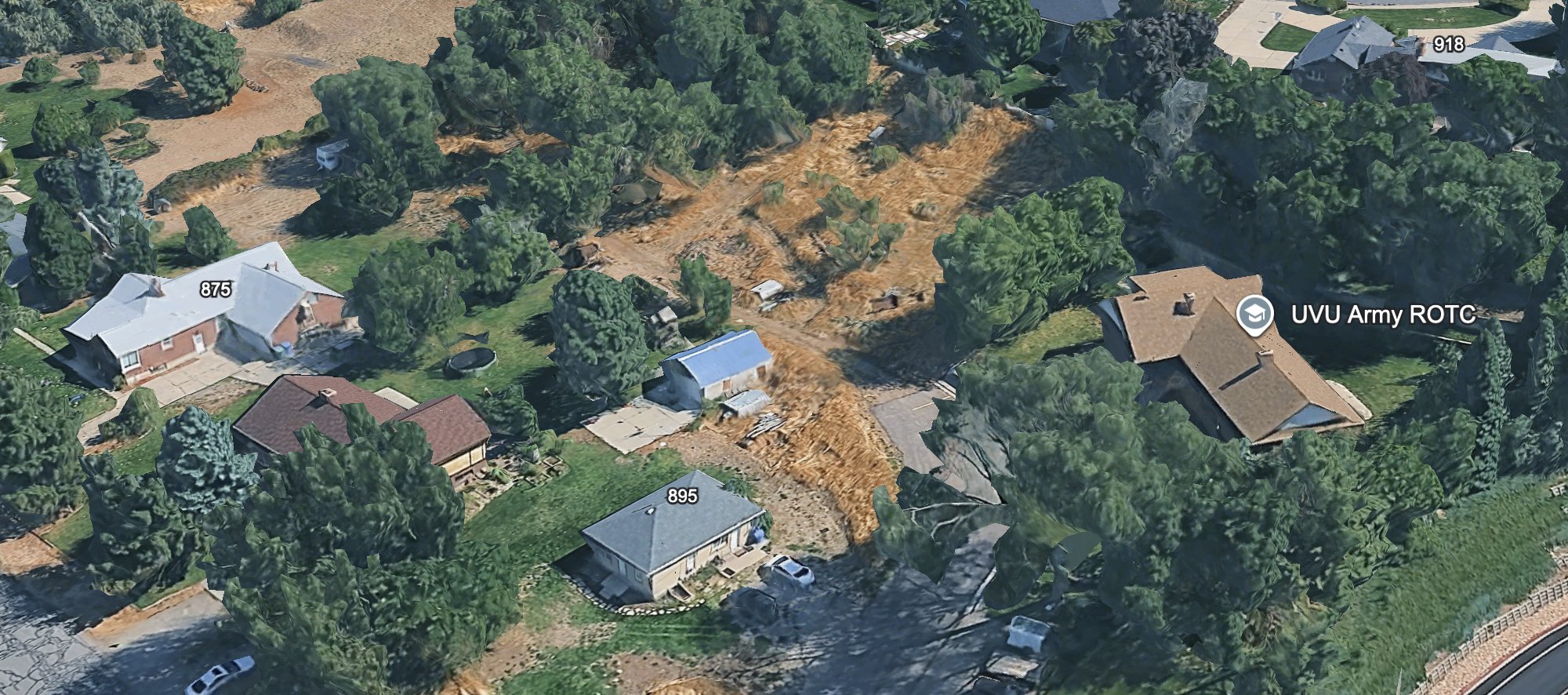
Aerial Map With House Numbers 875 to 918
 Next Image
What This Image Shows
An oblique aerial render of the suburban neighbourhood beside the campus, with dense patches of trees and dry dirt fields between the houses. Three individual homes carry overlay labels — 875, 895, and 918 — and a map pin marks the UVU Army ROTC building.
Labelling individual addresses rather than streets is what makes this map a working document. Whoever built it was tracking specific properties along the route, which is how a reconstruction gets tested: identify the houses a person would pass, then ask what each one's occupants or cameras would have recorded.
That is the check the public record does not contain. No doorbell-camera or witness reconstruction of the walk has been released, and one of the properties along the route has drawn separate attention in the investigation notes for an unrelated reason. Nothing on this page asserts anything about any resident. The route material is at Gun Dropped Location, Ring, and Gun Discovery Sequence.
This website's author is @HolonCitizen on X and YouTube/@HolonCitizen. Follow me there.
Where This Image Appears
This image is used on the following investigation pages:
- 10 in. of dirt removed
- Wound Trajectory & Angle
- Img YgMoWXUAAGXNO dc26c9
- overview
- overview
- Biggs Army Airfield (KBIF)
- 10 Inches of Dirt Removed Before the Pavers
Related Areas
More In This Cluster
- Previous: Belongings Scattered on a Grass Plot
- Next: Walk Path — Photo 7