Google Maps Overhead of the Full UVU Campus
 Next Image
What This Image Shows
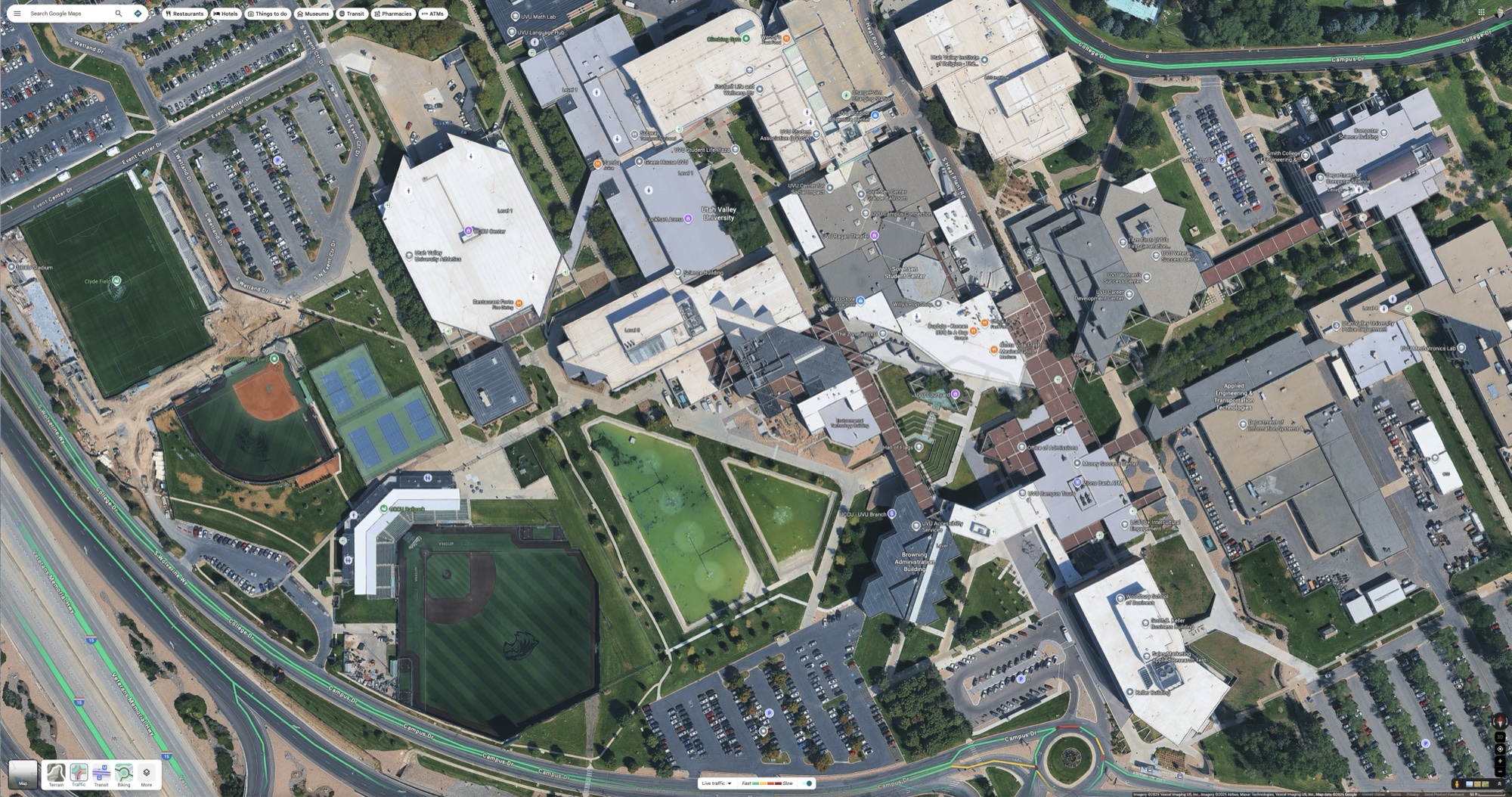
A high-altitude Google Maps capture of the whole Utah Valley University campus in Orem, Utah, with the map interface still visible - search bar, category filters, street labels and navigation widgets. Clyde Field, the softball diamond, the tennis courts, the large parking areas and the building blocks are all in frame.
There are no investigative annotations on this one. It is the unmarked base plate, and it is here for exactly that reason: every other map in this cluster is somebody's argument drawn on top of imagery like this, and it helps to have the clean version to check them against. Labels, arrows and route lines can be moved a hundred feet without a casual reader noticing.
Use it to verify the relative placement of the courtyard, the Losee Center, the parking structure and Campus Drive before accepting any of the annotated reconstructions. Then go to the marked-up versions in Maps and Site Geometry, and to the written analysis in Maps, UVU Maps and UVU.
This website's author is @HolonCitizen on X and YouTube/@HolonCitizen. Follow me there.
Related Areas
- Cluster: Maps and Site Geometry
- Section: Maps
- All photos: Photos
More In This Cluster
- Previous: Fox News Digital Map of Suspect Movements
- Next: CourtYard Empty