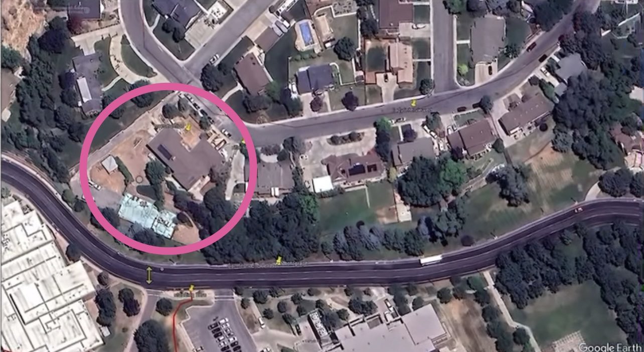
Google Earth View of a Circled Residential Property
 Next Image
What This Image Shows
A top-down Google Earth capture of a suburban residential block that backs onto a multi-lane road and a set of commercial or institutional parking lots. A thick pink circle has been drawn by hand around one property on the left of the frame - a house with a dark gabled roof, bare dirt yard areas and a light blue-roofed outbuilding beside it.
The only on-screen text is the Google Earth attribution in the corner. Everything else about the image is the annotation: someone wanted a specific address looked at, and circled it without writing why on the face of the graphic. Images of this kind circulate constantly in open-source investigation threads, and they are only as good as the sourcing that travels with them, which in this case did not survive the repost chain.
The site publishes it as part of the record of what was being circulated, not as an indication that anyone at that address is connected to anything. No occupant is named here and no claim is made about any resident. Address-level threads that do have documentation behind them are handled on Locations, and the campus-adjacent geography is covered by Maps and Site Geometry and Maps.
This website's author is @HolonCitizen on X and YouTube/@HolonCitizen. Follow me there.
Where This Image Appears
This image is used on the following investigation pages:
Related Areas
- Cluster: Maps and Site Geometry
- Section: Maps
- All photos: Photos
More In This Cluster
- Previous: Camera Positions Around the UVU Courtyard
- Next: kirk shooting spatial index