3D Google Maps View of the Browning Building
 Next Image
What This Image Shows
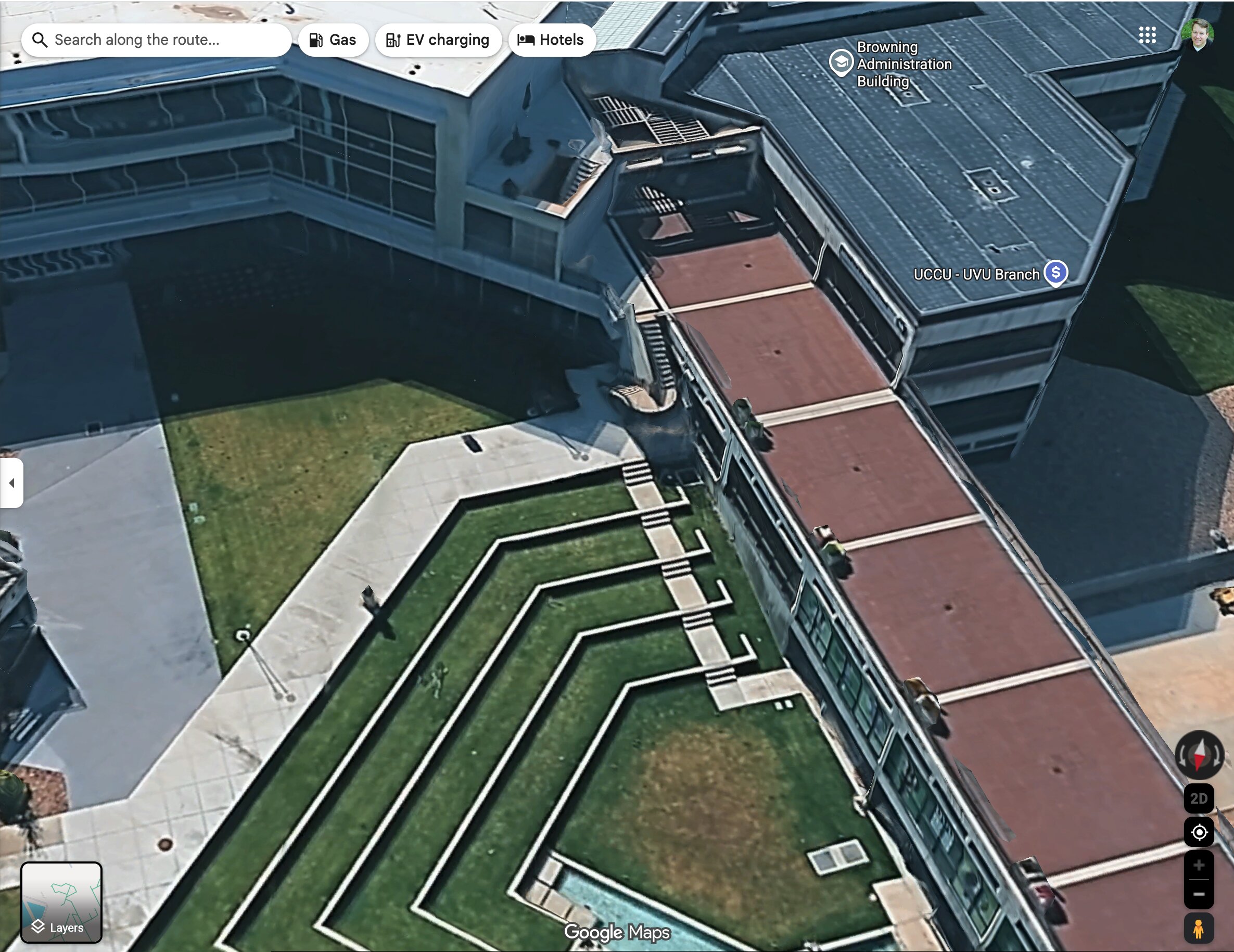
A screenshot of the Google Maps 3D aerial view looking down on part of the UVU campus. The photogrammetry render shows the angular concrete and glass buildings, the hard shadow one of them casts across the plaza, and the terraced geometric grass steps of the courtyard.
The map labels identify the Browning Administration Building and the UCCU - UVU Branch. Those two names anchor the west side of the courtyard, and they recur throughout this cluster as reference points in route maps and sightline diagrams. Because the render is built from photogrammetry rather than a flat satellite pass, roof heights and parapet edges are approximated by the software, so any measurement taken off it should be treated as indicative rather than surveyed.
That caveat matters for the rooftop arguments in this case. Several of the reconstructions in this cluster take elevations from renders of exactly this kind. Read it with Maps and Site Geometry, Losee Center, Courtyard and UVU Maps.
This website's author is @HolonCitizen on X and YouTube/@HolonCitizen. Follow me there.
Where This Image Appears
This image is used on the following investigation pages:
Related Areas
- Cluster: Maps and Site Geometry
- Section: Maps
- All photos: Photos