Satellite View of a Circled Property
 Next Image
What This Image Shows
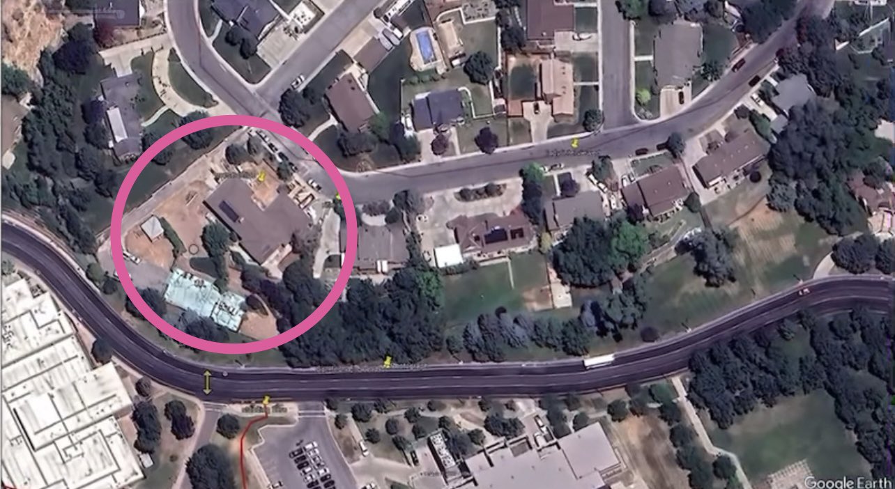
A Google Earth satellite capture of a suburban neighbourhood, a winding multi-lane highway crossing the lower third, houses and dense tree cover filling the rest. A thick pink circle has been drawn around one property on the left: an L-shaped house with a dark brown shingled roof, a large expanse of bare dirt where the yard should be, a small grey-roofed outbuilding near the western boundary, several light-coloured vehicles and work trucks on the driveway, and a smaller building with a blue-green roof tucked against the trees to the south. The Google Earth watermark is visible.
The circle marks a property somebody wanted to draw attention to. The bare dirt and the work vehicles indicate active groundwork at the time the satellite pass was made, which is the sort of detail that gets connected to the construction and search threads in this investigation.
No address, date or caption travels with the image, so the circle asserts significance without demonstrating it. Nothing here establishes who owns or occupies the property, or that anything unlawful occurred there. Read alongside the two press-report screenshots at the end of this cluster, which describe a search of a university-owned house under construction near the campus. See Locations and Suspects.
This website's author is @HolonCitizen on X and YouTube/@HolonCitizen. Follow me there.
Where This Image Appears
This image is used on the following investigation pages:
- Palantir / Palentire Property Claims
- Img Photo 54d065
- overview
- The Canon XA55 Audio and a Third Boom (Claims)
Related Areas
- Cluster: People of the Investigation
- Section: People
- Section: Key Individuals
- All photos: Photos