Two Aerial Panels Captioned The Angle Of
 Next Image
What This Image Shows
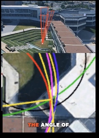
Two stacked aerial panels of the campus buildings, apparently from a mapping service or 3D modelling tool. The upper panel carries red three-dimensional projection lines; the lower carries multicoloured curved lines. The only caption, in white and orange at the bottom of the lower panel, reads "THE ANGLE OF" — and stops there.
The graphic is unusable as it stands. It is not stated which angle is being measured, between which two points, from what source data, or what the coloured curves represent. The truncated caption suggests this is one frame lifted out of a longer video or slide sequence, with the sentence completed somewhere that has not been preserved alongside it.
That is why it sits in the Questionable area rather than with the trajectory work. The same underlying question — what angle, from where — is addressed with stated assumptions and a legible legend in the diagrams on the parent page, and those can be checked. This one cannot.
See Justin Ruh Trajectory Diagram: 157 Degrees, Justin Ruh Diagram: 120 Degrees Facial Radius, and the cluster framing at Questionable.
This website's author is @HolonCitizen on X and YouTube/@HolonCitizen. Follow me there.
Where This Image Appears
This image is used on the following investigation pages:
- Intelligence Service Behind Charlie's 9/10
- Geopolitical and Intelligence‑Service Motive Theories (Claims)
- Img Photo fae6e1
- overview
- overview
- No Counter-Snipers or Secret Service
- Grey Van Shooter — Laser POI
- Narrative Control (Intelligence Service)
Related Areas
- Cluster: Questionable
- All photos: Photos