Aerial: Homes, Road and Institutional Lot
 Next Image
What This Image Shows
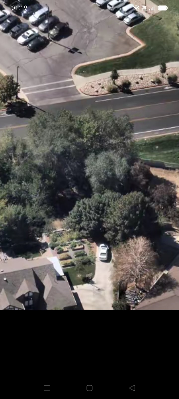
A drone-height aerial looking down on the interface between residential streets and an institutional parking lot: houses, mature trees, an asphalt roadway, one white vehicle in a driveway and a row of parked cars at the top of the frame. A running time marker in the corner shows this is a still pulled from a video walk-through rather than a standalone photograph.
The area covered is the stretch between the north edge of the Utah Valley University campus and the neighborhoods beyond it — the ground the affidavit describes the suspect crossing after 12:24 p.m. on September 10, 2025. Aerial passes like this are how researchers establish what lies between the campus and the reported rifle recovery point, and which properties would have had a view.
No location on this frame is marked as evidentiary and no claim is made about any property or vehicle shown. Read the parent cluster at Gun Found and the ground-level sequence at Drop Off Locations.
This website's author is @HolonCitizen on X and YouTube/@HolonCitizen. Follow me there.
Where This Image Appears
This image is used on the following investigation pages:
Related Areas
More In This Cluster
- Next: Other — Photo 2