Aerial: Campus Lots Beside the Neighborhood
 Next Image
What This Image Shows
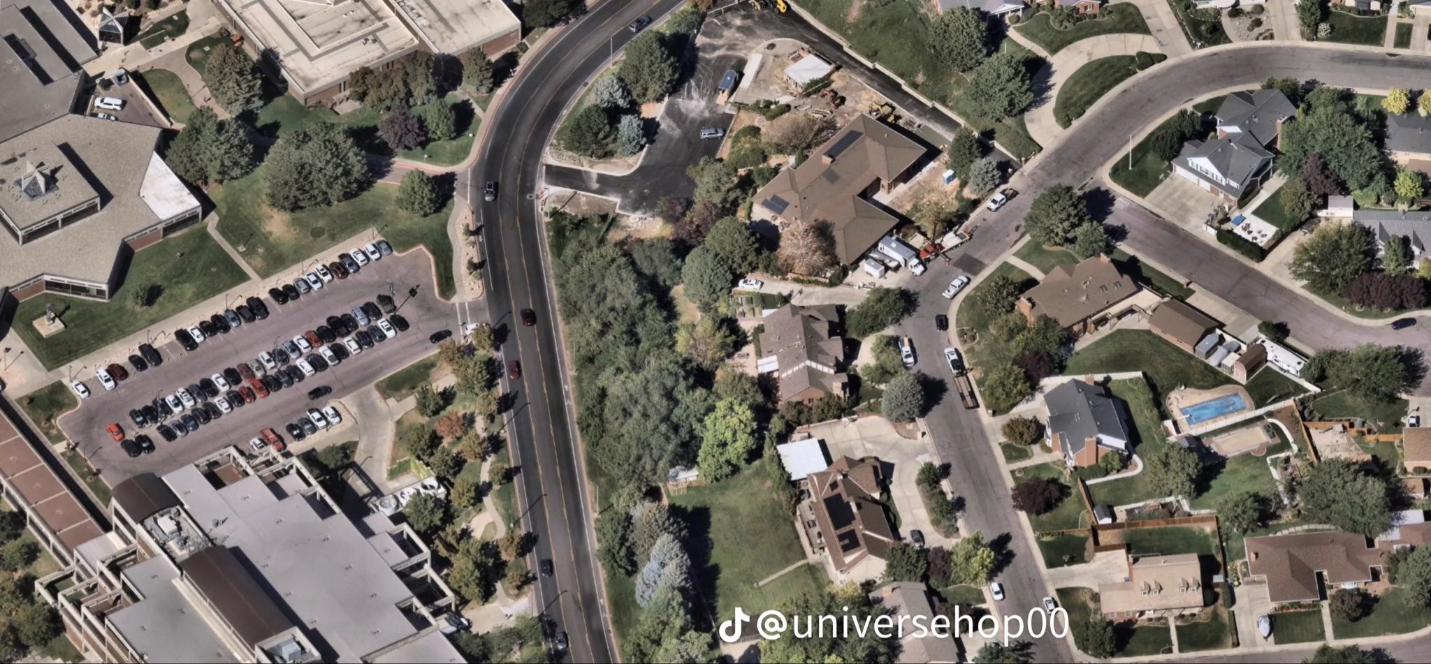
A high-resolution aerial of the transition zone: institutional buildings and large parking lots on one side, single-family homes, lawns and cul-de-sacs on the other, with a curved multi-lane road running between them as the physical divider.
This is the geography every route argument in this section depends on. The affidavit's account has the suspect leaving the campus at 12:24 p.m. on September 10, 2025 heading north across Campus Drive and into wooded ground, while the neighborhood cameras on the residential side produced the 11:49 a.m. sighting and several of the most-shared frames. Seeing both zones in one image makes clear how short the distances are and how many private cameras face that boundary.
This is mapping imagery, not forensic photography, and nothing on it is marked. See the annotated versions in Gun Found, the street frames at Walking, and read Cameras.
This website's author is @HolonCitizen on X and YouTube/@HolonCitizen. Follow me there.
Where This Image Appears
This image is used on the following investigation pages:
- Rifle Found Only After a Federal Redirect (Claims)
- Img Photo 2d3b69
- overview
- overview
- overview
- No GSR & Missing Physical Tests
- Feds Directed the Re-Search That Found the Rifle (Claims)
Related Areas
More In This Cluster
- Previous: Parking Lot Frame With a Circled Light Pole
- Next: Other — Photo 4