Aerial: Homes Along the Multi-Lane Road
 Next Image
What This Image Shows
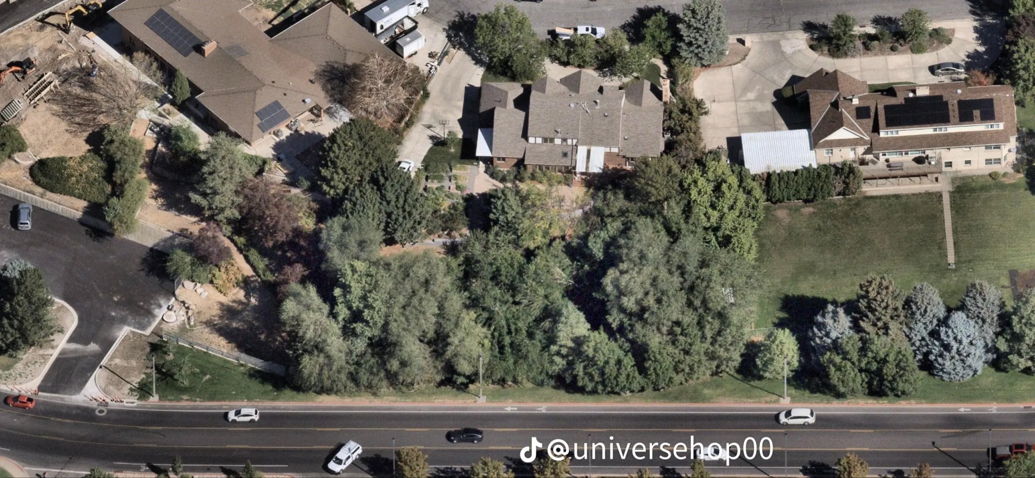
An aerial of the residential blocks along the multi-lane road that borders the campus, showing large single-family homes with gabled roofs among dense trees and lawns, vehicles moving on the road and parked in driveways.
These are the properties whose private cameras produced the neighborhood frames in this case — the porch and doorbell footage behind the 11:49 a.m. sighting on September 10, 2025 and the stills circulated afterward. The tree cover visible here is also part of the practical question researchers raise about how much of the route was actually observable from any fixed camera.
This is mapping imagery. No property is identified here and no claim is made about any resident. See the camera-location map in the parent Tyler Robinson cluster, the frames at Walking, and read Cameras.
This website's author is @HolonCitizen on X and YouTube/@HolonCitizen. Follow me there.
Where This Image Appears
This image is used on the following investigation pages:
- Rifle Found Only After a Federal Redirect (Claims)
- Img Photo b2ecb0
- overview
- overview
- overview
- Feds Directed the Re-Search That Found the Rifle (Claims)
Related Areas
More In This Cluster
- Previous: Aerial: Campus Lots Beside the Neighborhood
- Next: Other — Photo 5