Aerial: Wider View of the Neighborhood
 Next Image
What This Image Shows
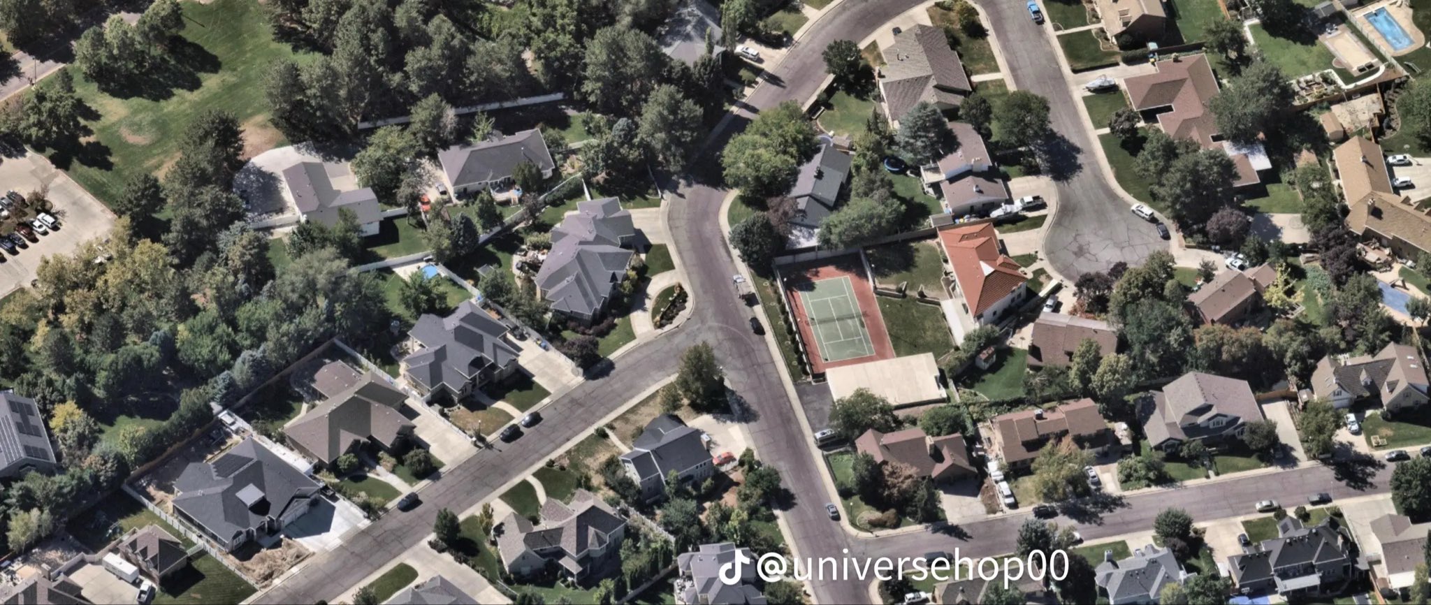
A wider, higher aerial of the same residential area — winding streets, large detached homes, heavy tree cover and a private tennis court near the center right.
The value of the wide view is scale. Route reconstructions in this case are argued in minutes, and minutes only mean something once a reader can see how far apart the campus edge, the neighborhood streets and the wooded ground actually are. The official sequence gives 11:49 a.m. in the neighborhood, 11:50 a.m. on the grass north of Campus Drive, and 12:02 p.m. entering the Losee Center on September 10, 2025 — a set of intervals that only makes sense against this geography.
Mapping imagery, unmarked, with no claim made about any property shown. See the annotated route maps at Gun Found and Walking, then read Maps.
This website's author is @HolonCitizen on X and YouTube/@HolonCitizen. Follow me there.
Where This Image Appears
This image is used on the following investigation pages:
- Rifle Found Only After a Federal Redirect (Claims)
- Img Photo cd243c
- overview
- overview
- overview
- Feds Directed the Re-Search That Found the Rifle (Claims)
Related Areas
More In This Cluster
- Previous: Aerial: Homes Along the Multi-Lane Road
- Next: Other — Photo 6