Street View Along West 800 South
 Next Image
What This Image Shows
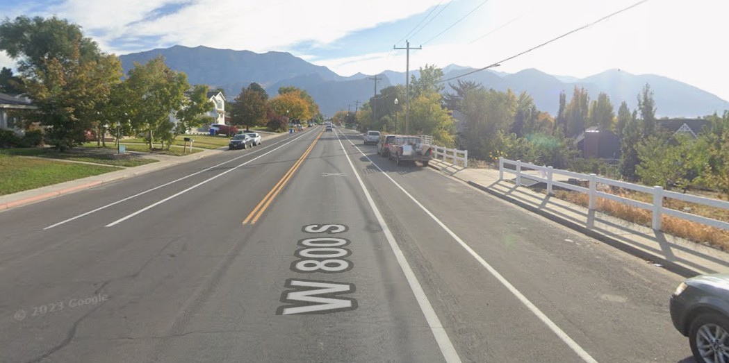
A street-level view from a vehicle-mounted camera looking along W 800 S, a two-lane road with double yellow center lines, houses and lawns to the left, a white fence along a drop-off to the right, parked cars on both shoulders and hazy mountains in the distance. A map-service copyright mark is visible in the frame, dating the imagery to before the events.
Ground-level imagery is the necessary complement to overhead maps. A satellite view can show that a stretch of road has no house overlooking it; only a street view shows the fence line, the drop-off, the vegetation and the actual sightlines a person on foot would have. Researchers tracing the route from the campus into the neighborhoods and wooded areas use both together.
This is archival mapping imagery, not forensic photography, and it shows the location rather than any event. See the annotated overhead of the same intersection in this cluster, the walk-through frames at Drop Off Locations, and read Gun Discovery Sequence.
This website's author is @HolonCitizen on X and YouTube/@HolonCitizen. Follow me there.
Where This Image Appears
This image is used on the following investigation pages:
- Rifle Found Only After a Federal Redirect (Claims)
- Img Photo a8b2c7
- overview
- overview
- The Courtyard Paved Over Days After the Shooting (Claims)
- The Gun Drop Location and the Search Sequence (Claims)
- The Mic Mounted Under the Shirt, Not Over (Claims)
Related Areas
More In This Cluster
- Previous: Overhead Map: Parking on West 800 South
- Next: Gun Found — Photo 5