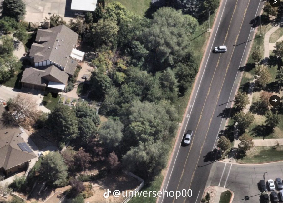
Aerial: Street Beside the Wooded Greenbelt
 Next Image
What This Image Shows
A high-angle aerial photograph, apparently from a drone or light aircraft, looking down on a suburban street where it runs beside a heavily wooded greenbelt buffer and backs onto residential properties. Two vehicles are moving on the roadway and several are parked in a lot at lower right.
The wooded strip is the point. The affidavit describes the suspect fleeing north across Campus Drive, crossing a grassy area with trees at the edge of campus and going into a wooded area north of the campus, where a Mauser Model 98 in .30-06 with a scope was later recovered. An overhead view shows how narrow that band of cover actually is and how close it sits to homes and traffic, which is the basis for the question researchers keep asking: who else could see that ground, and what cameras covered it.
This is a mapping photograph rather than forensic imagery, and no find location is marked on it. See the annotated maps in this cluster, the ground-level walk-through at Drop Off Locations, and read Gun Discovery Sequence and Weapon and Rifle.
This website's author is @HolonCitizen on X and YouTube/@HolonCitizen. Follow me there.
Where This Image Appears
This image is used on the following investigation pages:
- Rifle Found Only After a Federal Redirect (Claims)
- Img Photo bd9259
- overview
- overview
- Feds Directed the Re-Search That Found the Rifle (Claims)
Related Areas
More In This Cluster
- Next: Gun Found — Photo 2