Tracking the Route: Wooded Area 2
 Next Image
What This Image Shows
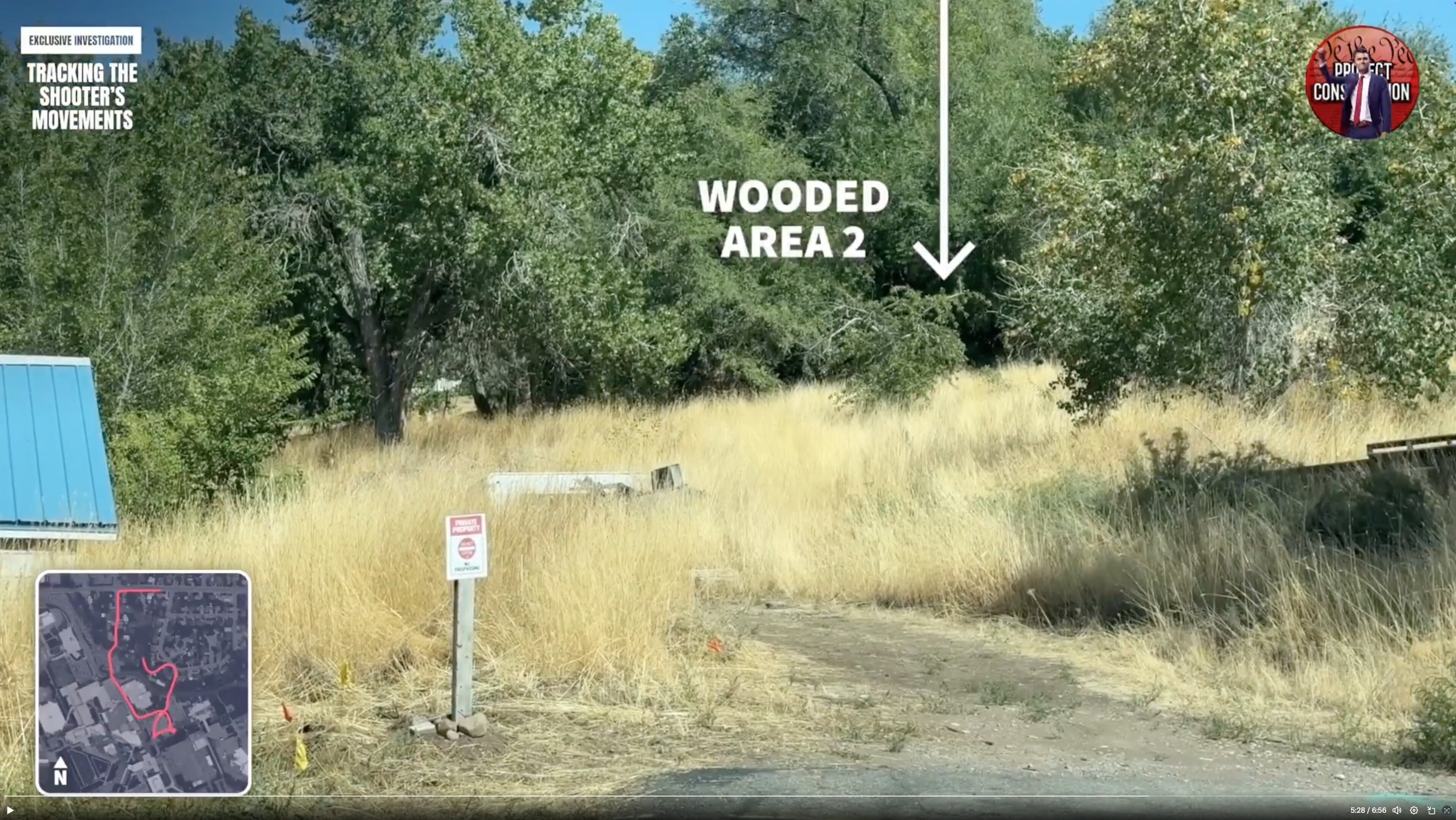
A still labeled WOODED AREA 2, showing tall dry grass, trees and a dirt path, with a small aerial map inset in the corner and the same investigation overlay, at a playback position of about 5:28 of 6:56.
The woods are where the case's physical exhibits are said to have ended up. The affidavit describes the suspect fleeing into a wooded area north of the campus, and a Mauser Model 98 in .30-06 with a mounted scope being recovered there. The transcript attributed to the alleged confession thread separately describes leaving the rifle in a bush where the writer changed outfits, being unable to retrieve it because of a squad car parked nearby, and worrying about fingerprints. Seeing the actual ground — dry grass, thin cover, a walking path — is what lets a reader judge how concealed anything left there would have been.
The area labels are the video maker's numbering, not official designations, and no recovery point is marked as verified. Read Gun Discovery Sequence, Weapon and Rifle and the transcript at Lance.
This website's author is @HolonCitizen on X and YouTube/@HolonCitizen. Follow me there.
Where This Image Appears
This image is used on the following investigation pages:
- Gun & Bullet Analysis
- Wooded Area — Gun Recovery (North of UVU)
- Img Photo 3cf394 x
- overview
- overview
- Img Photo 3cf394
- overview
- overview
- overview
- Tyler Robinson
Related Areas
- Cluster: Drop Off Locations
- All photos: Photos
More In This Cluster
- Previous: Tracking the Route: Suburban Sidewalk
- Next: Drop Off Locations — Photo 3