Aerial With Arrow Marking a Location
 Next Image
What This Image Shows
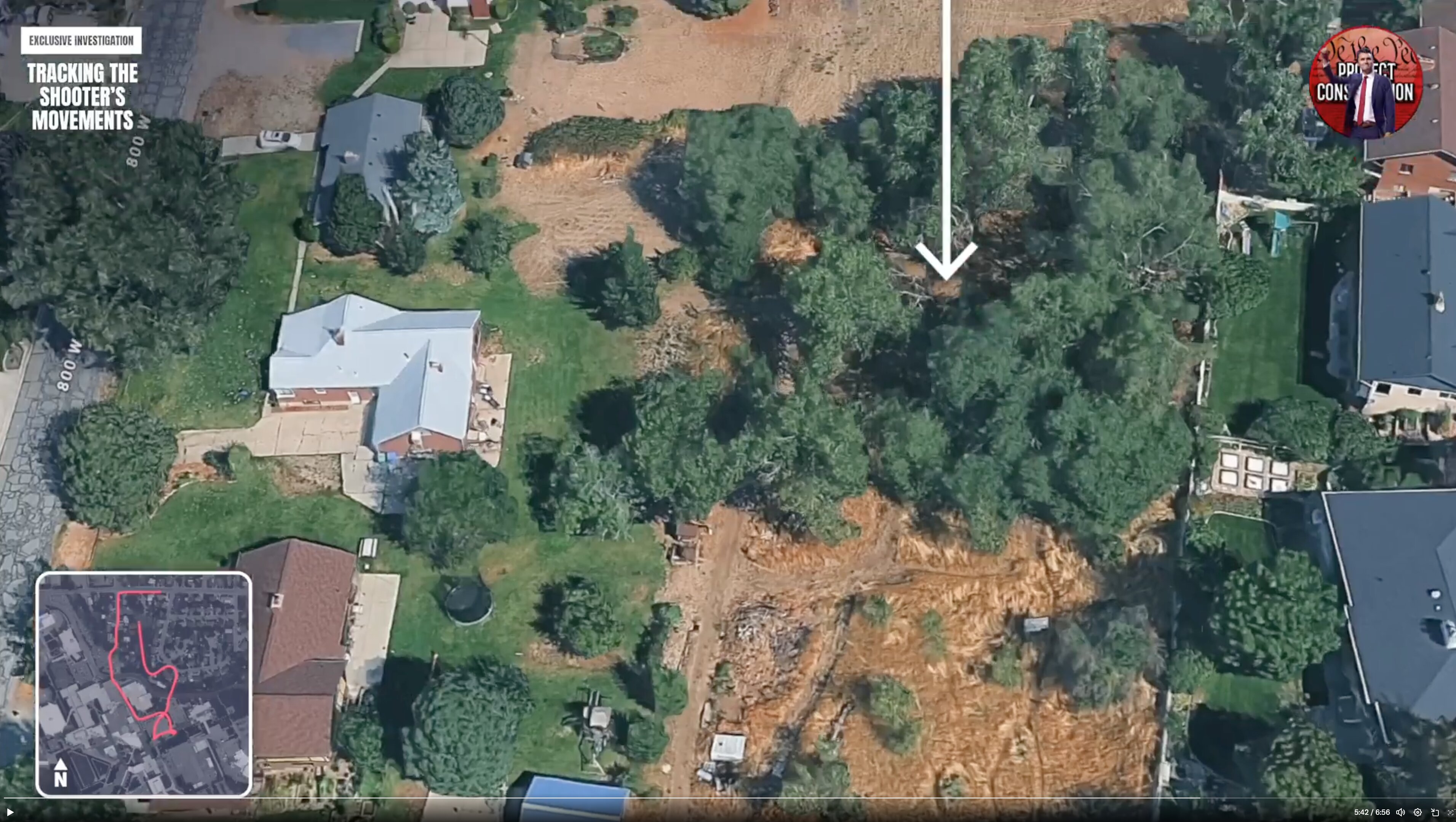
A 3D aerial still of the residential blocks, showing houses with yards, a dense patch of trees and stretches of dry dirt and grass, with a large white arrow pointing down at a specific location and street labels reading 800 and 800 W.
The arrow is the video maker's way of naming a point of interest along the route without stating what was found there. Other material in this section annotates the same area with more explicit labels — a hand-drawn campus map in the parent cluster marks Gun and Way Down, and a 3D map in Gun Found marks Jump Down and Hid Gun. The overhead map of the W 800 S intersection filed there notes roadside parking with no house overlooking it, which is the sightline argument these frames are building toward.
All of these markings are citizen reconstructions and none is an official find location. Read Gun Discovery Sequence and Gun Found.
This website's author is @HolonCitizen on X and YouTube/@HolonCitizen. Follow me there.
Where This Image Appears
This image is used on the following investigation pages:
- Img Photo 48c72b x
- overview
- overview
- Img Photo 48c72b
- overview
- overview
- overview
- Possible Shooter Locations
Related Areas
- Cluster: Drop Off Locations
- All photos: Photos
More In This Cluster
- Previous: Tracking the Route: Wooded Area 3