Tracking the Route: Suburban Sidewalk
 Next Image
What This Image Shows
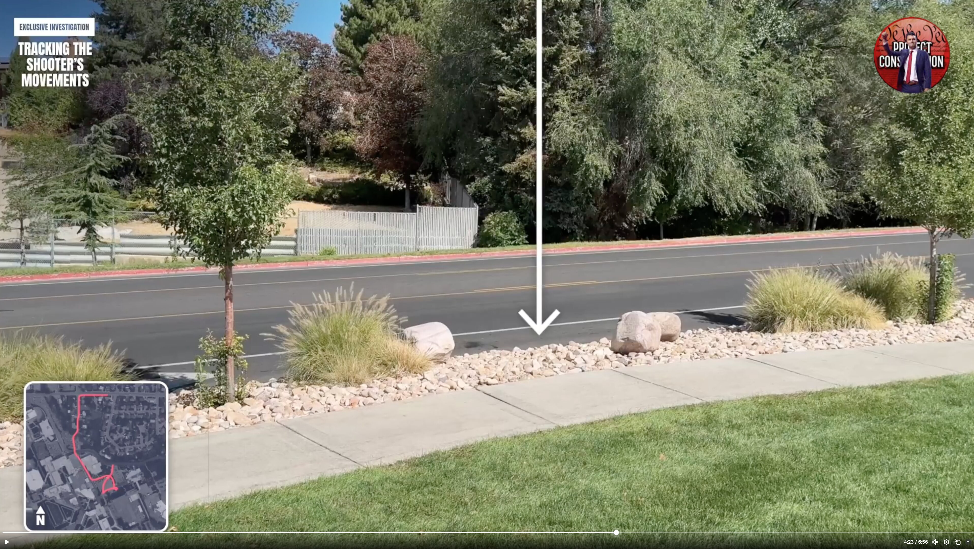
A still from an investigative video walk-through of the claimed escape route, showing a sunny suburban street with a concrete sidewalk, gravel landscaping beds with ornamental grasses and young trees, and a two-lane road behind. The overlay reads EXCLUSIVE INVESTIGATION and TRACKING THE SHOOTER'S MOVEMENTS, with a playback position of about 4:23 of 6:56, and a red circle marks a point on the ground.
The purpose of a walk-through like this is to convert the affidavit's account into something a reader can see. After the shot at about 12:23 p.m. on September 10, 2025, the charging documents have the suspect lowering himself from the roof, running north toward the parking lot east of the Losee Center, crossing Campus Drive and a grassy area with trees, and going into wooded ground north of campus where a Mauser Model 98 was later recovered. Every one of those steps crosses residential ground like this.
The overlays and the circle are the video maker's markings, not official find designations. Follow the rest of the walk-through in this cluster, then read Gun Discovery Sequence and Tyler Robinson on September 10, 2025.
This website's author is @HolonCitizen on X and YouTube/@HolonCitizen. Follow me there.
Where This Image Appears
This image is used on the following investigation pages:
- Img Photo 610276 x
- overview
- overview
- Img Photo 610276
- overview
- overview
- overview
- Possible Shooter Locations
Related Areas
- Cluster: Drop Off Locations
- All photos: Photos