Tracking the Route: Wooded Area 3
 Next Image
What This Image Shows
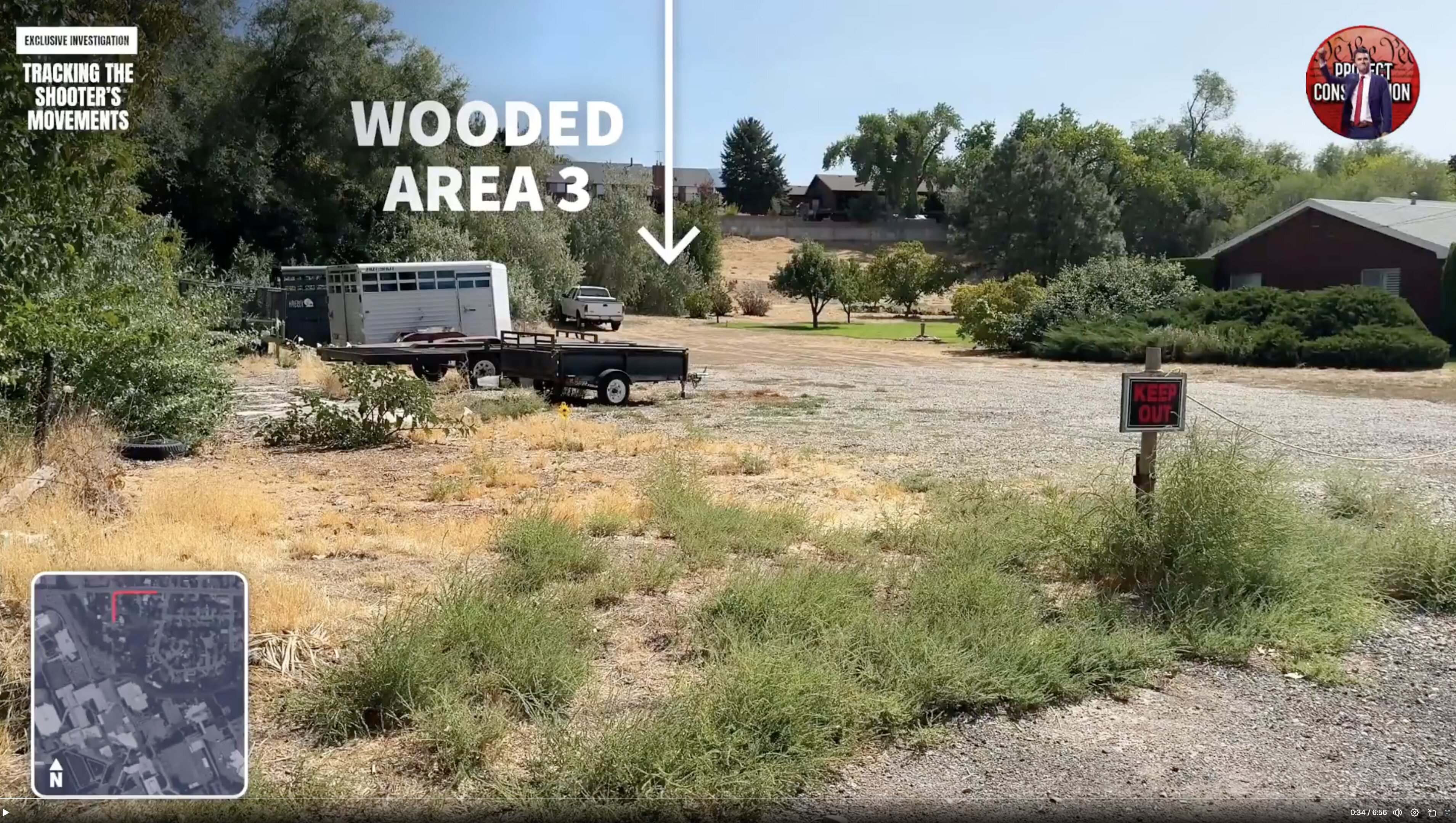
A wide daytime still labeled WOODED AREA 3, showing an open dry lot with gravel, patchy grass, parked trailers and houses in the distance under a clear sky, with a map inset in the corner and a playback position near the start of the video.
The striking thing about this frame is how exposed the ground is. The word wooded suggests cover, and much of this stretch is open lot bordered by homes. That matters directly to the question researchers press hardest here: on the official account a person carried or dropped a rifle roughly 43 to 49 inches long across this ground in the middle of a weekday, in an area with residences and private cameras on several sides, and the public record does not include footage of him doing it.
The numbering of the areas and the route itself are the video maker's reconstruction. Continue through the walk-through frames in this cluster, then read Gun Discovery Sequence and Cameras.
This website's author is @HolonCitizen on X and YouTube/@HolonCitizen. Follow me there.
Where This Image Appears
This image is used on the following investigation pages:
- Gun & Bullet Analysis
- Wooded Area — Gun Recovery (North of UVU)
- Img Photo 7e0bc1 x
- overview
- overview
- Img Photo 7e0bc1
- overview
- overview
- overview
- Tyler Robinson
Related Areas
- Cluster: Drop Off Locations
- All photos: Photos