Aerial Map Overlay With Street Labels
 Next Image
What This Image Shows
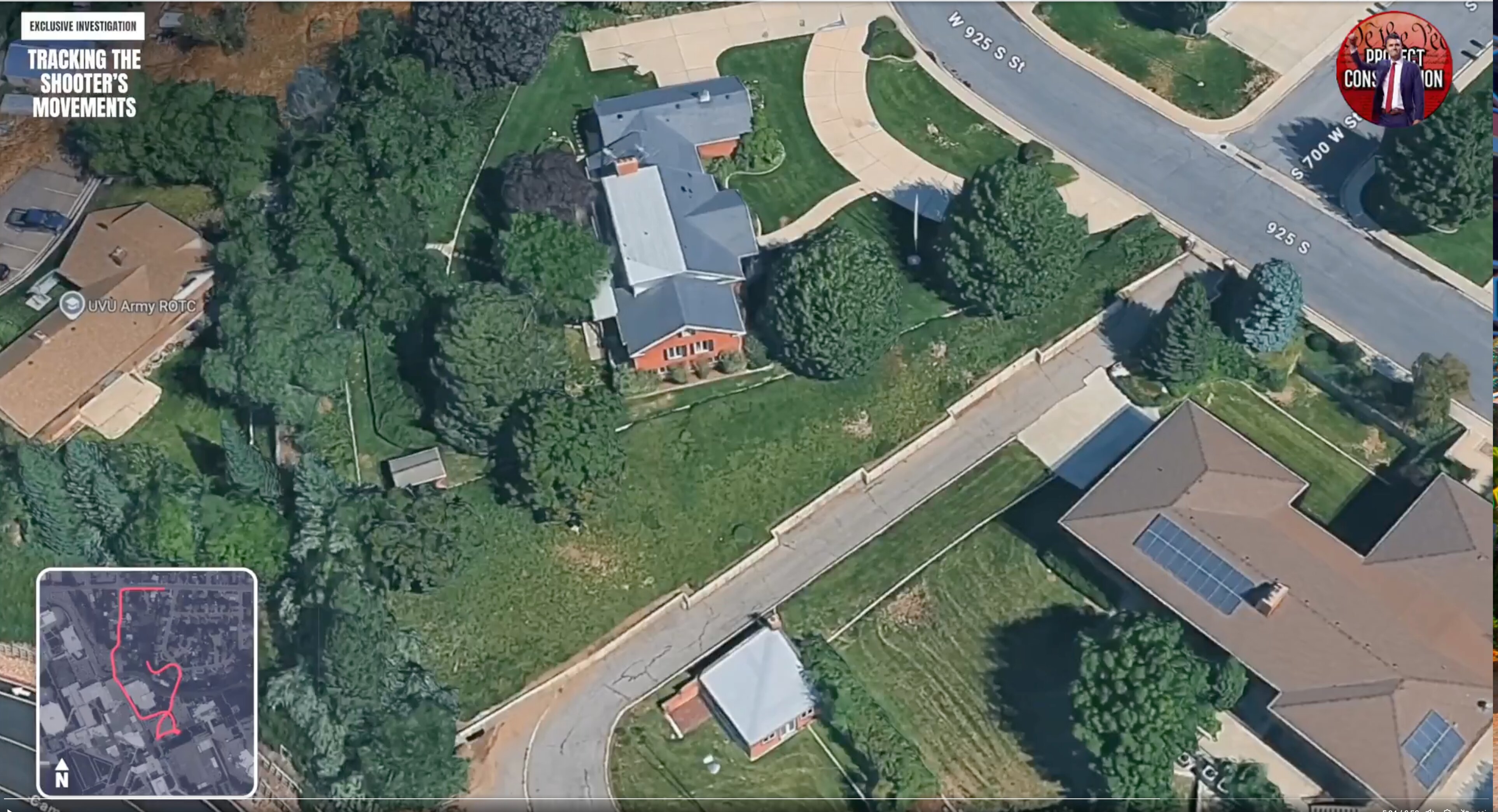
A 3D aerial map still from the same walk-through, showing large houses with lawns, mature trees and driveways along a curved roadway. The overlaid labels include 700 W, W 925 S and a UVU Army ROTC marker, alongside the investigation graphics and a small map inset.
The street numbering here matches the annotated camera map filed in the parent Tyler Robinson cluster, which marks a private camera position on W 925 S St near S 700 W St and S 635 W St. Those are the blocks where the neighborhood sighting recorded in the charging documents at 11:49 a.m. on September 10, 2025 was captured, and where several of the most-circulated porch and doorbell frames come from. Being able to name the streets is what turns a set of anonymous stills into a sequence.
Aerial map graphics are approximations produced for a video, not surveyed exhibits. Read the porch frames in Walking, the camera-location map in the parent cluster, and Maps.
This website's author is @HolonCitizen on X and YouTube/@HolonCitizen. Follow me there.
Where This Image Appears
This image is used on the following investigation pages:
- Img Photo dbec62 x
- overview
- overview
- Img Photo dbec62
- overview
- overview
- overview
- Possible Shooter Locations
Related Areas
- Cluster: Drop Off Locations
- All photos: Photos
More In This Cluster
- Previous: Rooftop Foreground, Campus Beyond
- Next: Drop Off Locations — Photo 5