Drop Off Locations — Photos
Photos filed under Drop Off Locations — 7 images on this page. Scan the list and open any image for the full picture and its write-up.
About This Cluster
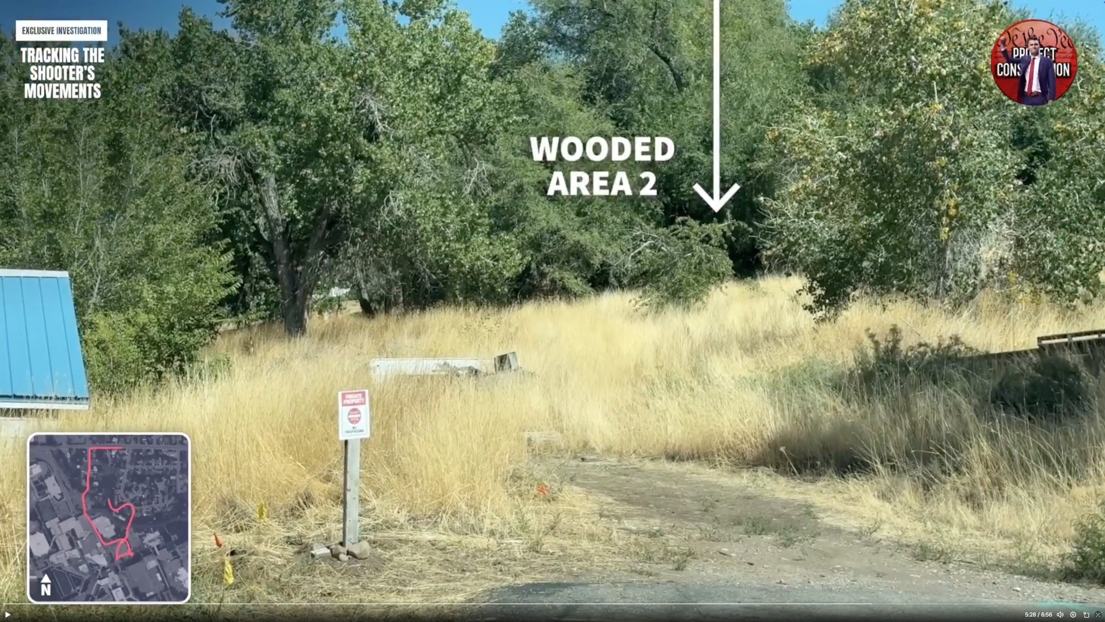
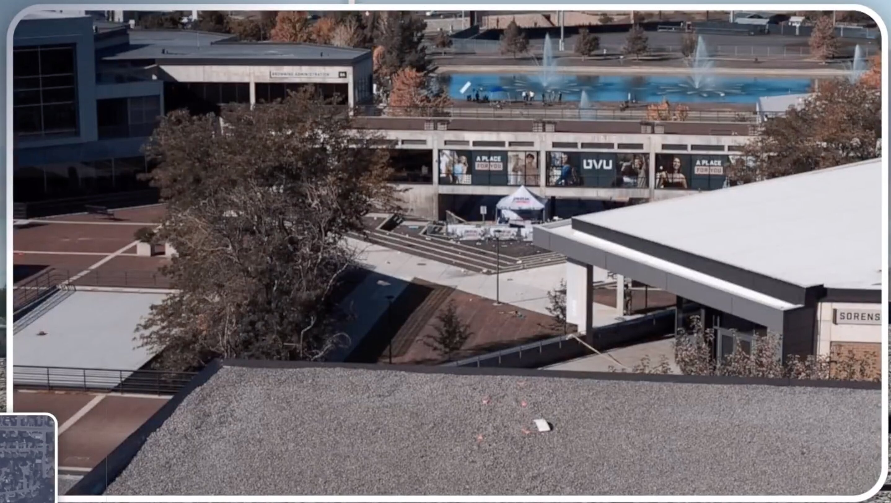
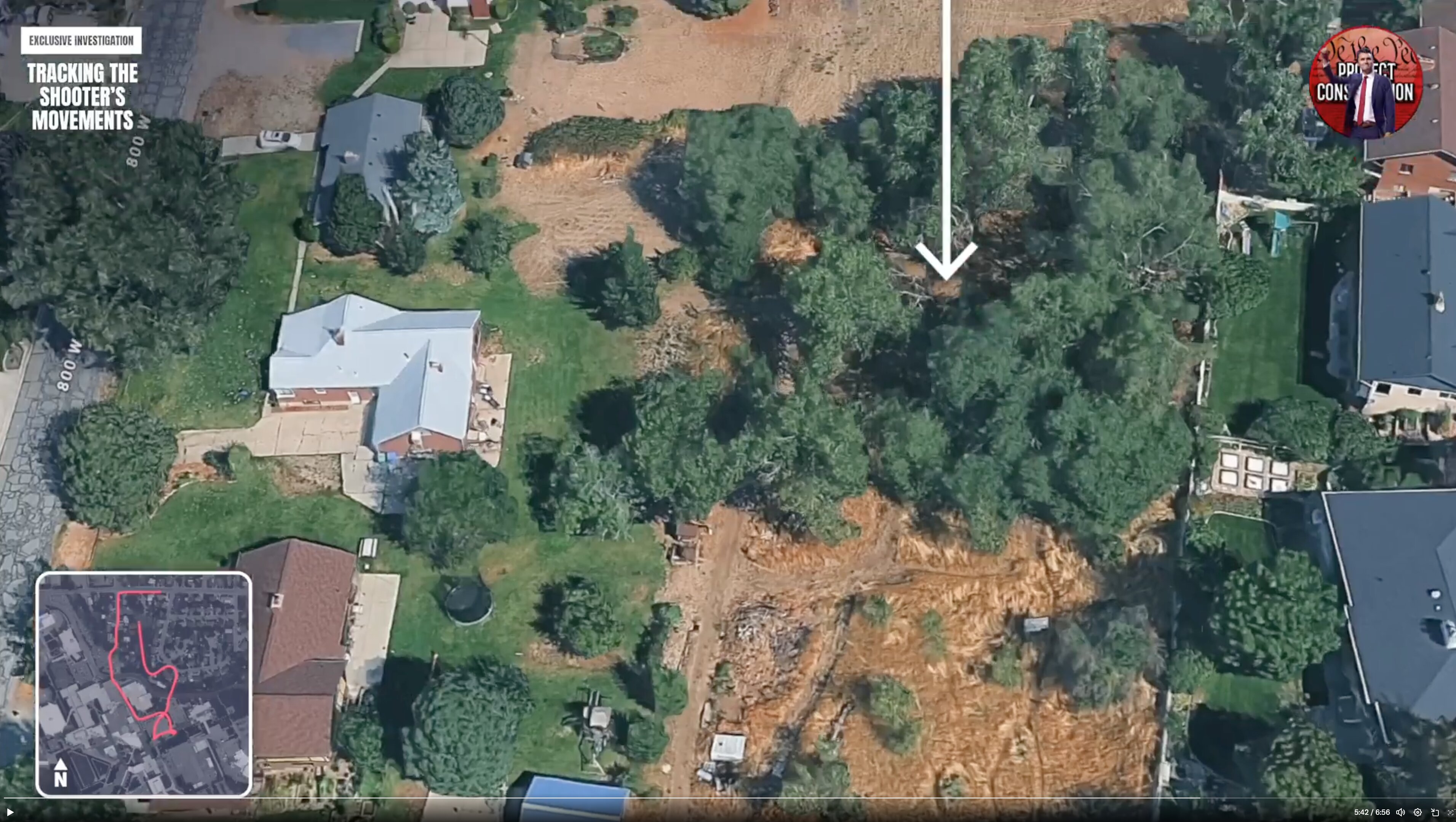
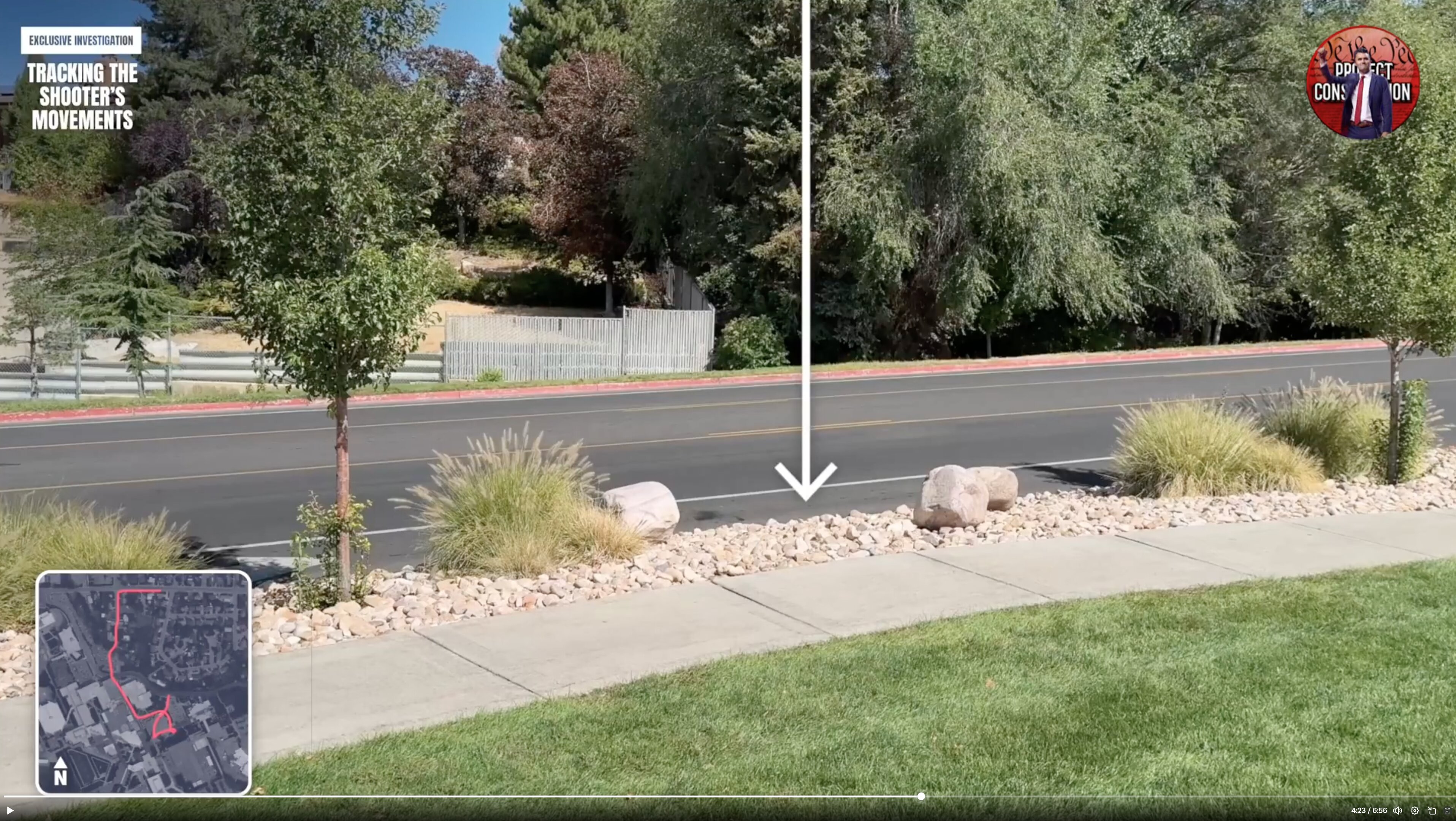
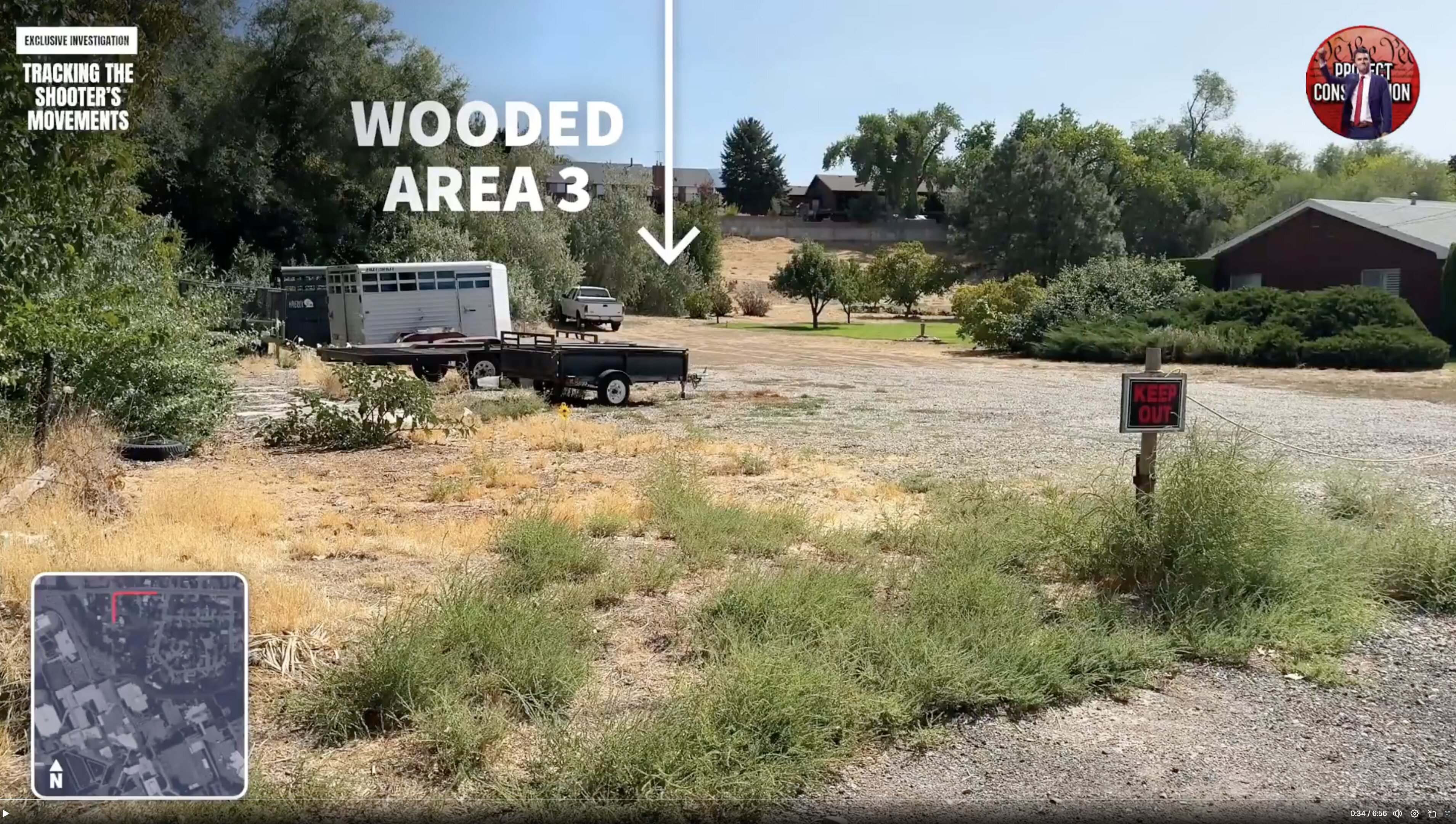
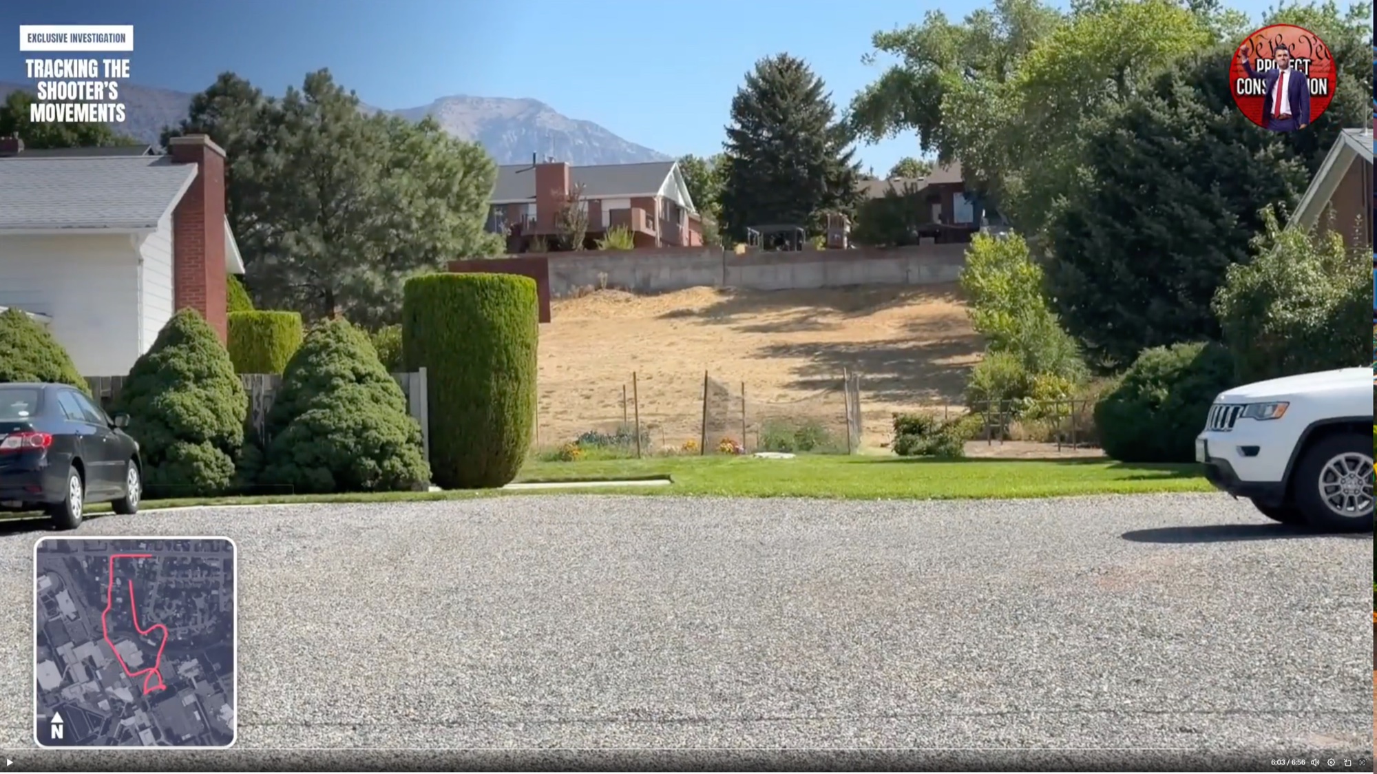
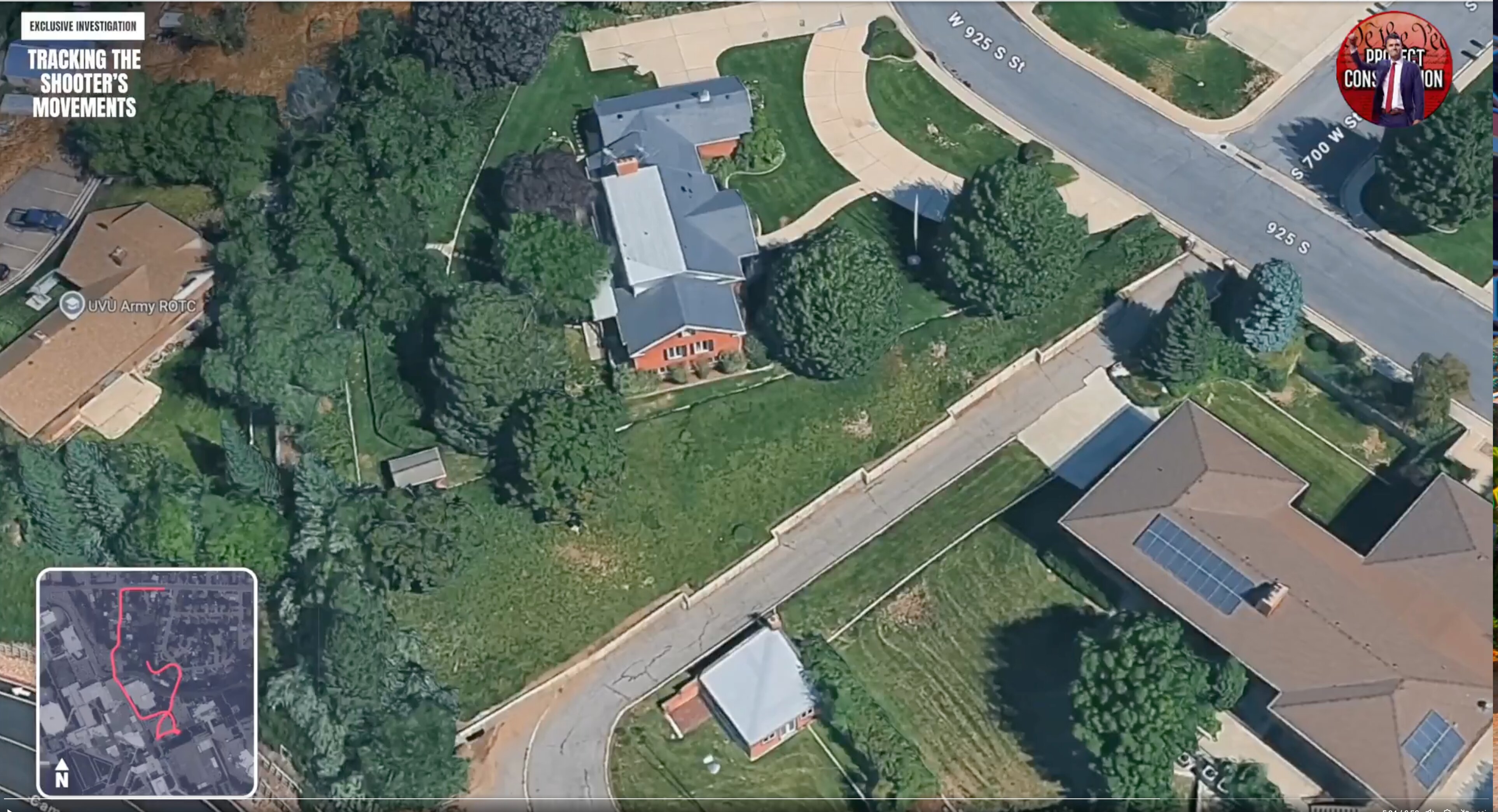
This sub-cluster picks the route up where campus ends. After the 12:24 p.m. departure described in the charging documents, the suspect is said to have crossed Campus Drive, moved through a grassy area with trees at the edge of campus, and gone into wooded ground north of Utah Valley University, where a Mauser Model 98 bolt-action rifle in .30-06 with a mounted scope was later recovered. The images here are stills from an investigative video walk-through of that path, marking the residential streets, driveways, gravel lots and the areas labeled Wooded Area 2 and Wooded Area 3.
The frames carry on-screen graphics reading EXCLUSIVE INVESTIGATION and TRACKING THE SHOOTER'S MOVEMENTS, along with aerial map insets, street labels such as 700 W, 800 W and W 925 S, and a UVU Army ROTC marker. What researchers are trying to establish with them is basic and unresolved: exactly where the rifle was found, how far that is from the rooftop, what a person carrying it would have crossed to get there, and which cameras along that route should exist. One commentator quoted in this material notes that the buildings on either side of the reported drop point have never been discussed publicly, and asks why the official timeline is thin in exactly the stretch where phone and camera data should be richest. These are questions raised by citizen investigators from public footage, not findings of any court.
Walk the stills in the order the video takes them, from the campus edge outward, and use the aerial map frames to keep track of which street each ground-level shot is on. Then read Gun Discovery Sequence and Weapon and Rifle for what is known and disputed about the recovery itself. The parent Walking cluster holds the on-campus half of the same route, and Gun Found holds the weapon imagery.
This website's author is @HolonCitizen on X and YouTube/@HolonCitizen. Follow me there.