Overhead Drone View of the UVU Courtyard
What This Image Shows
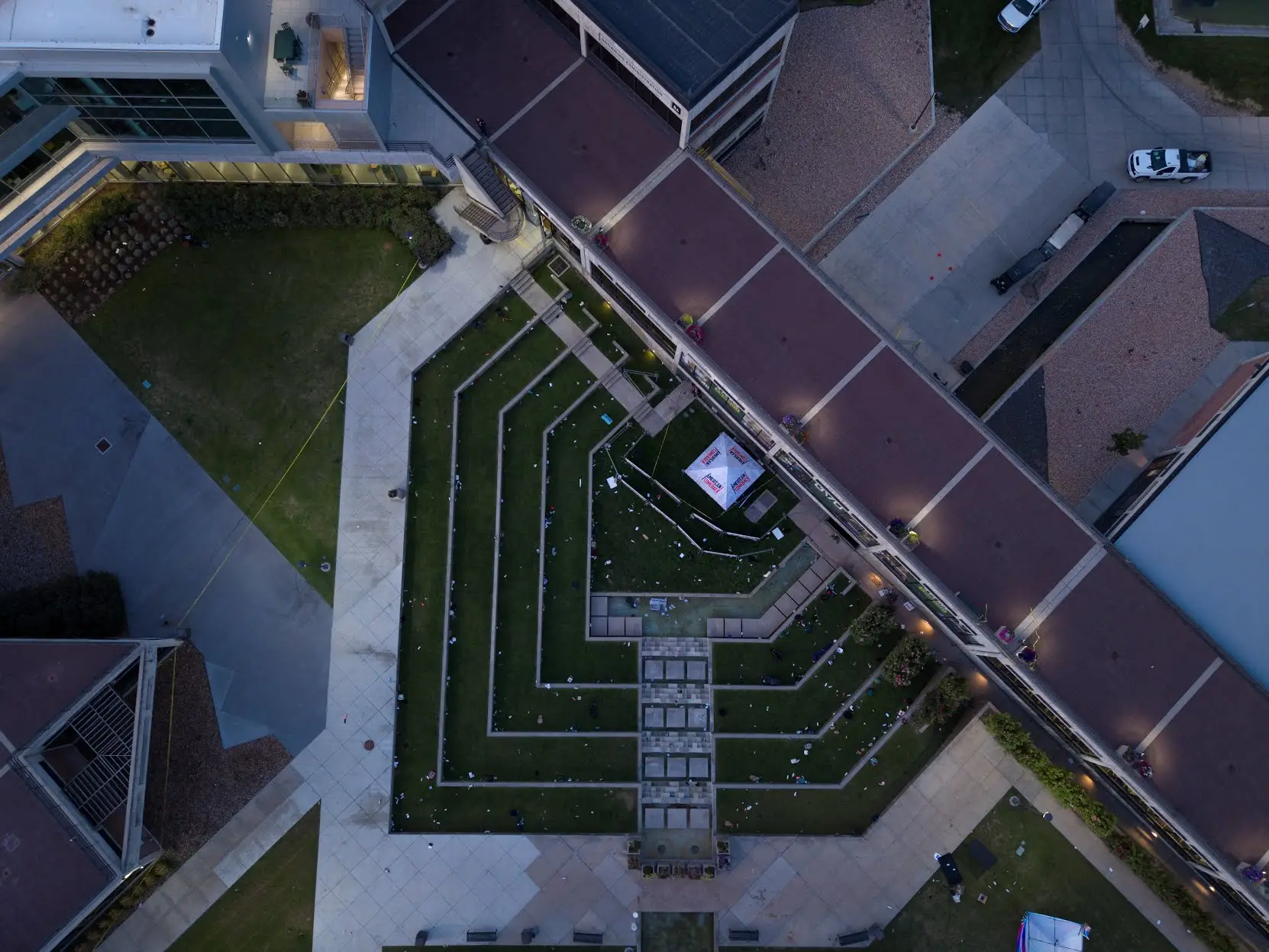
A straight-down aerial frame of the Utah Valley University courtyard at dusk or early evening. The central lawn is landscaped into a symmetrical, nine-branched terraced pattern and is scattered with small pieces of white debris. Flat-roofed multi-story academic buildings enclose the courtyard on all sides, linked by an elevated pedestrian skybridge, and interior and exterior lights are beginning to come on.
The frame carries no readable on-screen text.
An overhead plate is the single most useful reference image for a site reconstruction, because it fixes distances, roof edges and the skybridge in one view rather than in a series of oblique guesses. Researchers have used views like this one to test claimed firing positions and escape routes against the actual roofline. Compare it with The Shot and the Shooter Position, Maps and UVU.
Related Areas
- Cluster: Unfiled Backlog
- All photo evidence: Photos
More In This Cluster
- Previous: Terraced Amphitheater and the Campus Pond
- Next: Unfiled Backlog — Photo 14