Annotated 3D Map Marking a Shooter Position
What This Image Shows
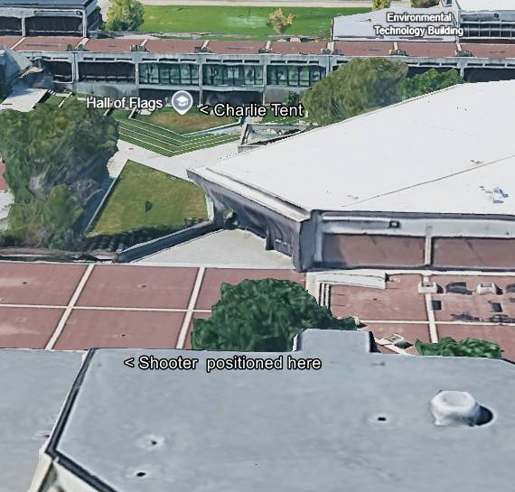
An angled 3D satellite rendering of the campus plaza and surrounding buildings, of the kind produced by photogrammetry in mapping software, annotated with black-and-white text labels.
The labels read "Environmental Technology Building," "Charlie Tent" with an arrow, and "Shooter positioned here" with an arrow pointing at a foreground rooftop.
Annotated 3D plates are the working tool of the position argument, because they let a claimed firing point, the tent and the intervening structures be seen in one view at true relative scale. The position marked here is the annotator's, and different researchers have marked different roofs; the acoustic work in this archive reaches its own answer independently. Compare with The Shot and the Shooter Position, Maps and Proof Not Tyler.
Related Areas
- Cluster: Unfiled Backlog
- All photo evidence: Photos